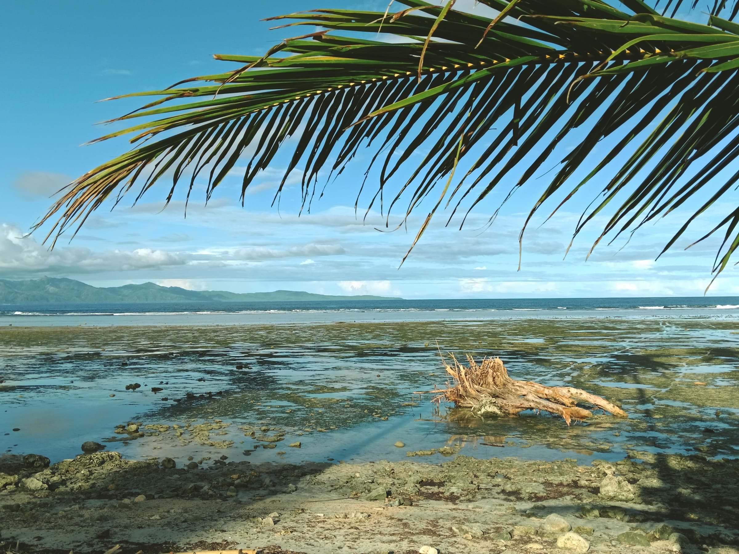
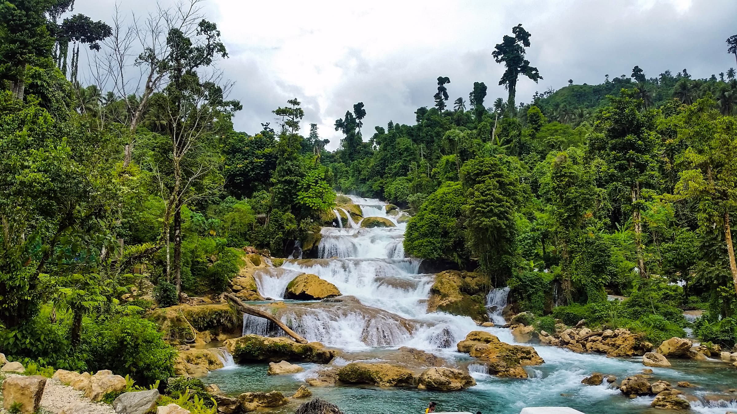
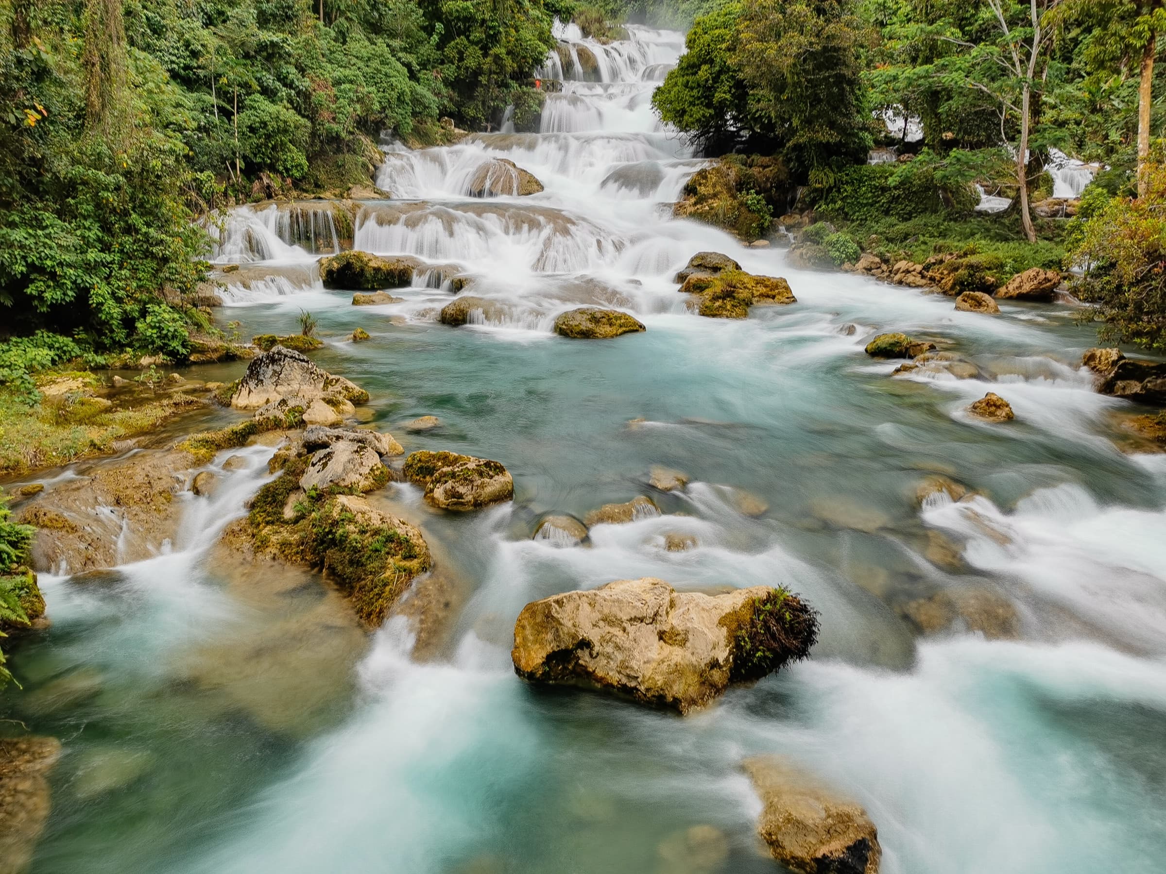
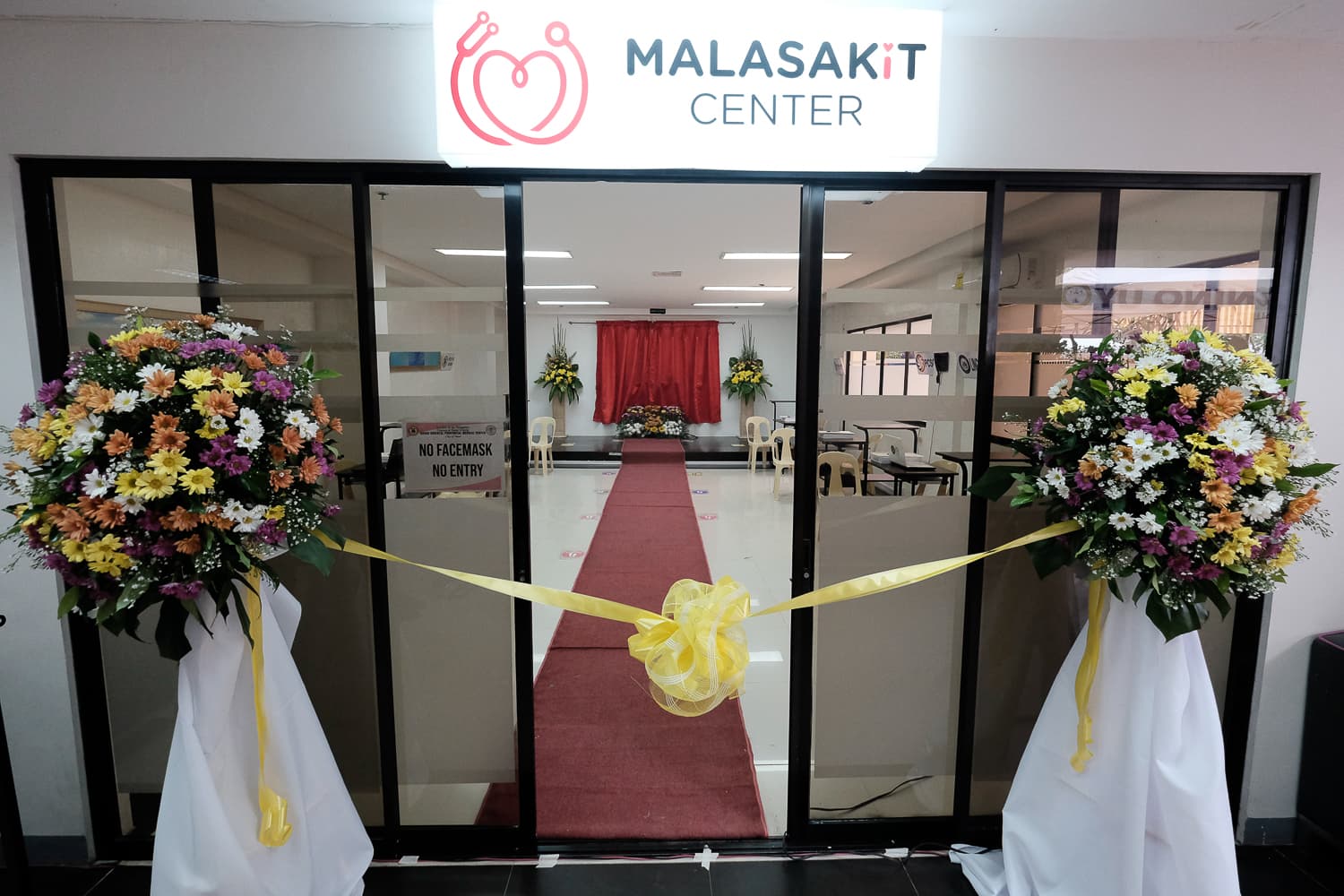
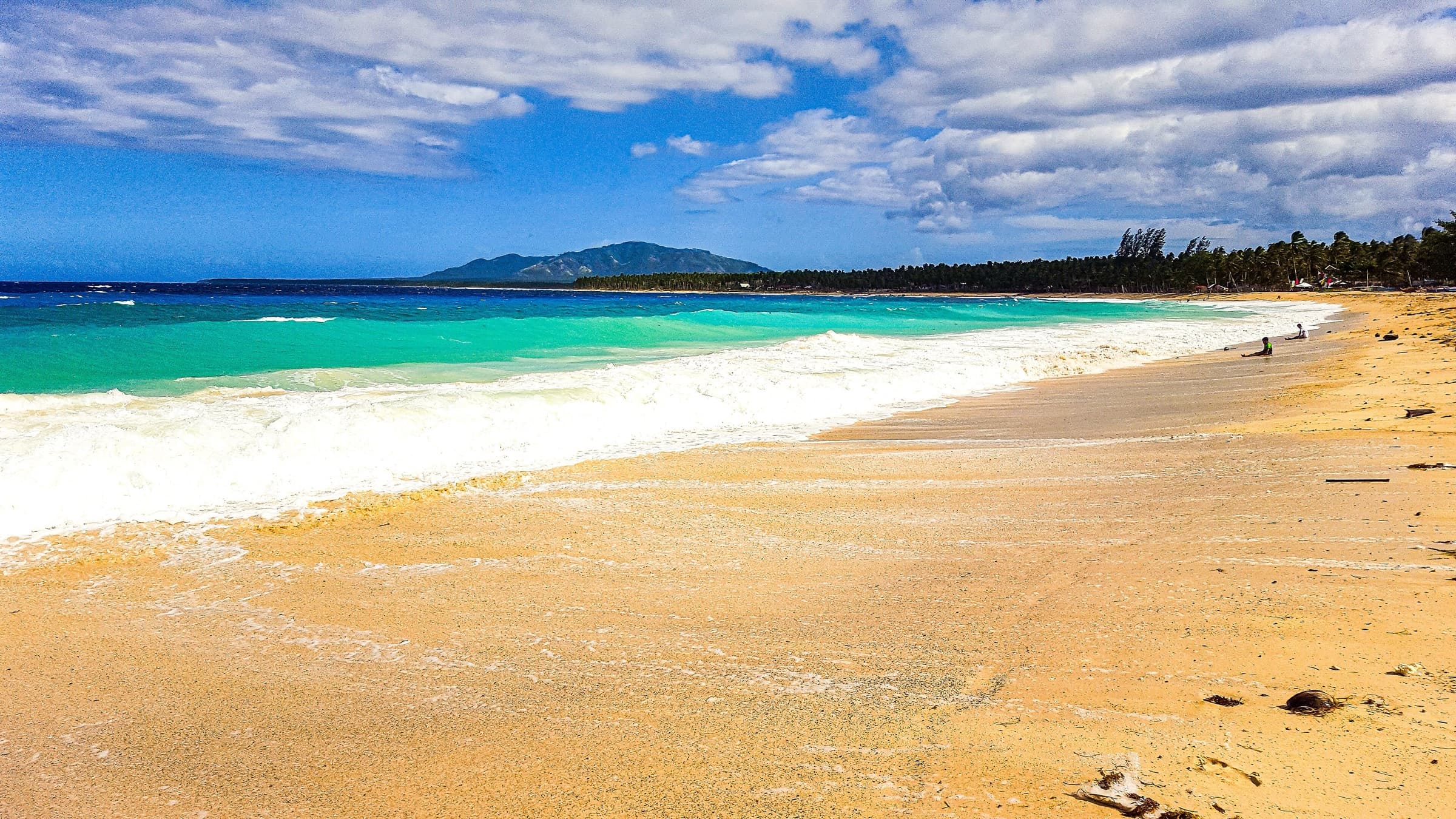
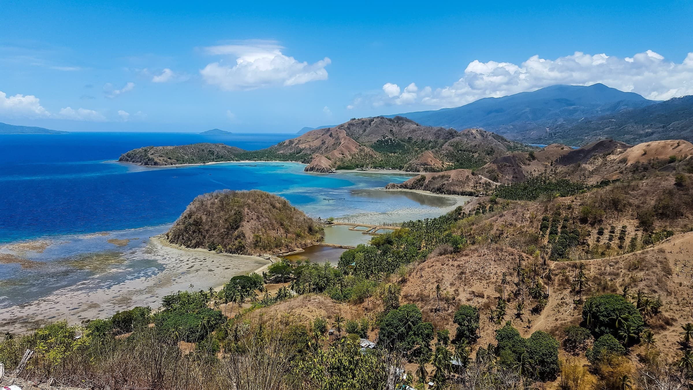
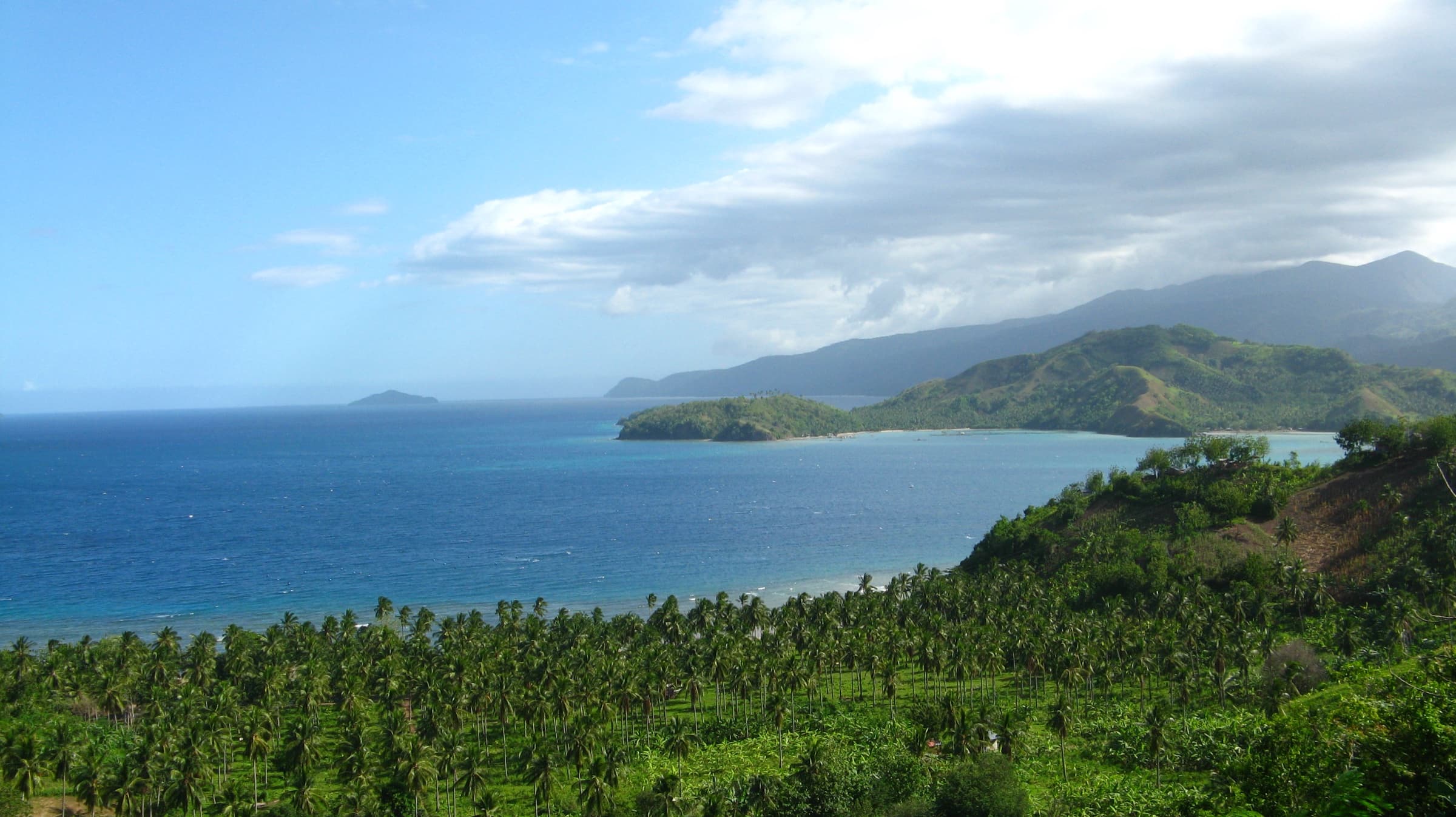
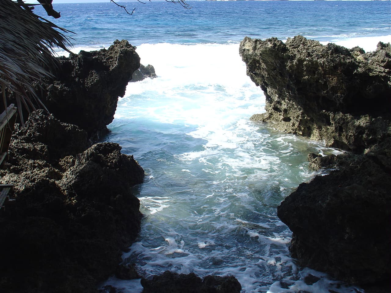
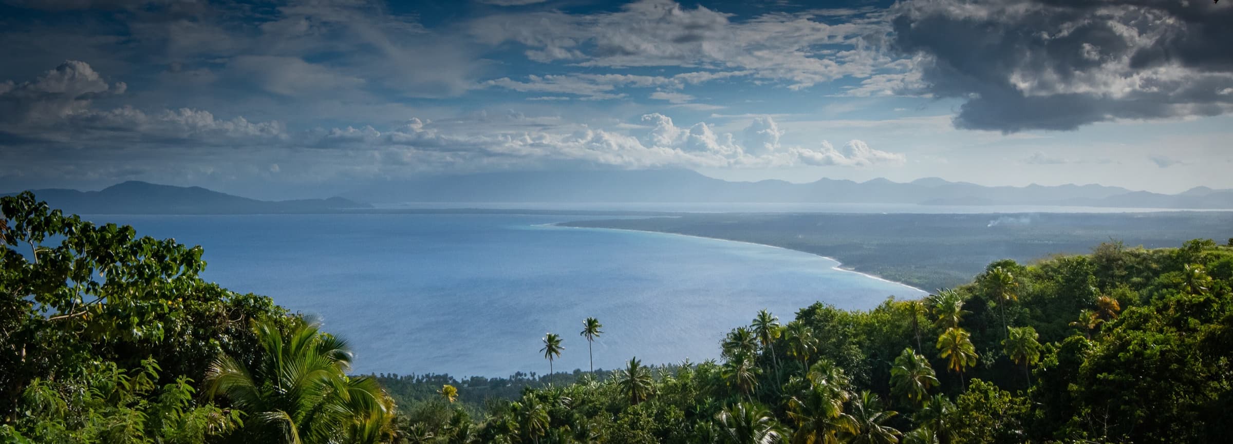
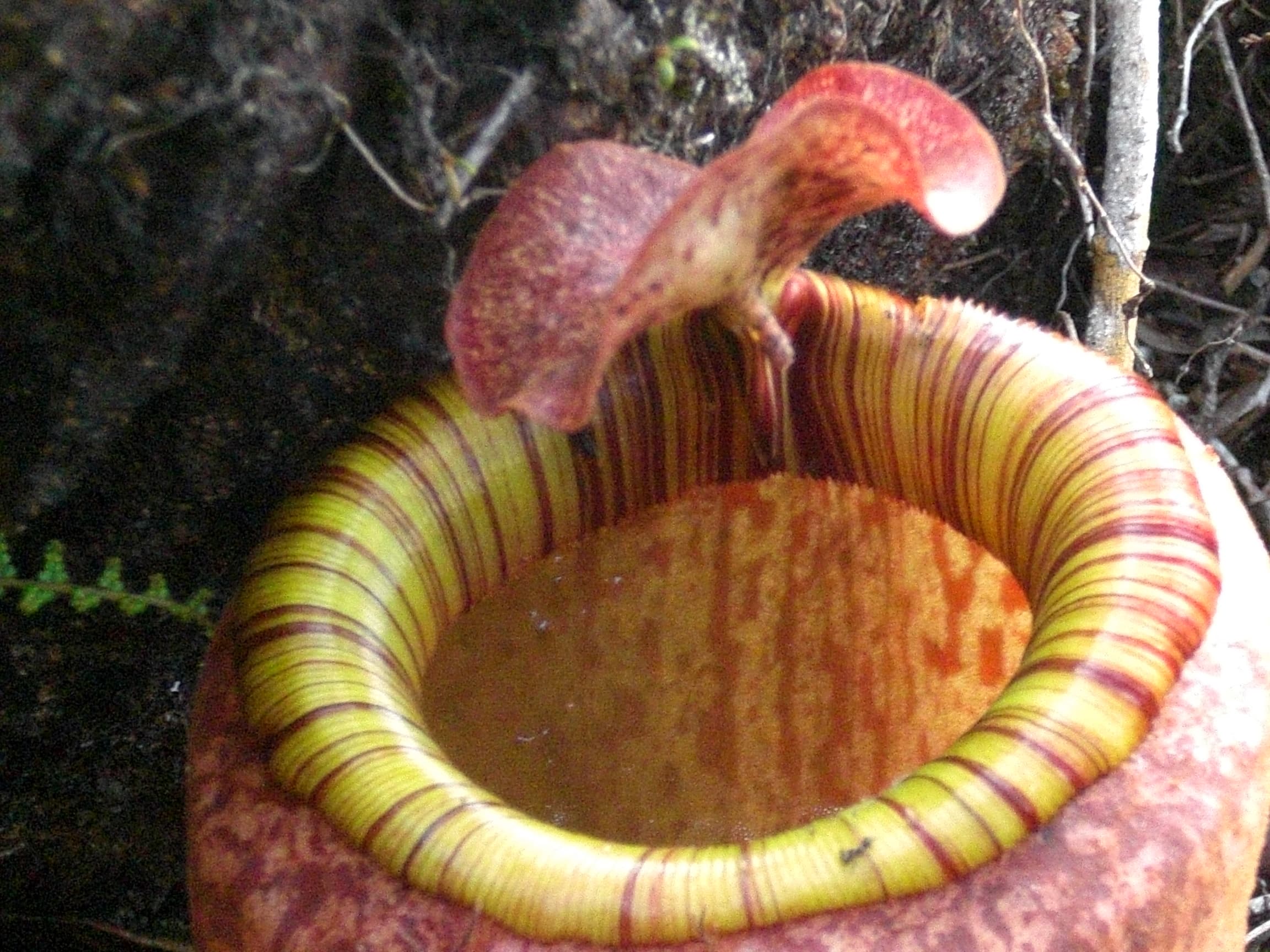
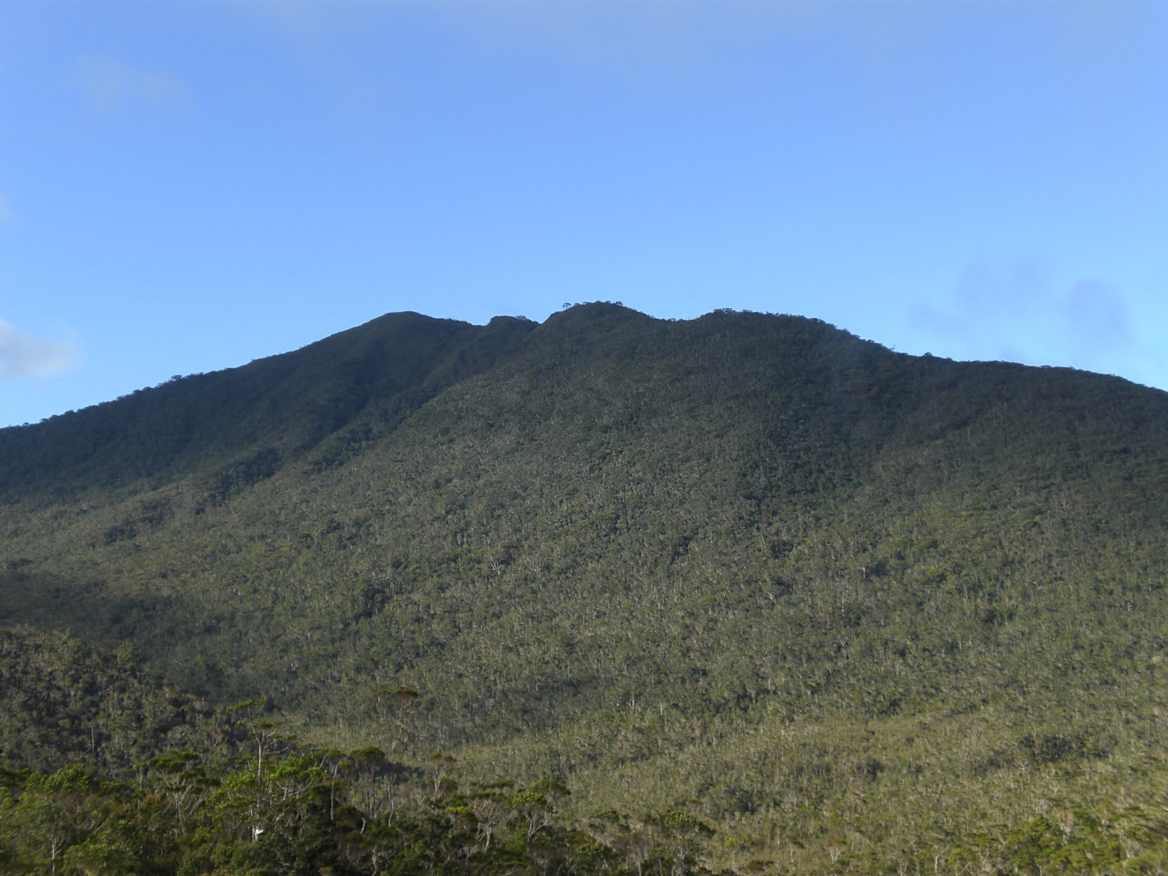
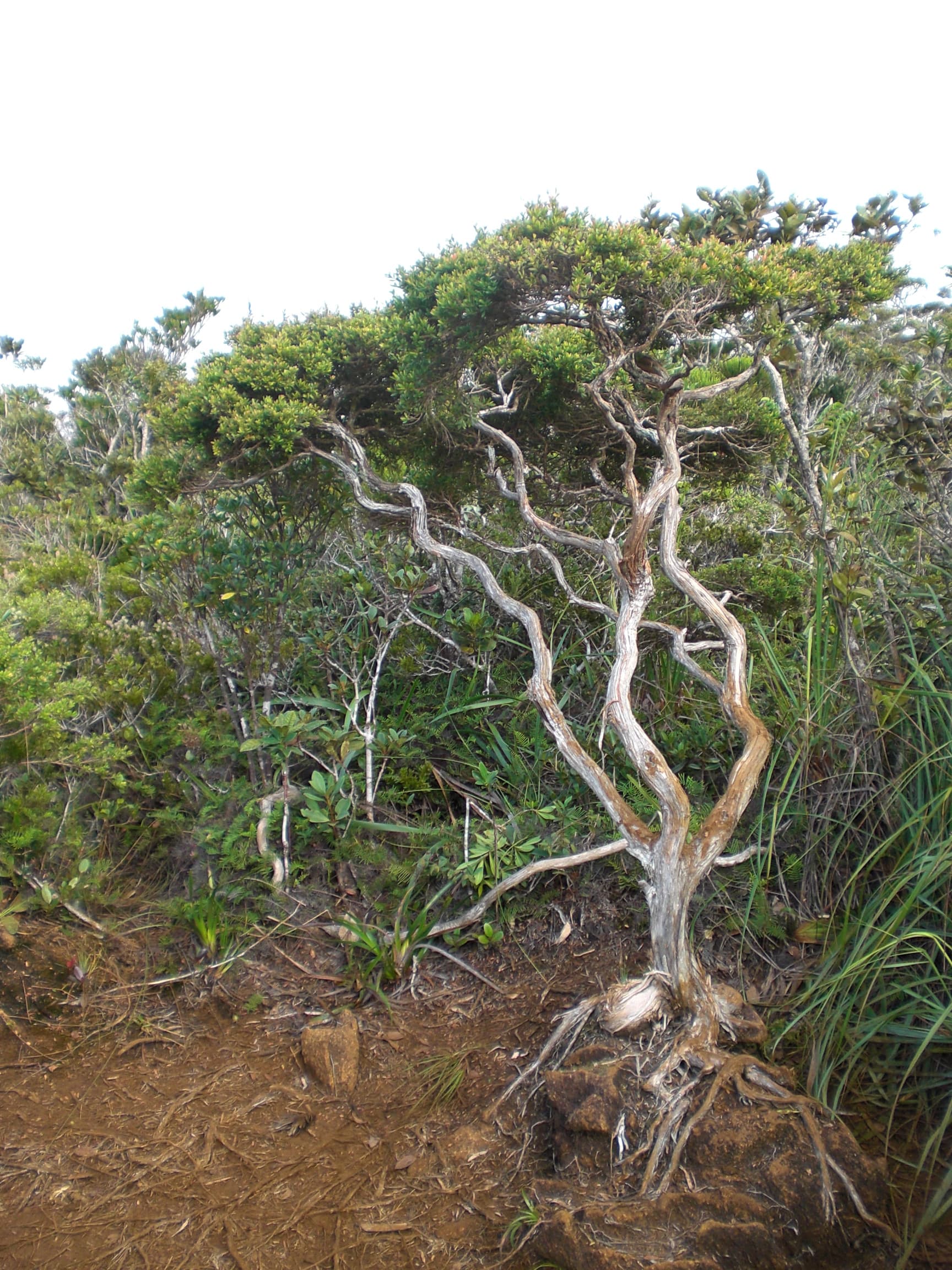
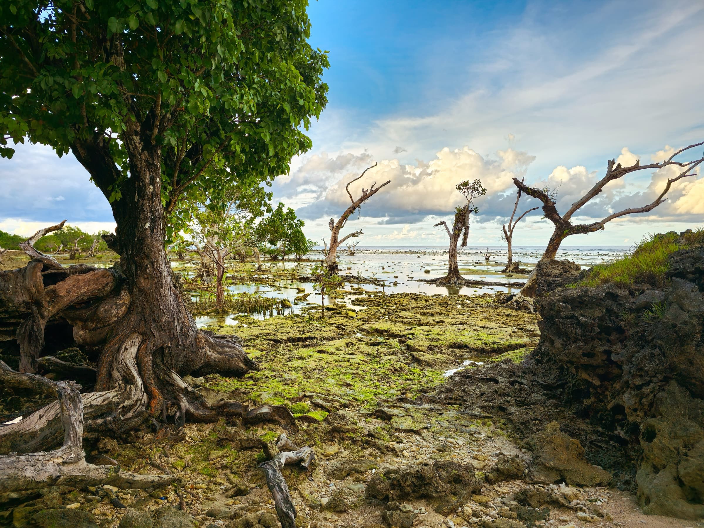
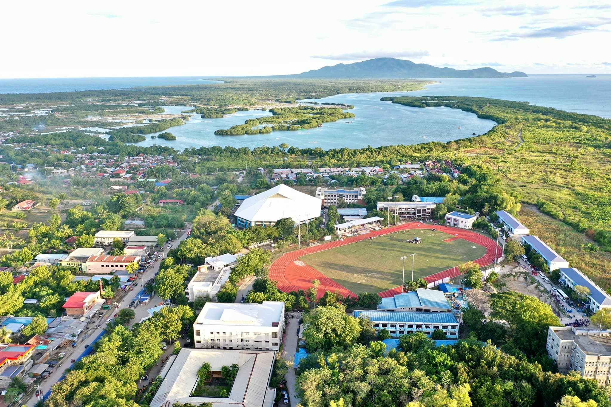
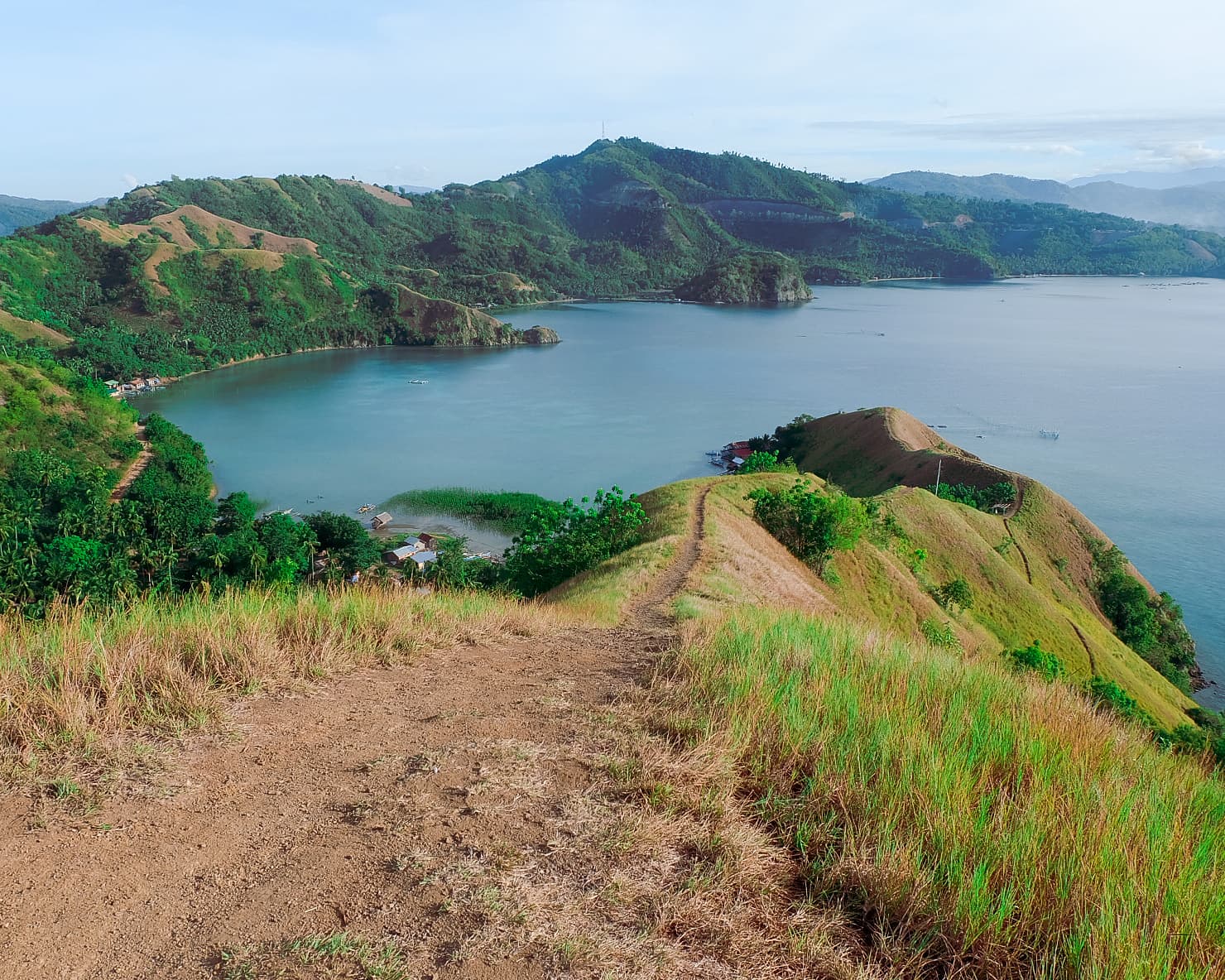
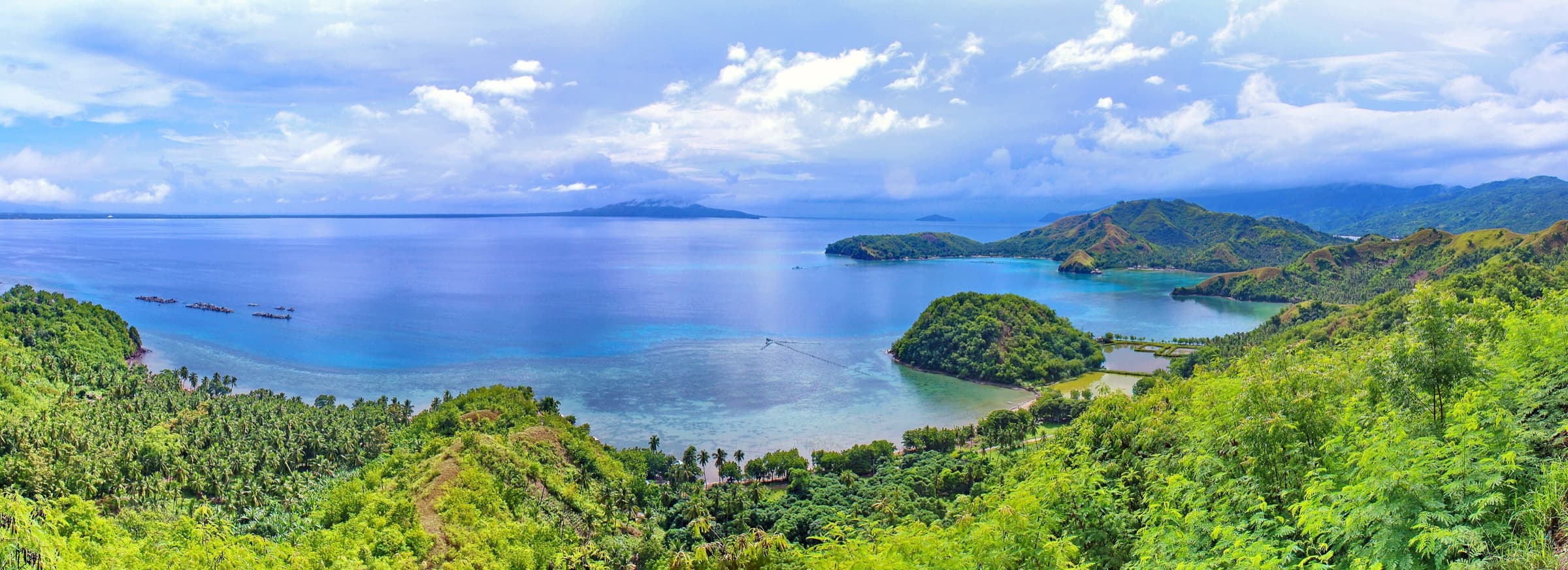
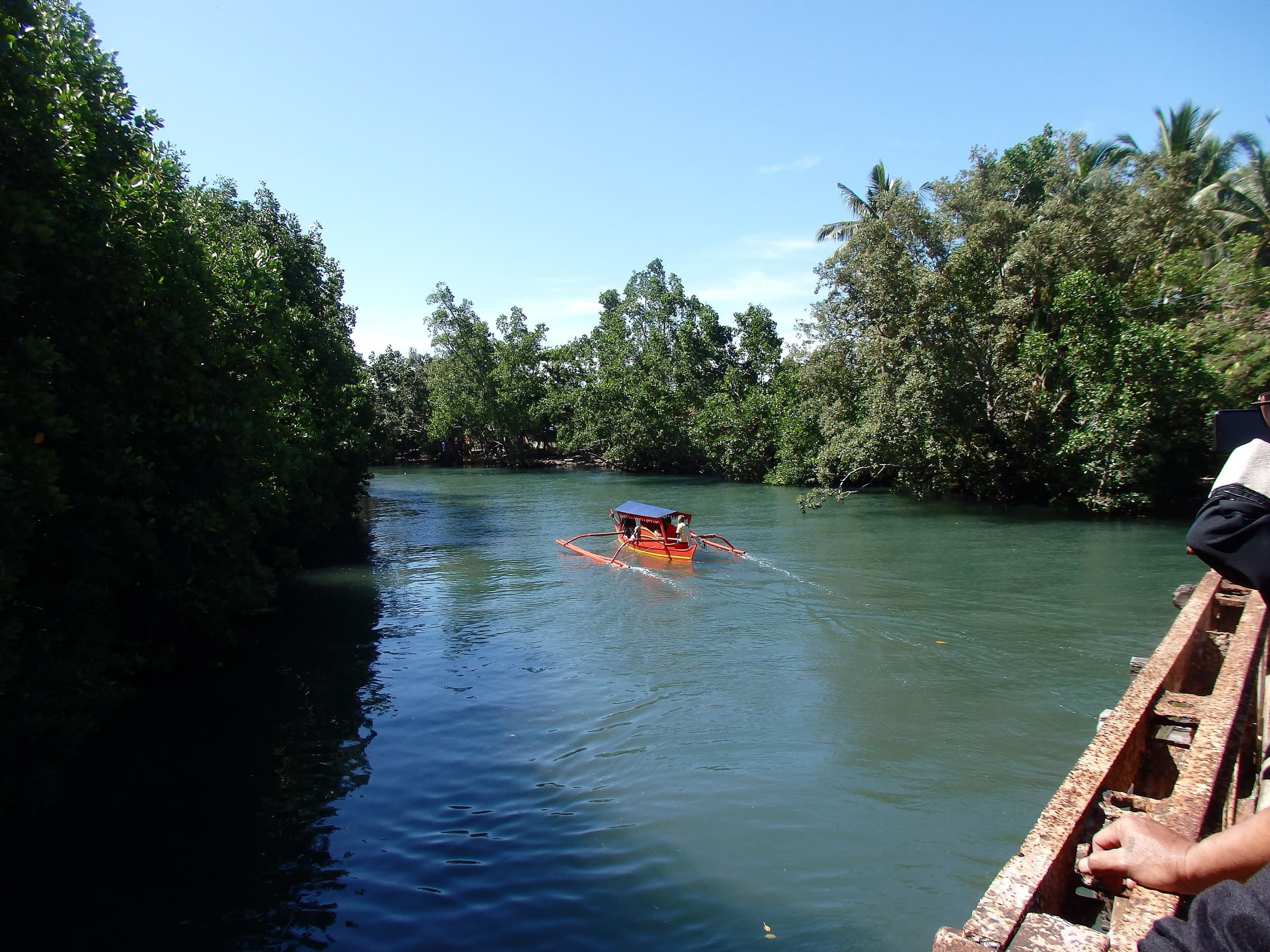
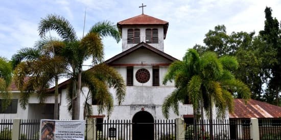
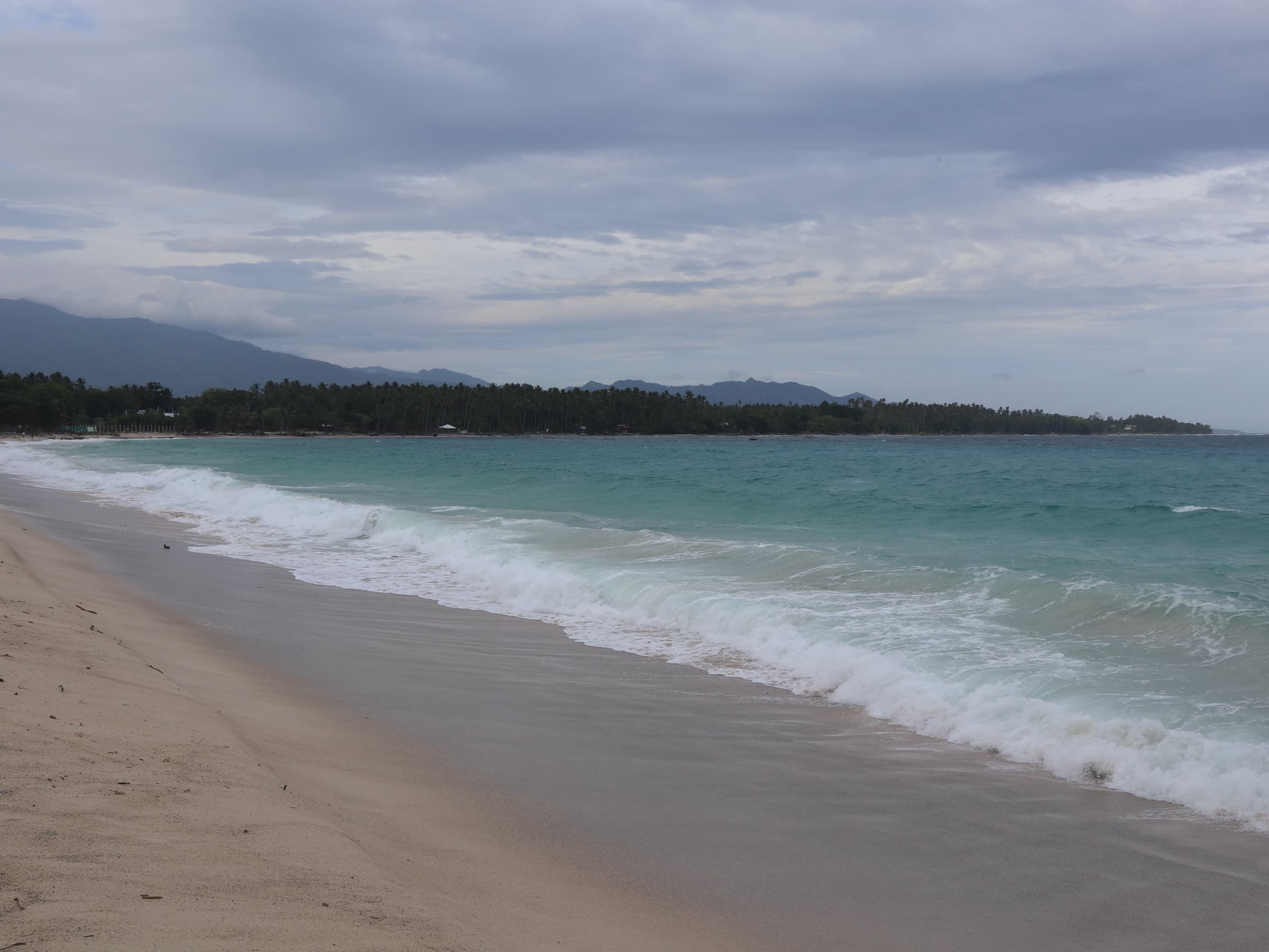
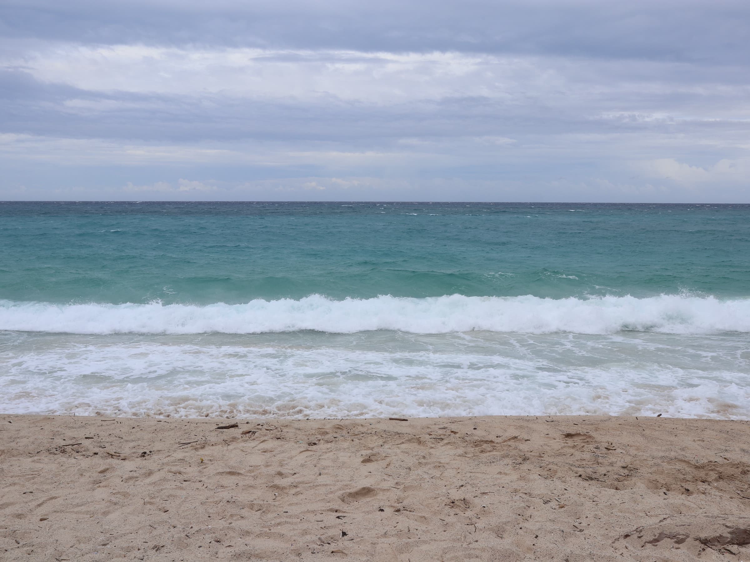
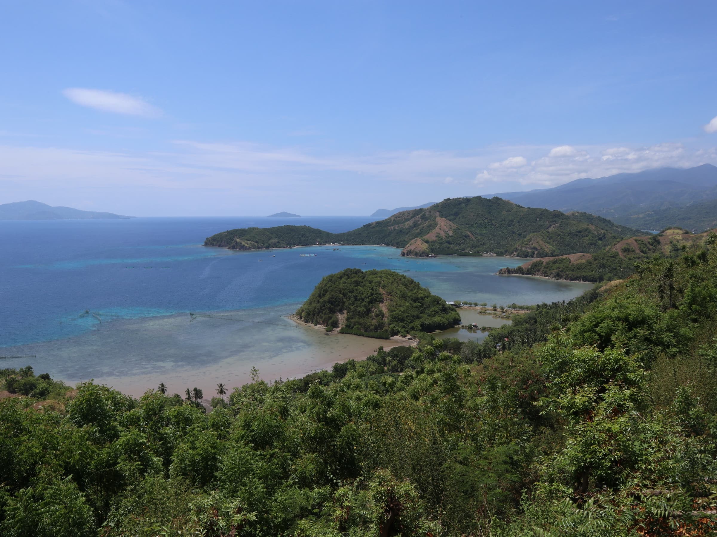
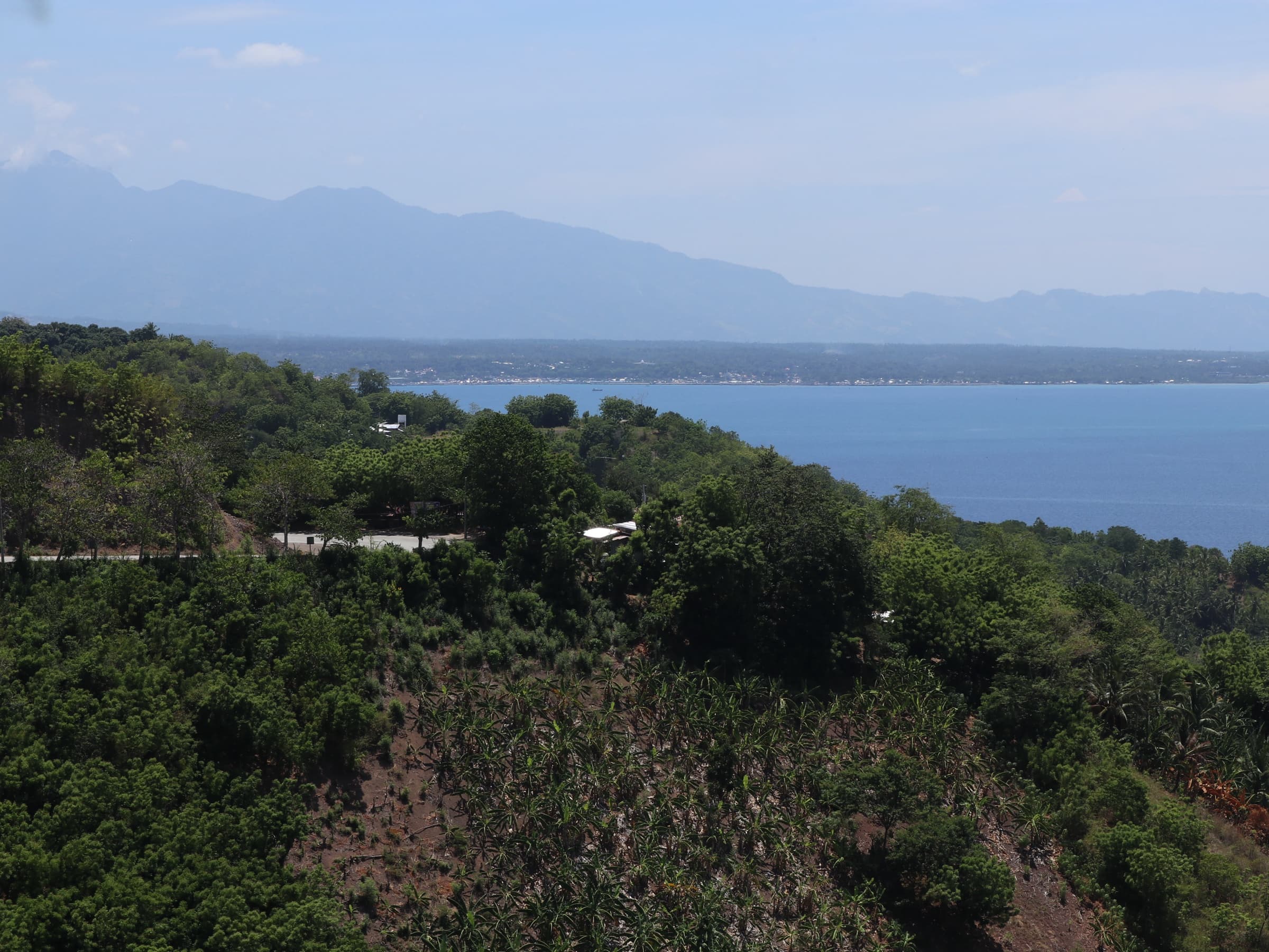
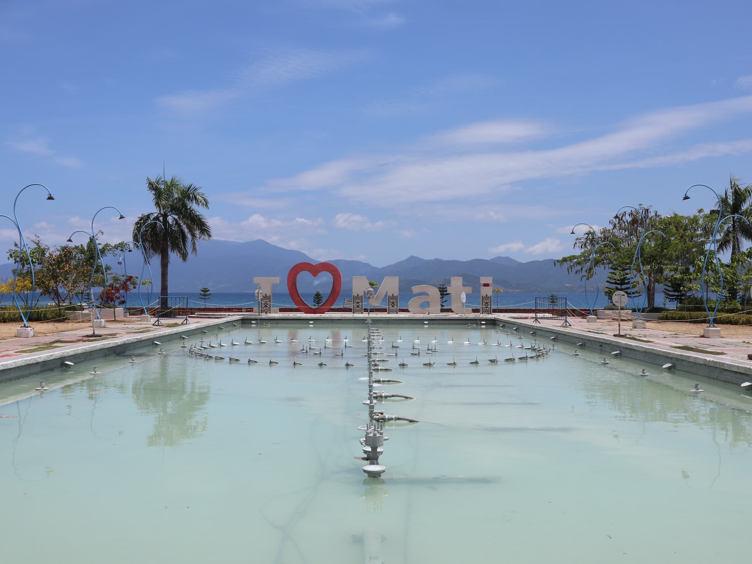
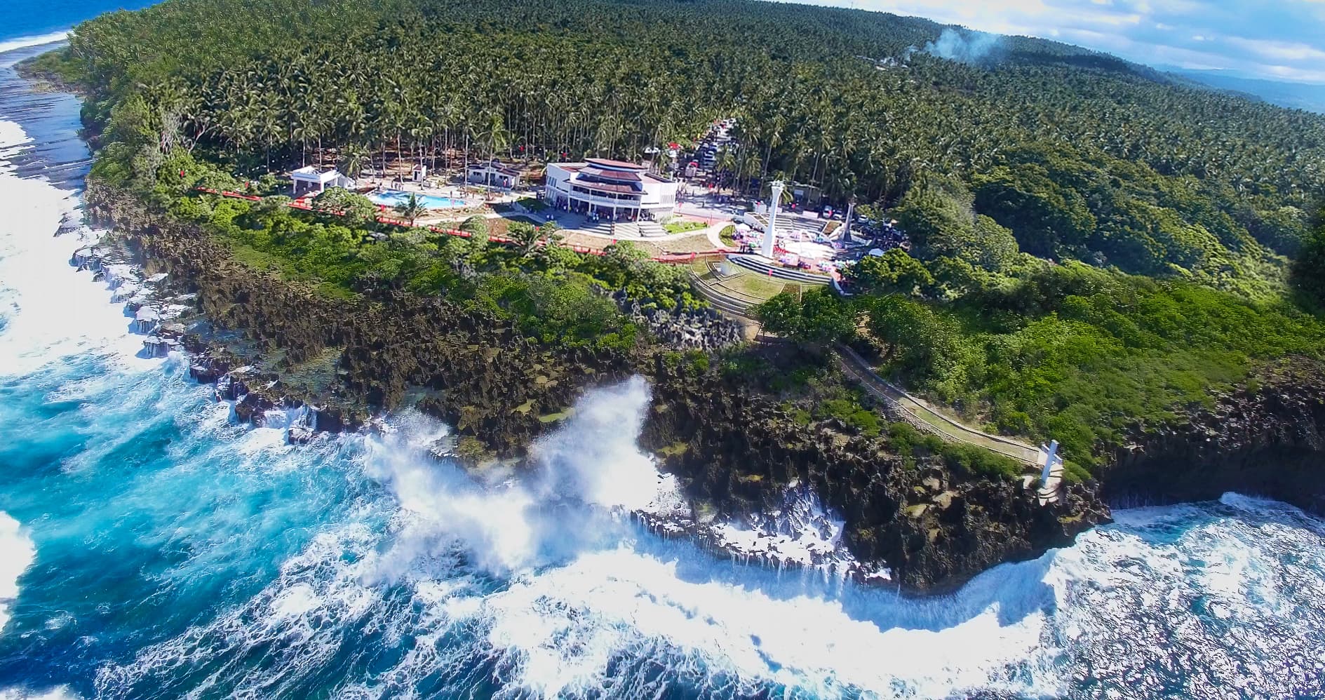
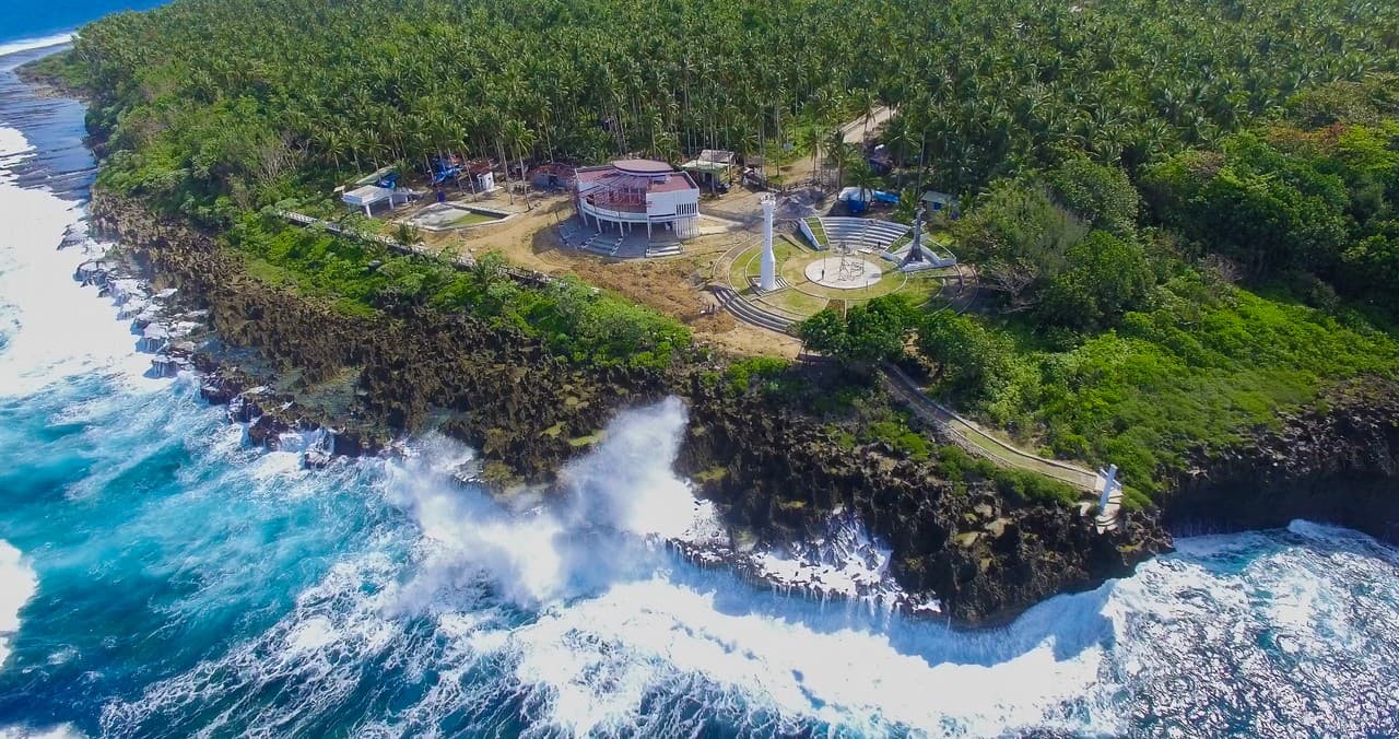
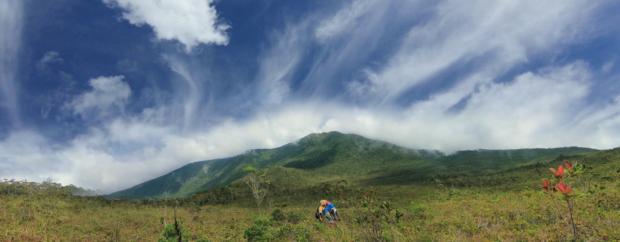
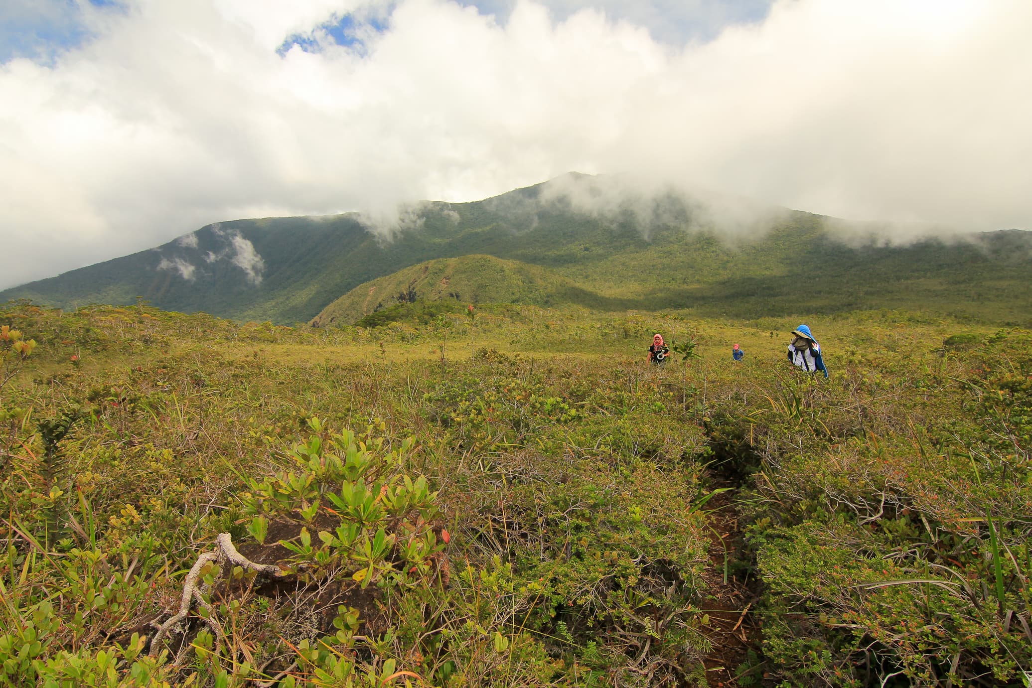
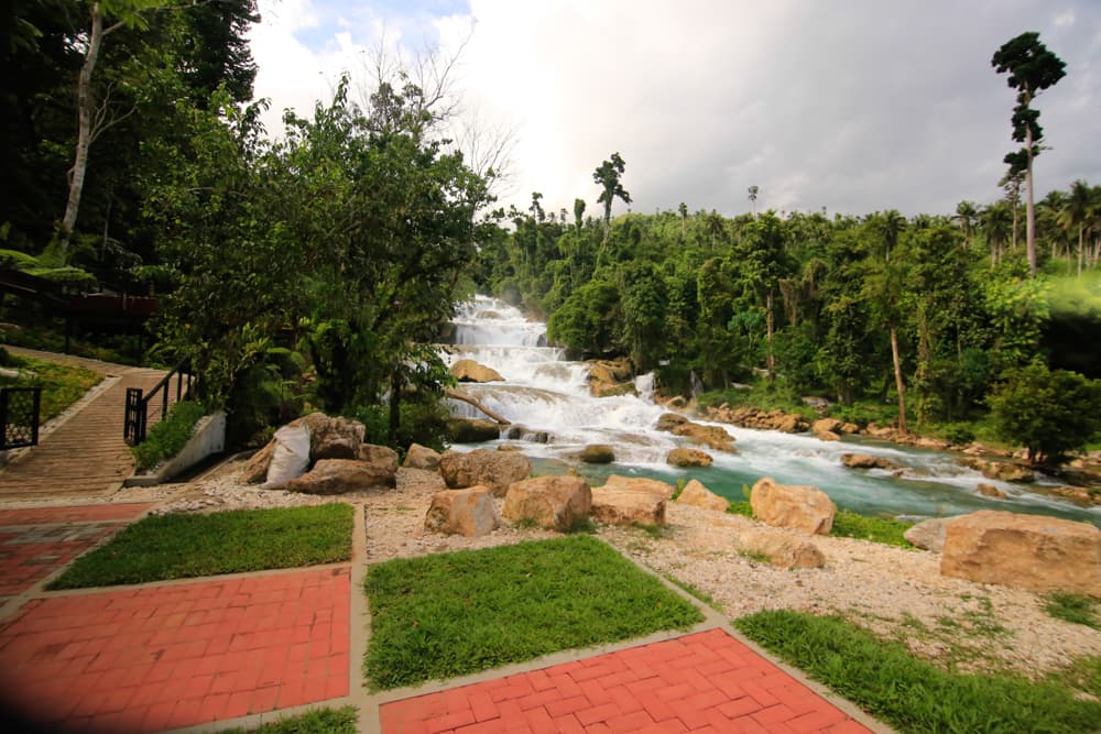
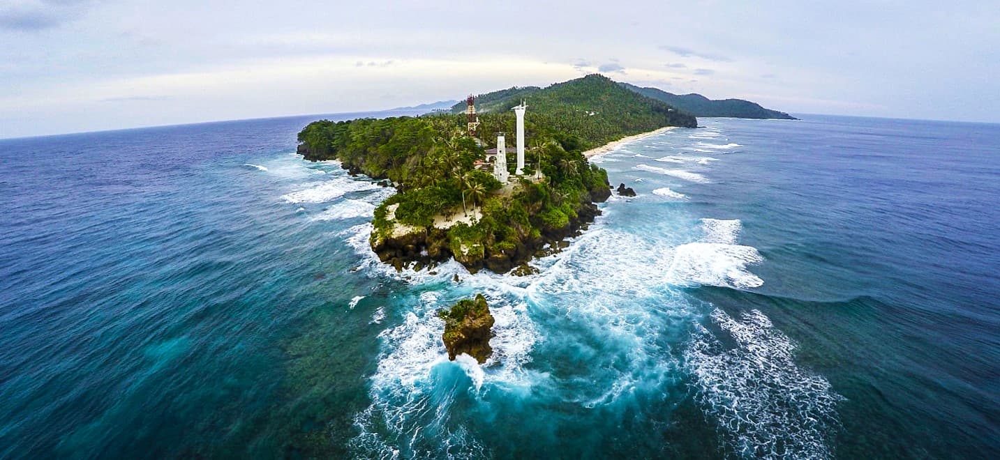
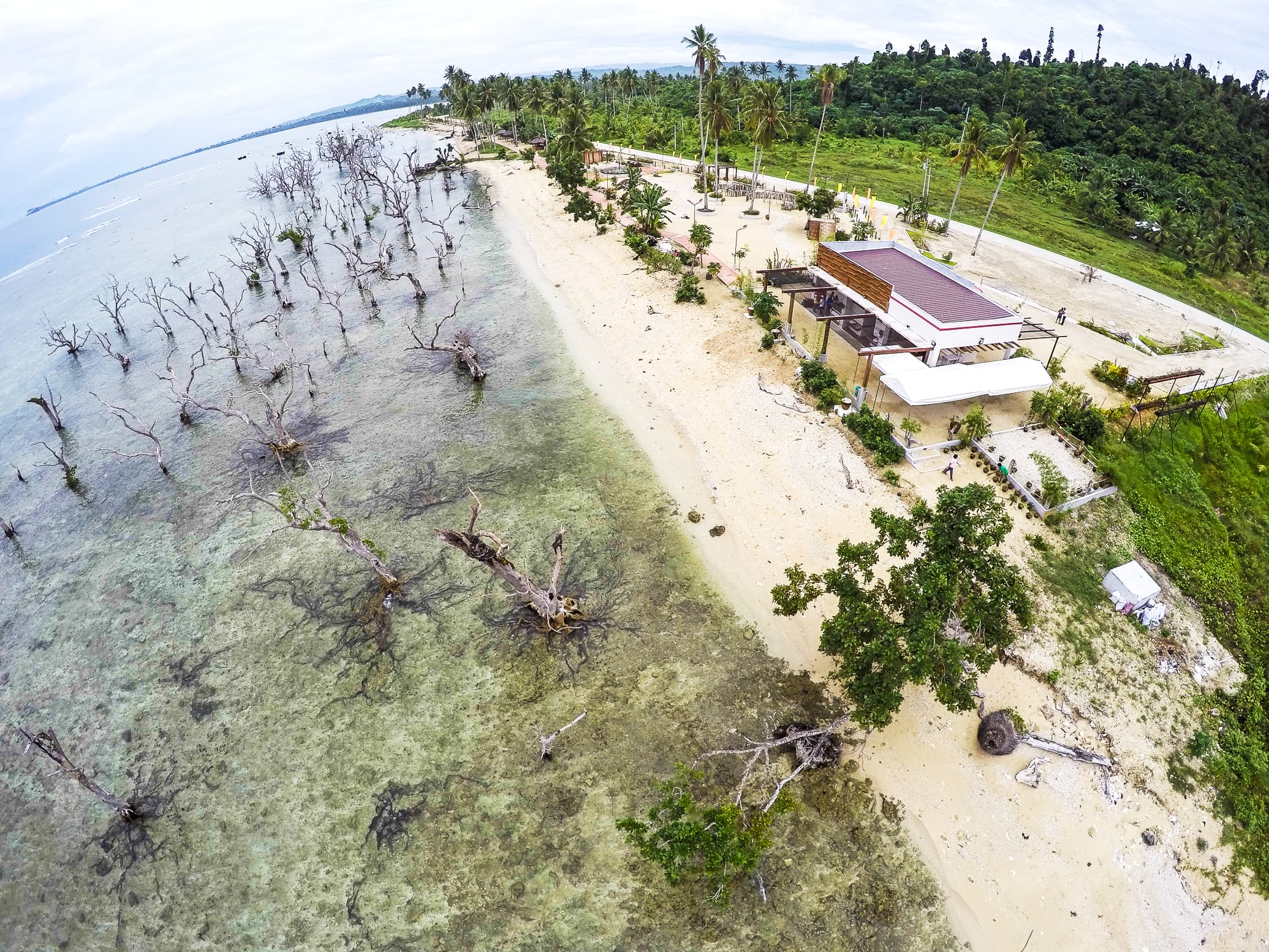
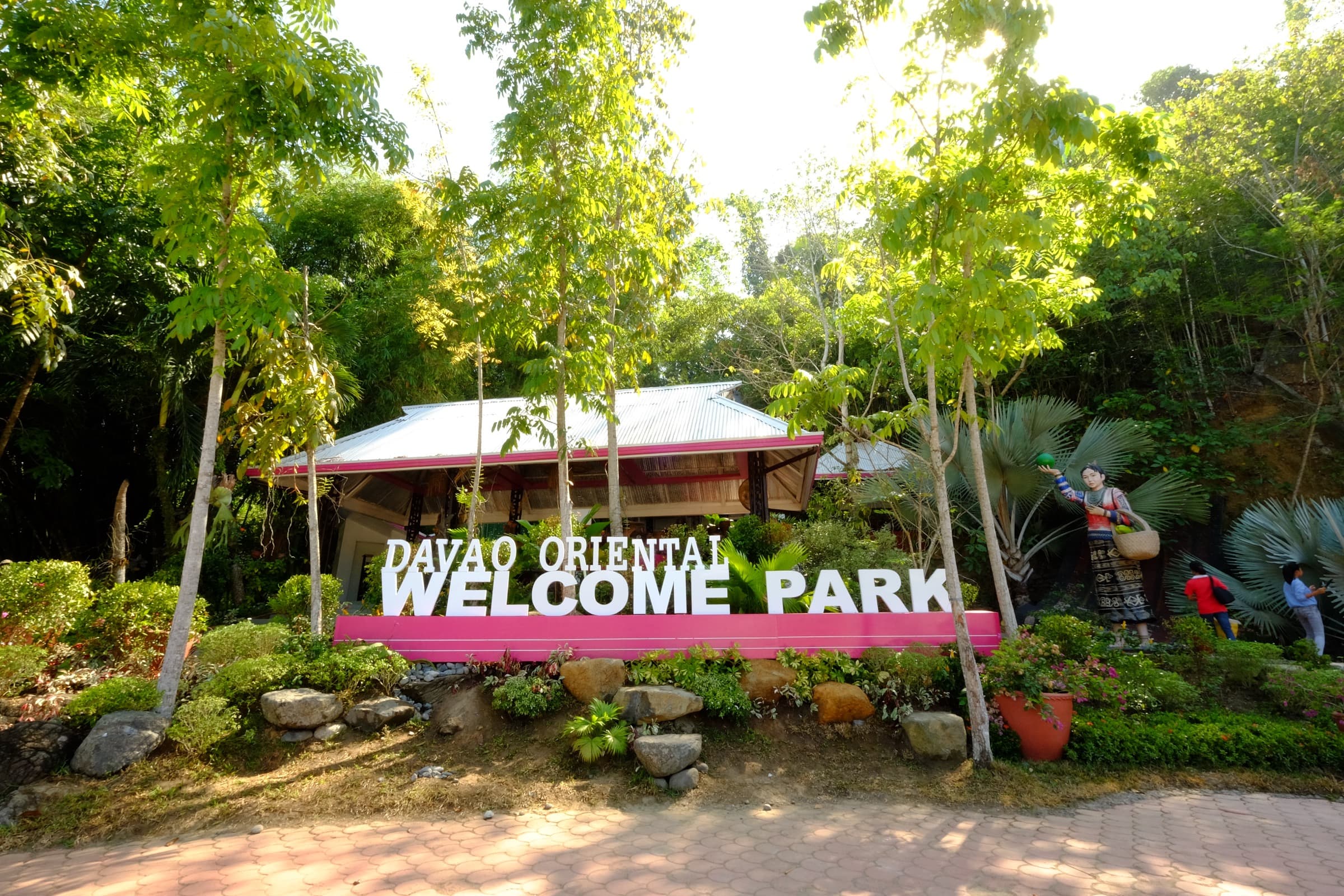
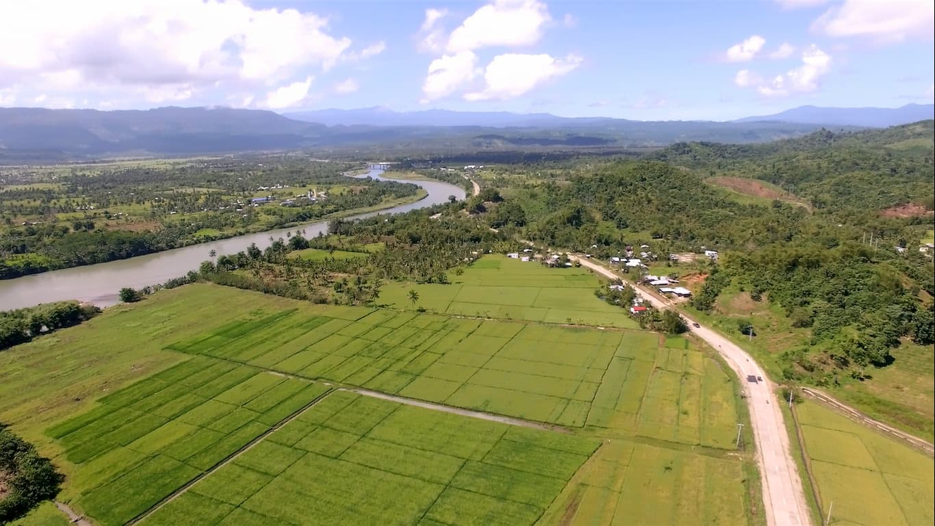
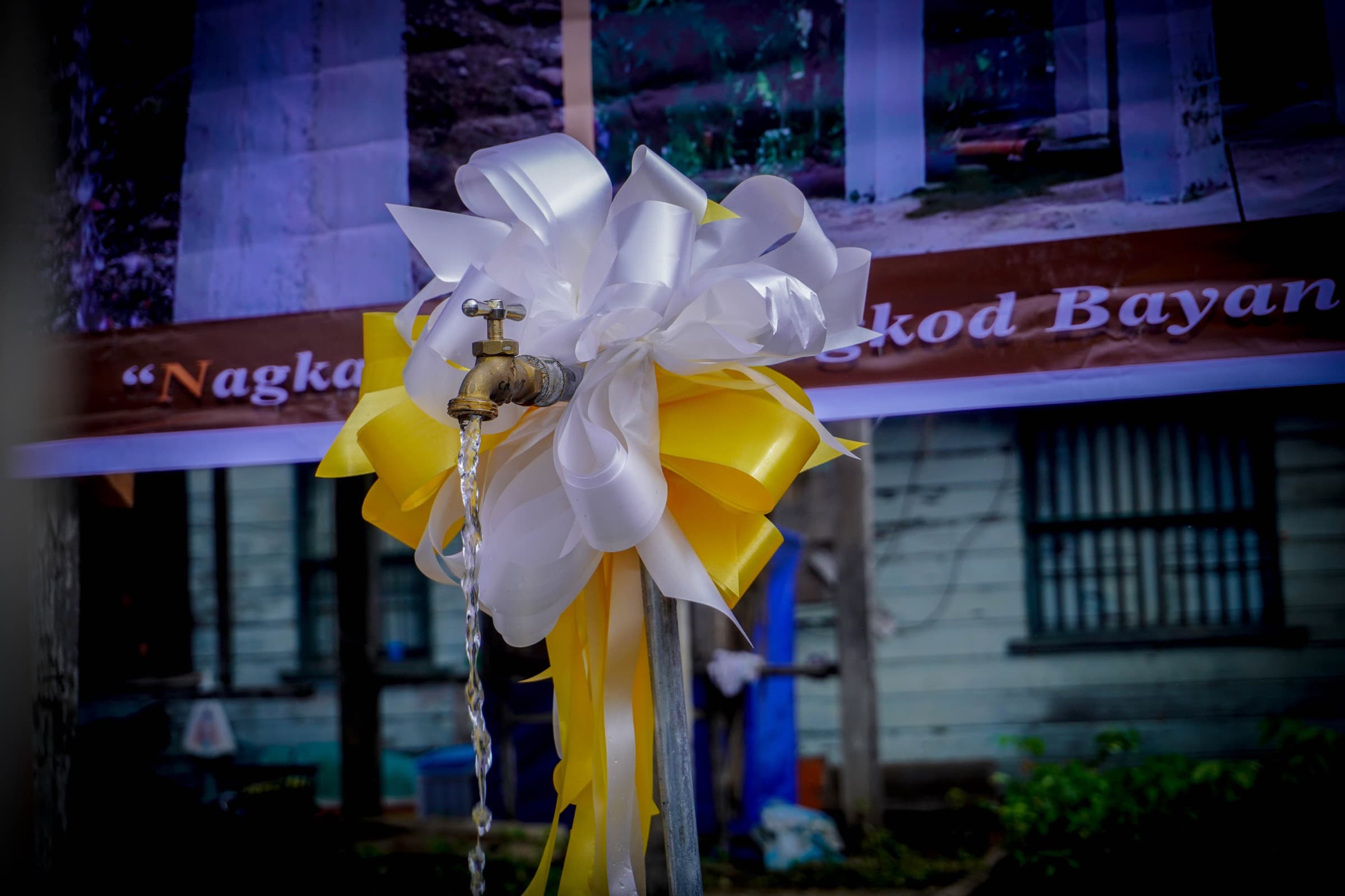
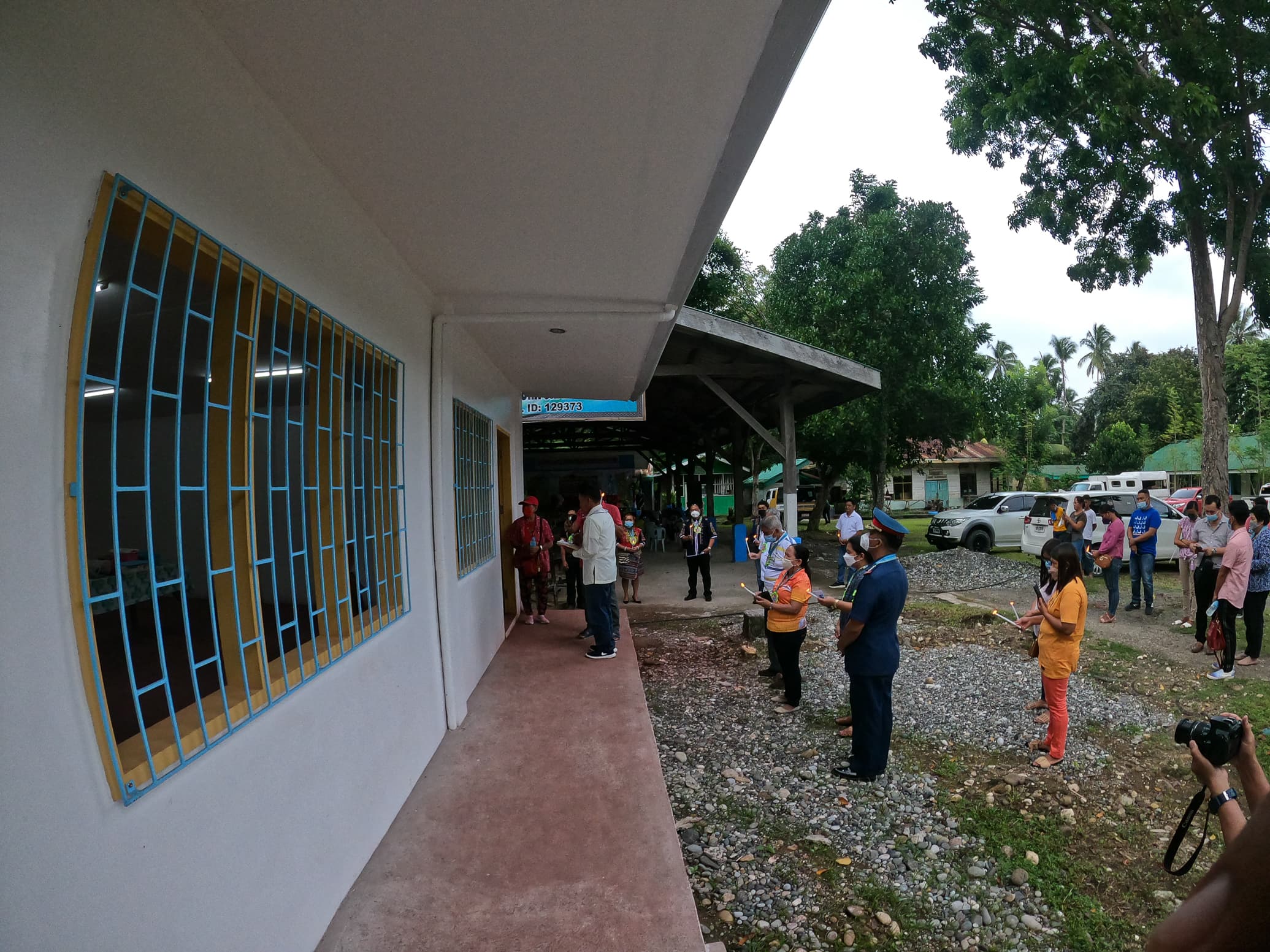
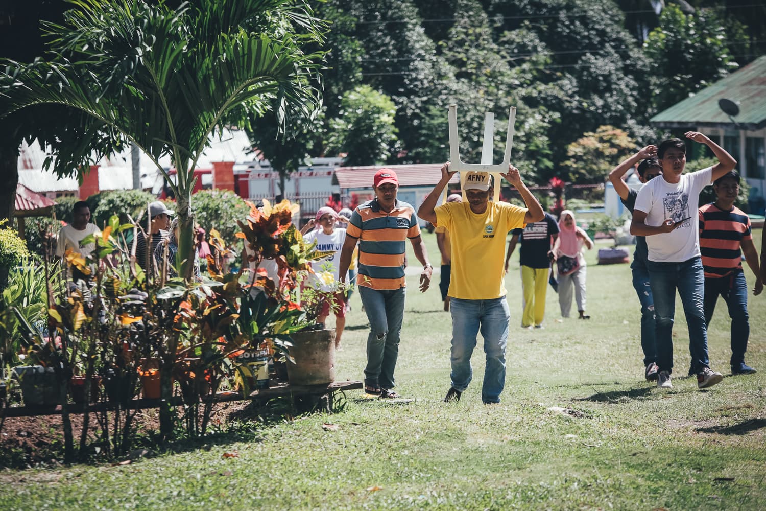
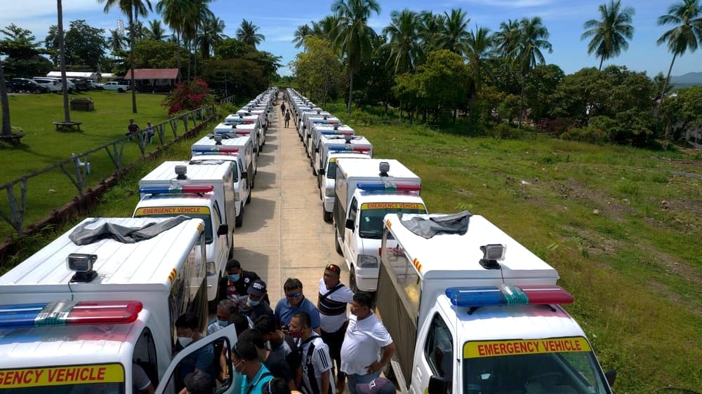
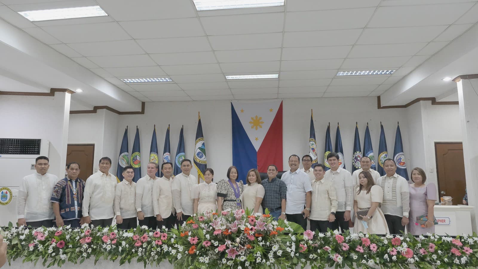
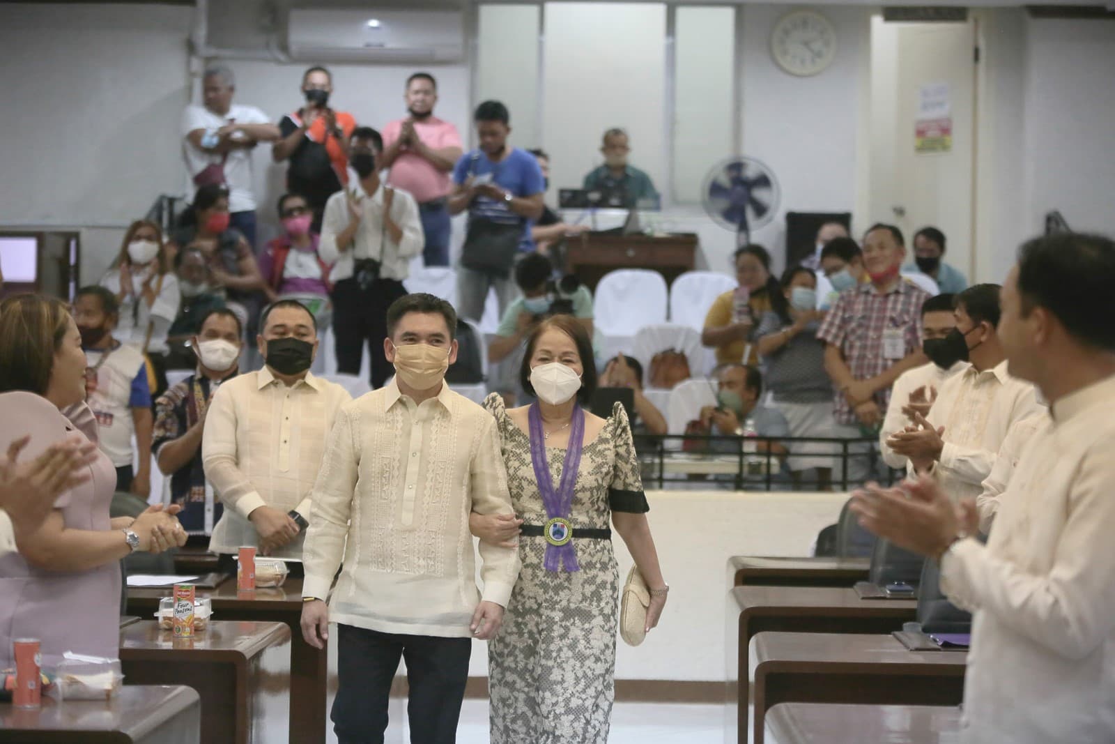
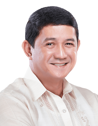
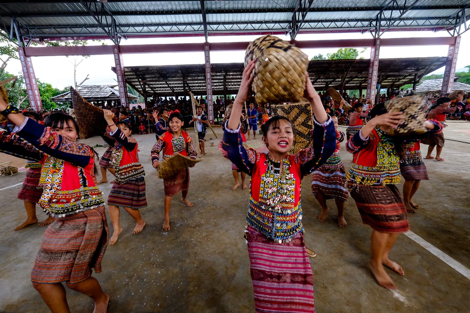
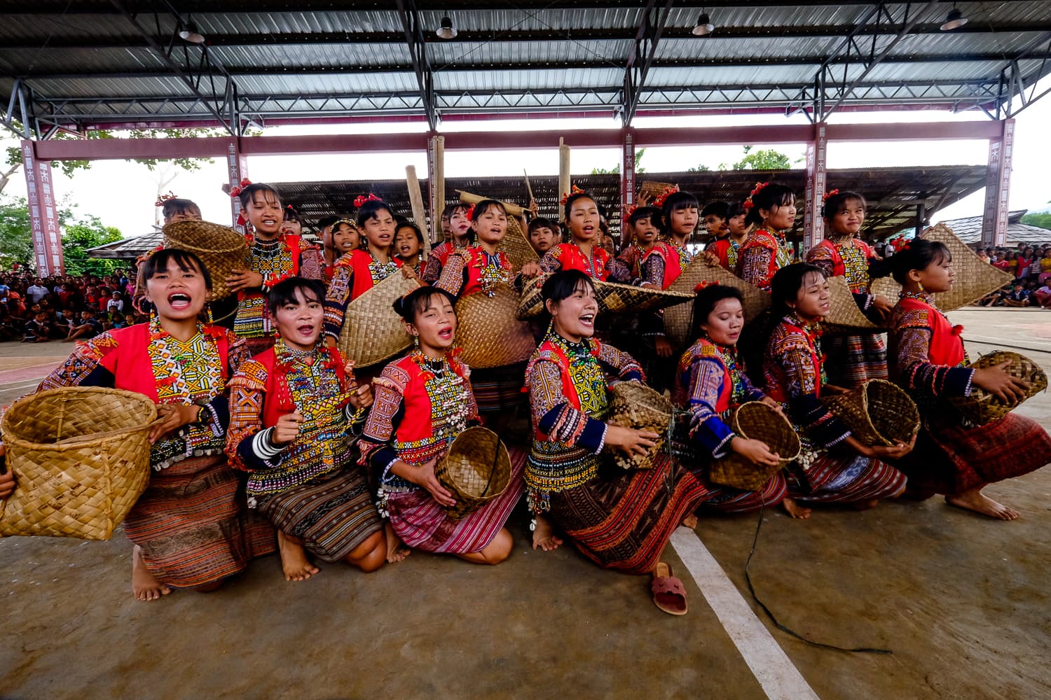
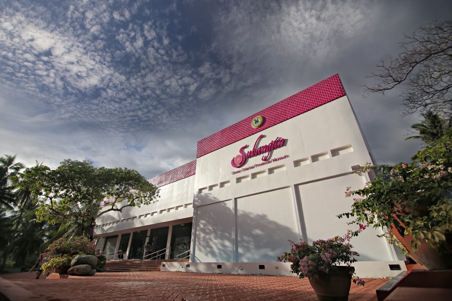
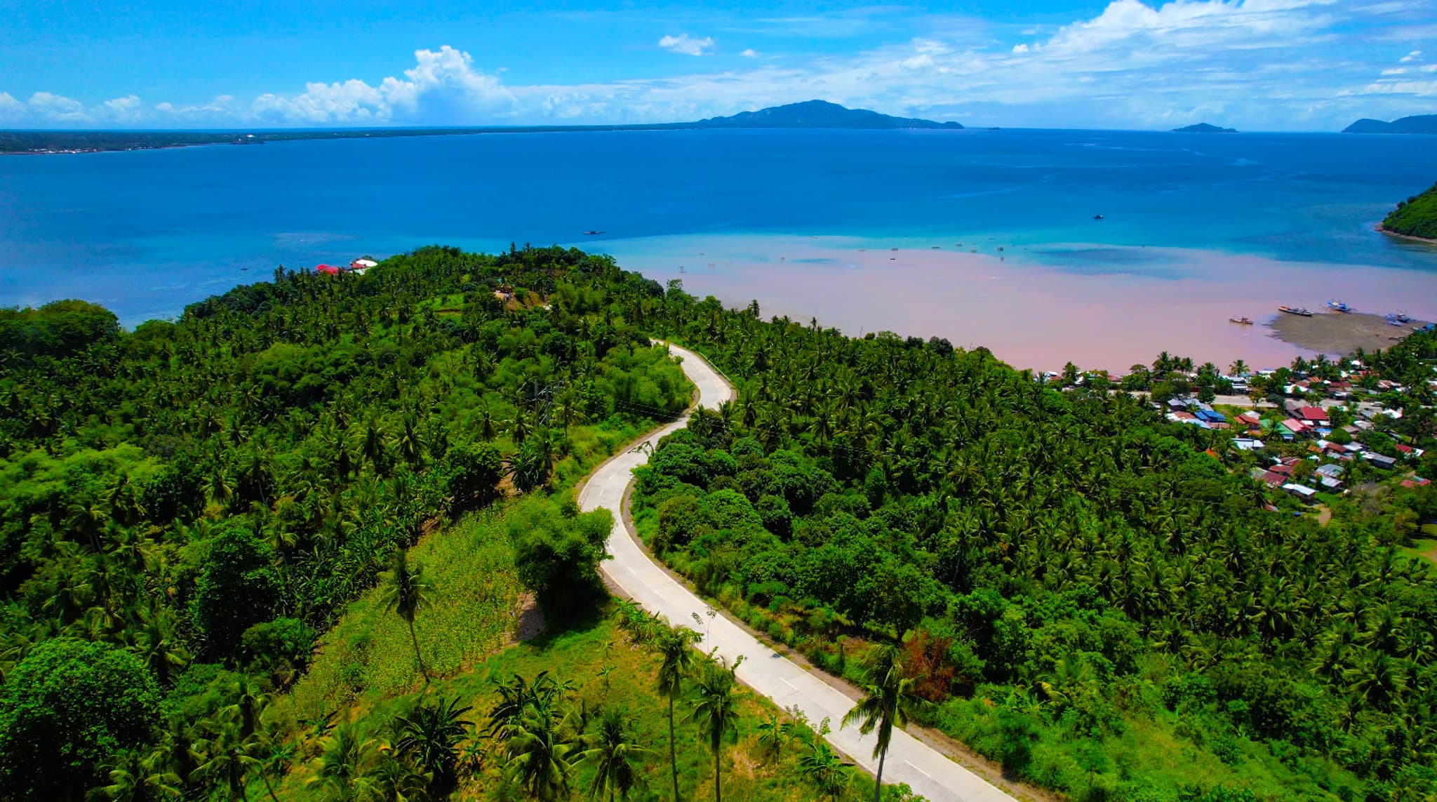
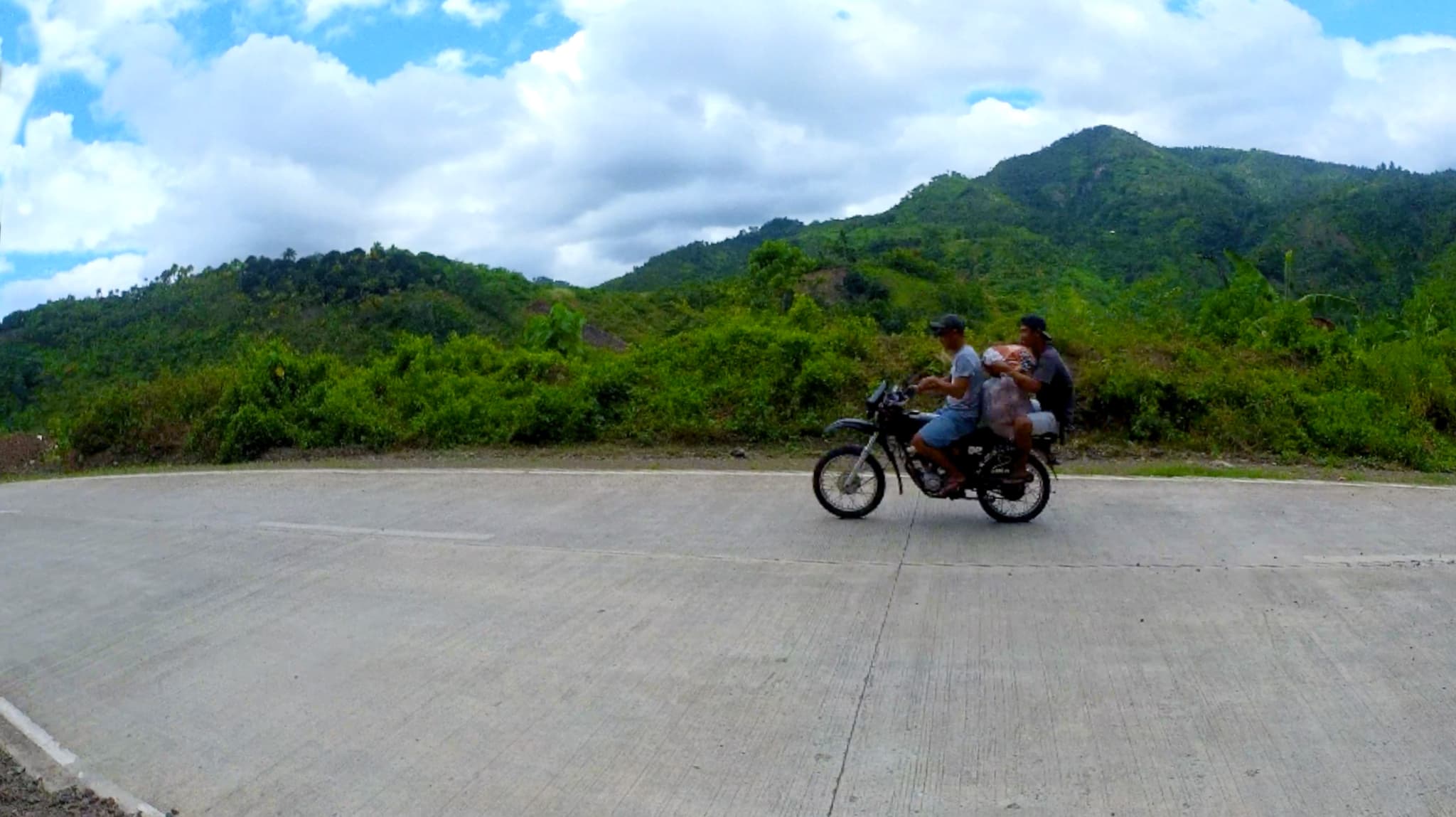
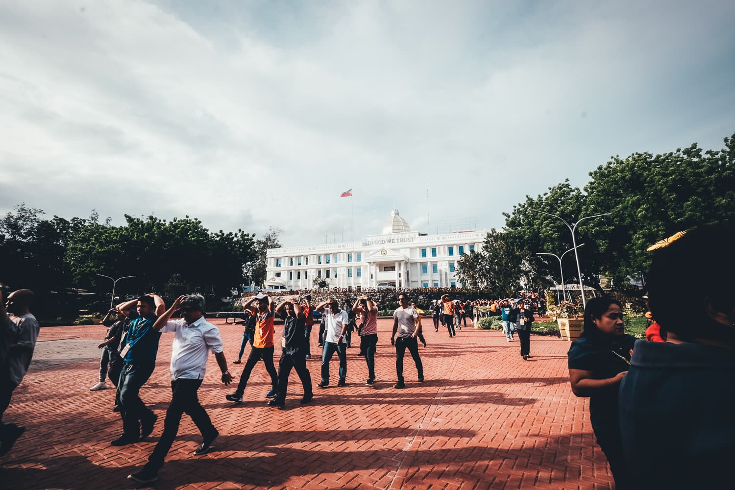
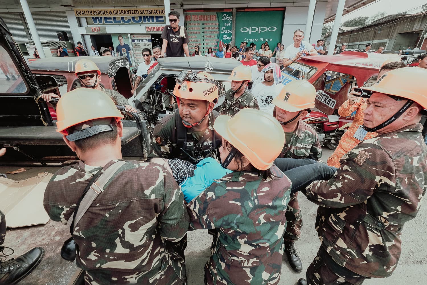
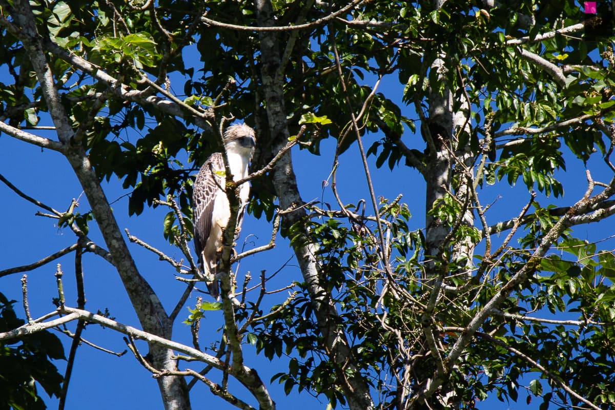
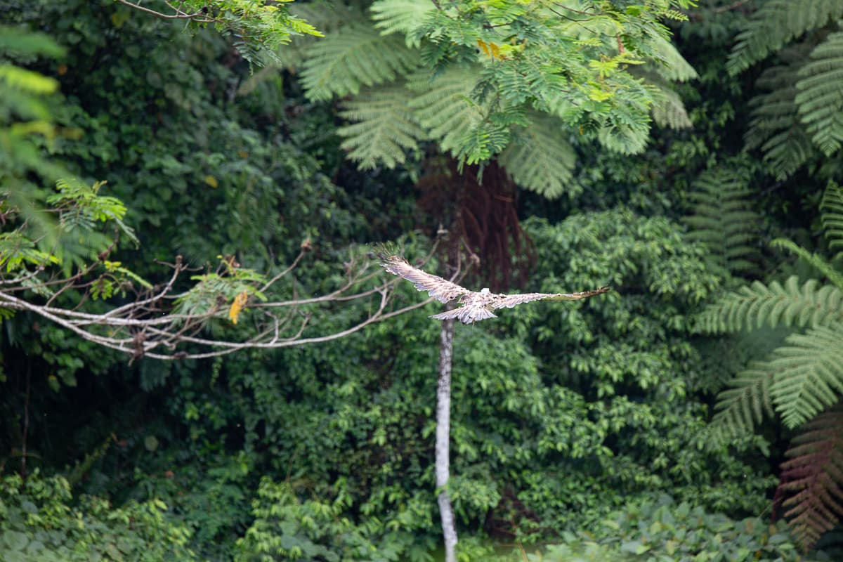
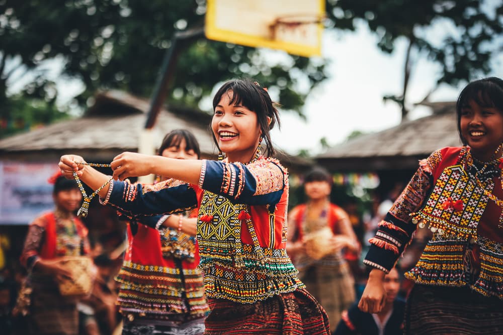
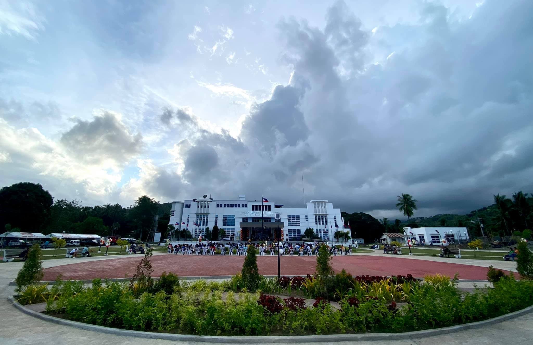
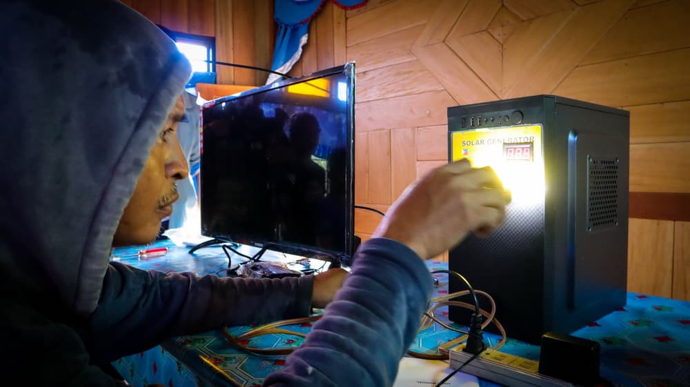
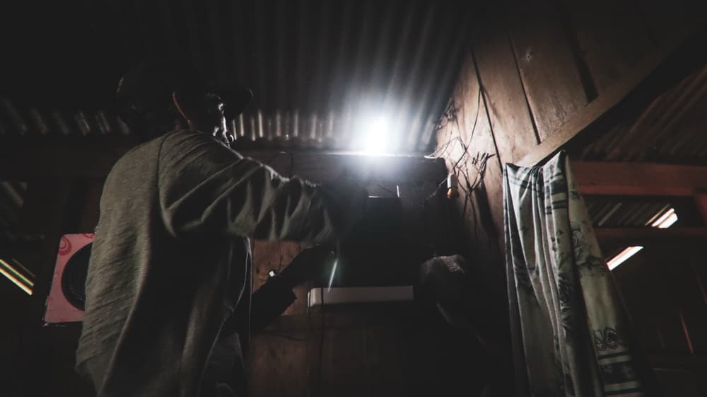
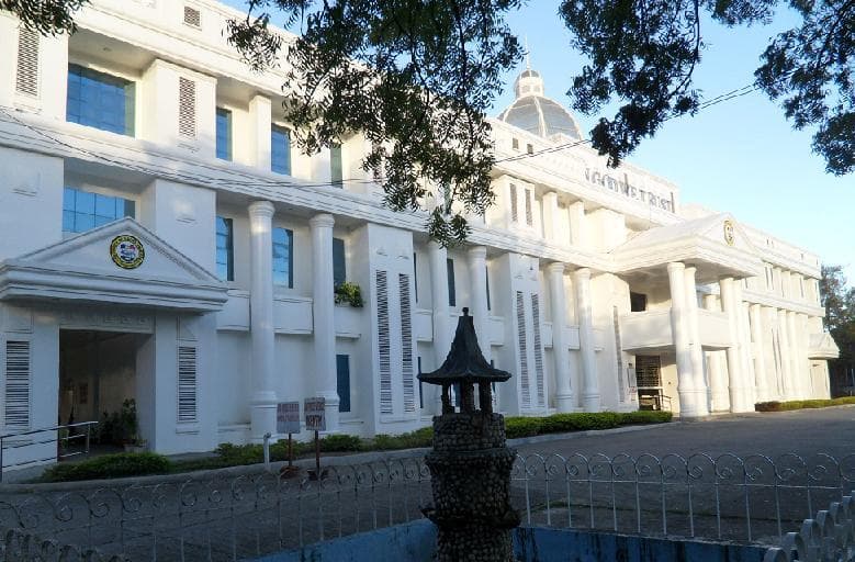
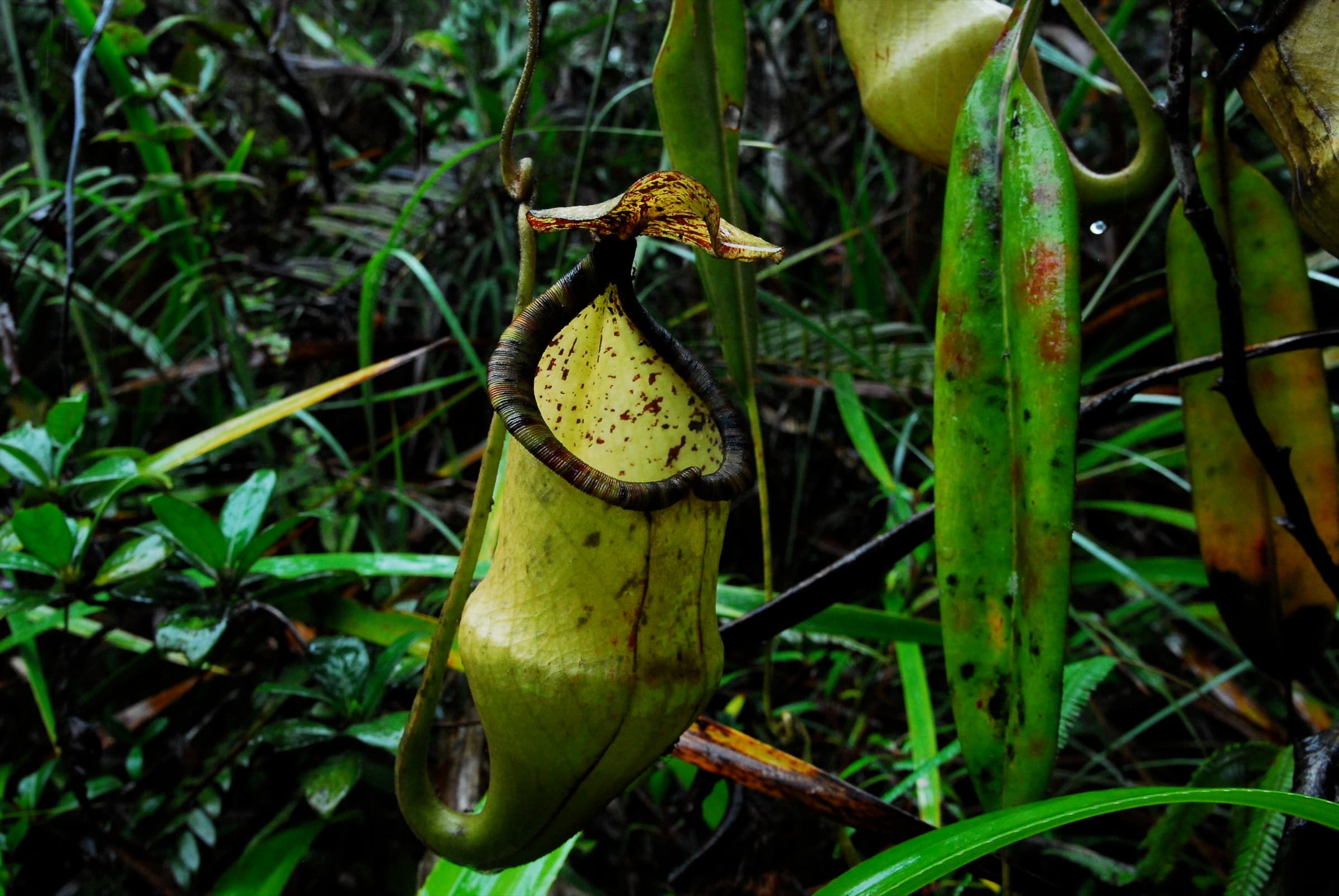
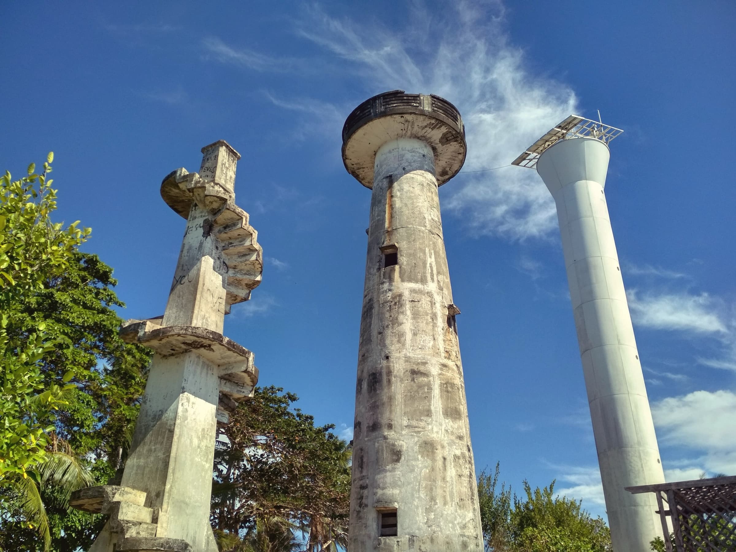
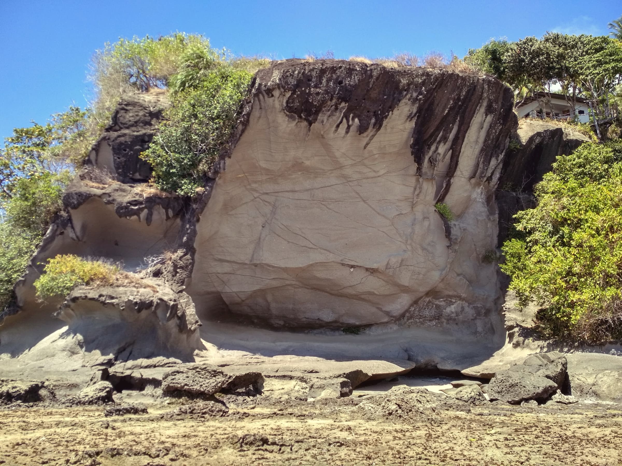
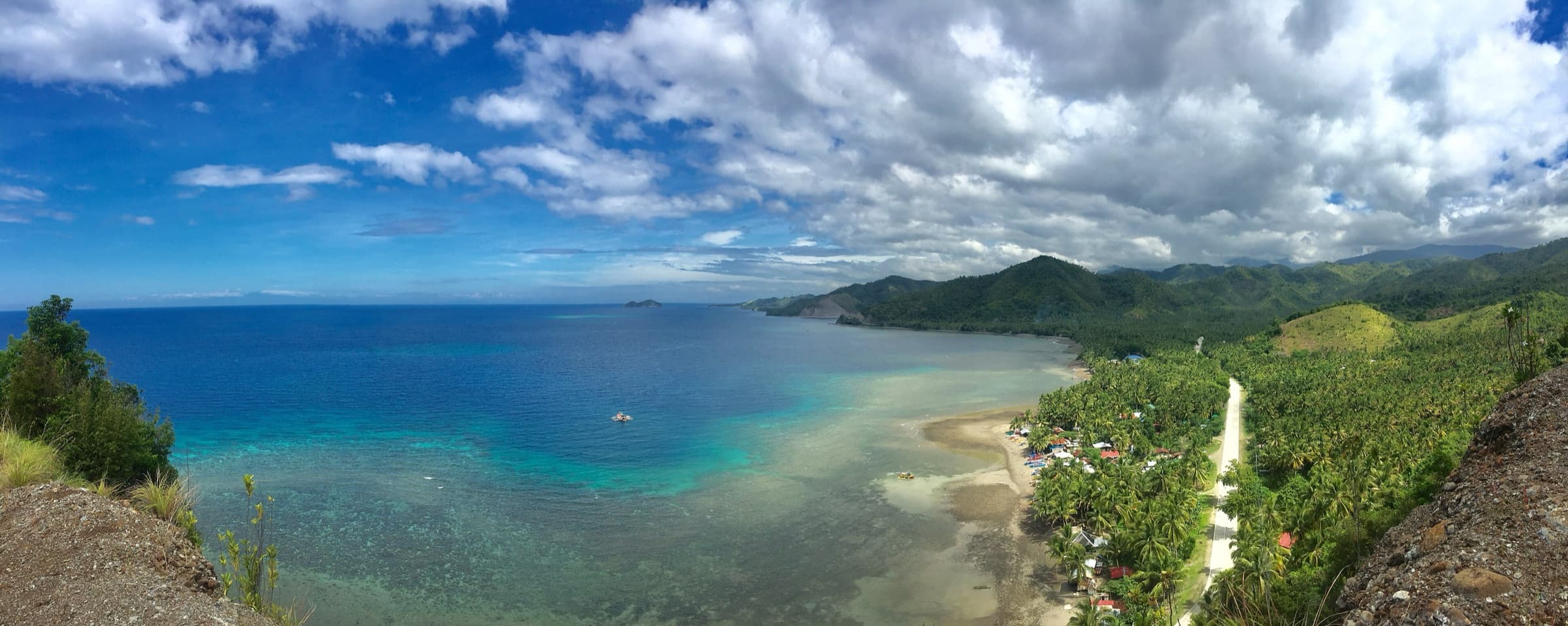
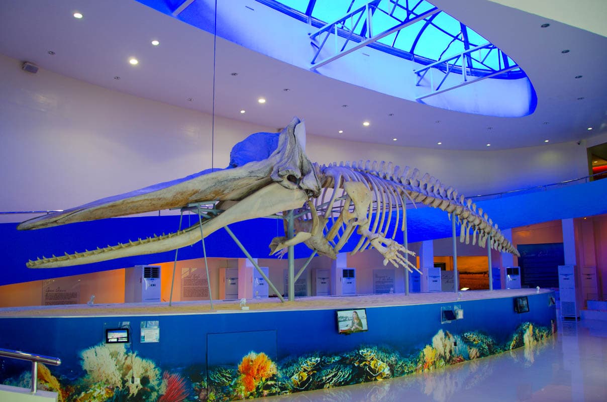
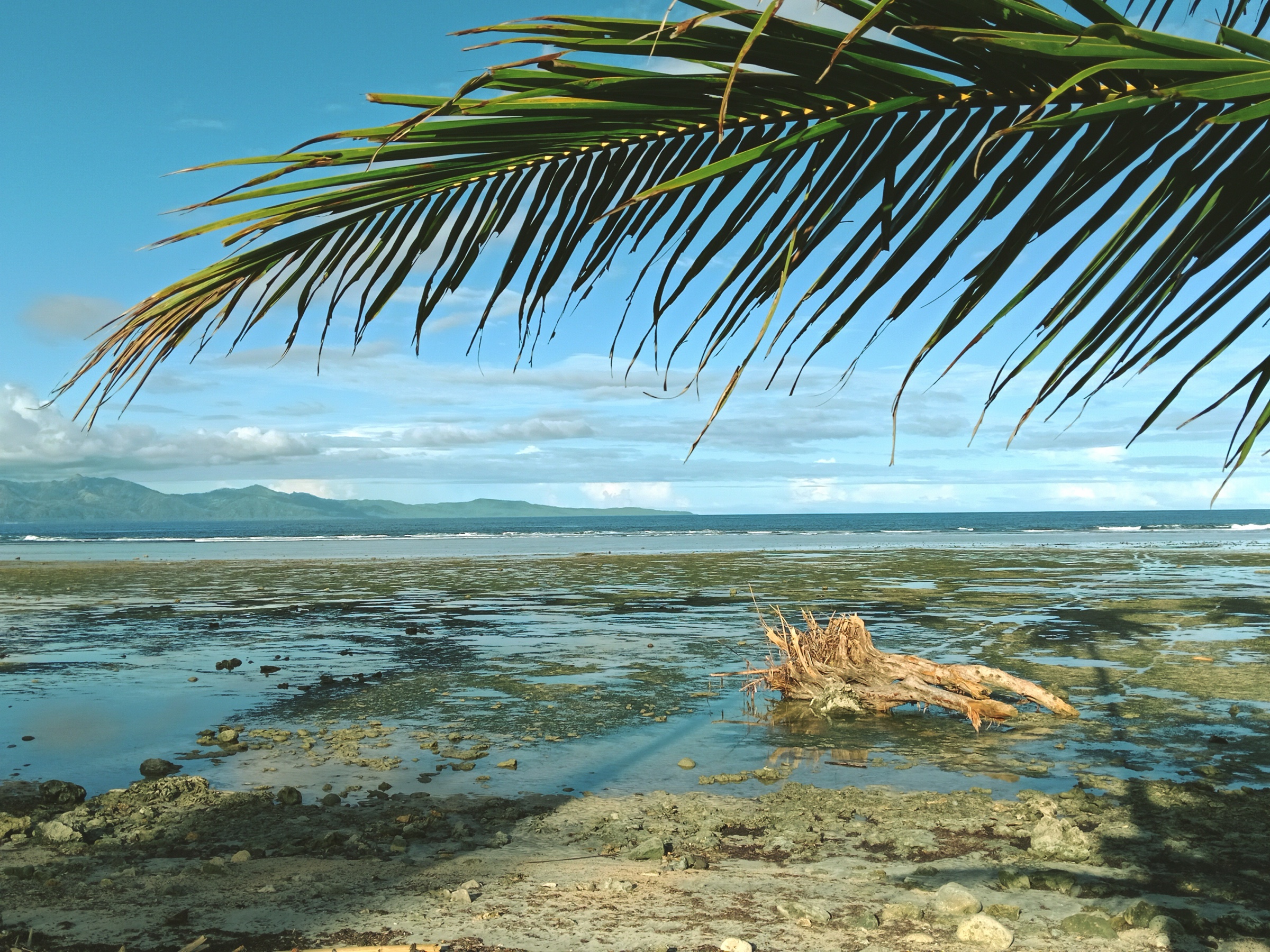
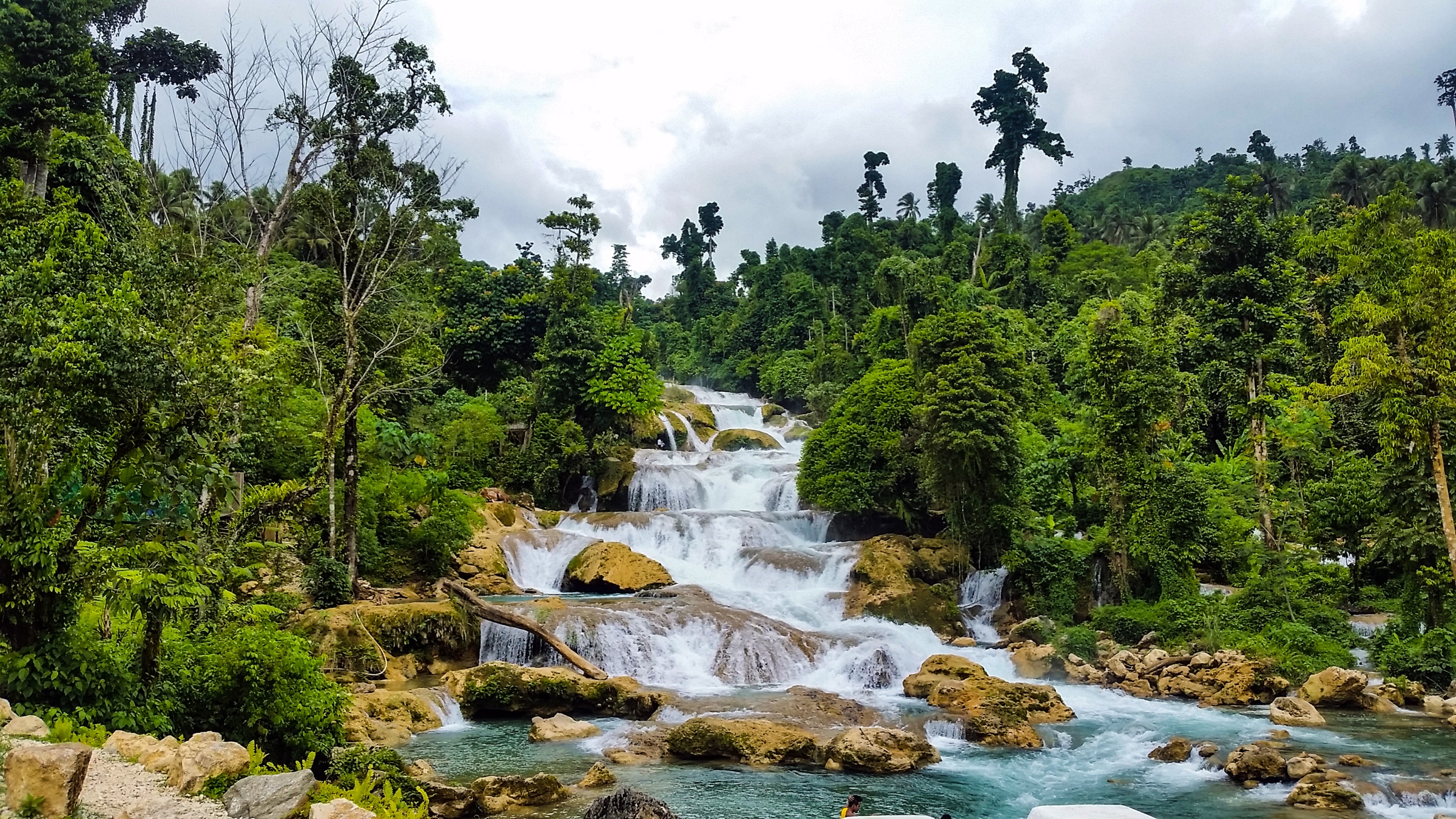
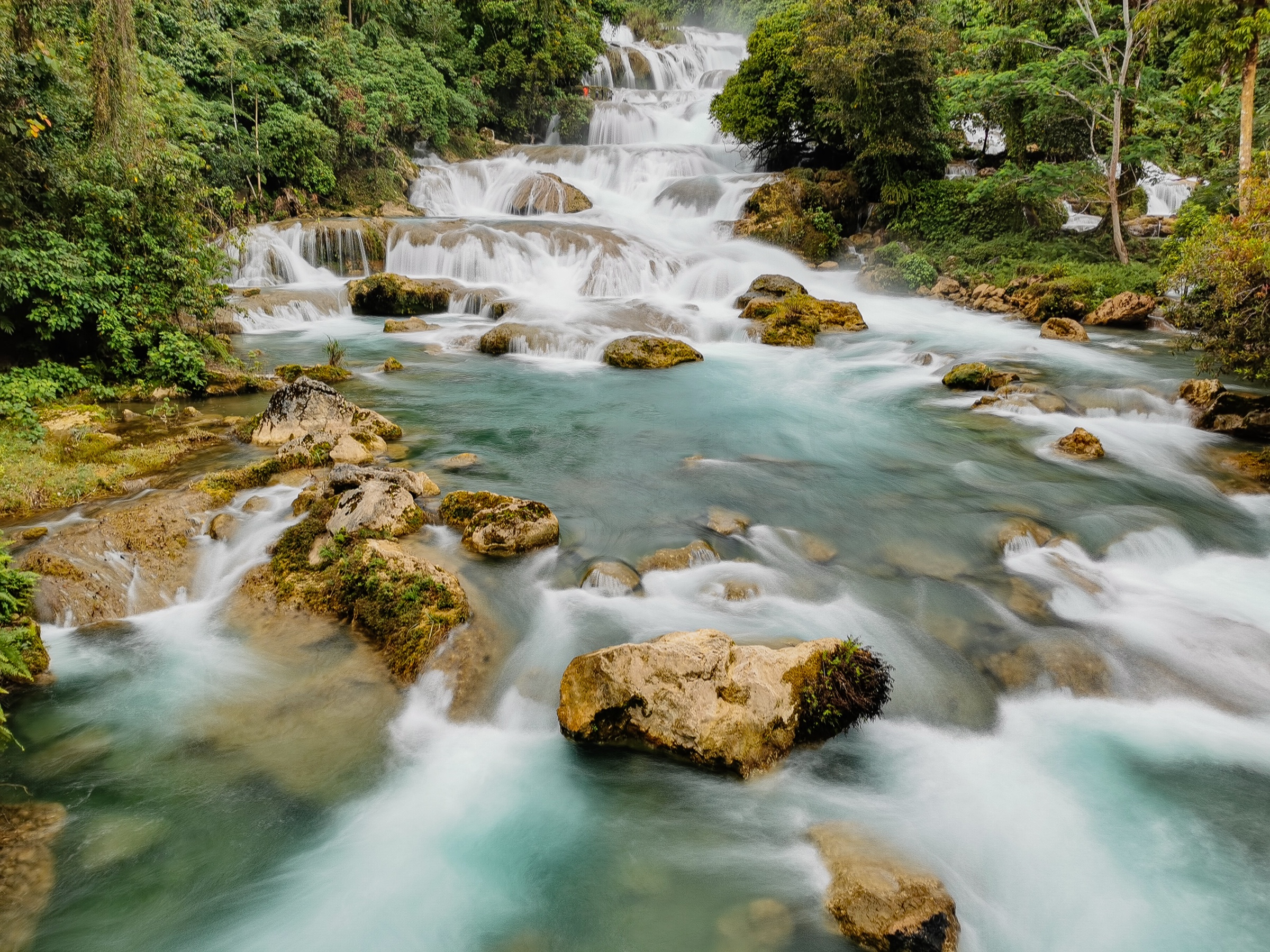
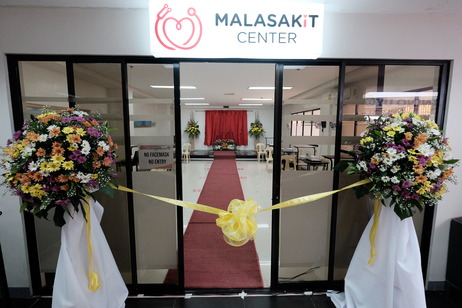
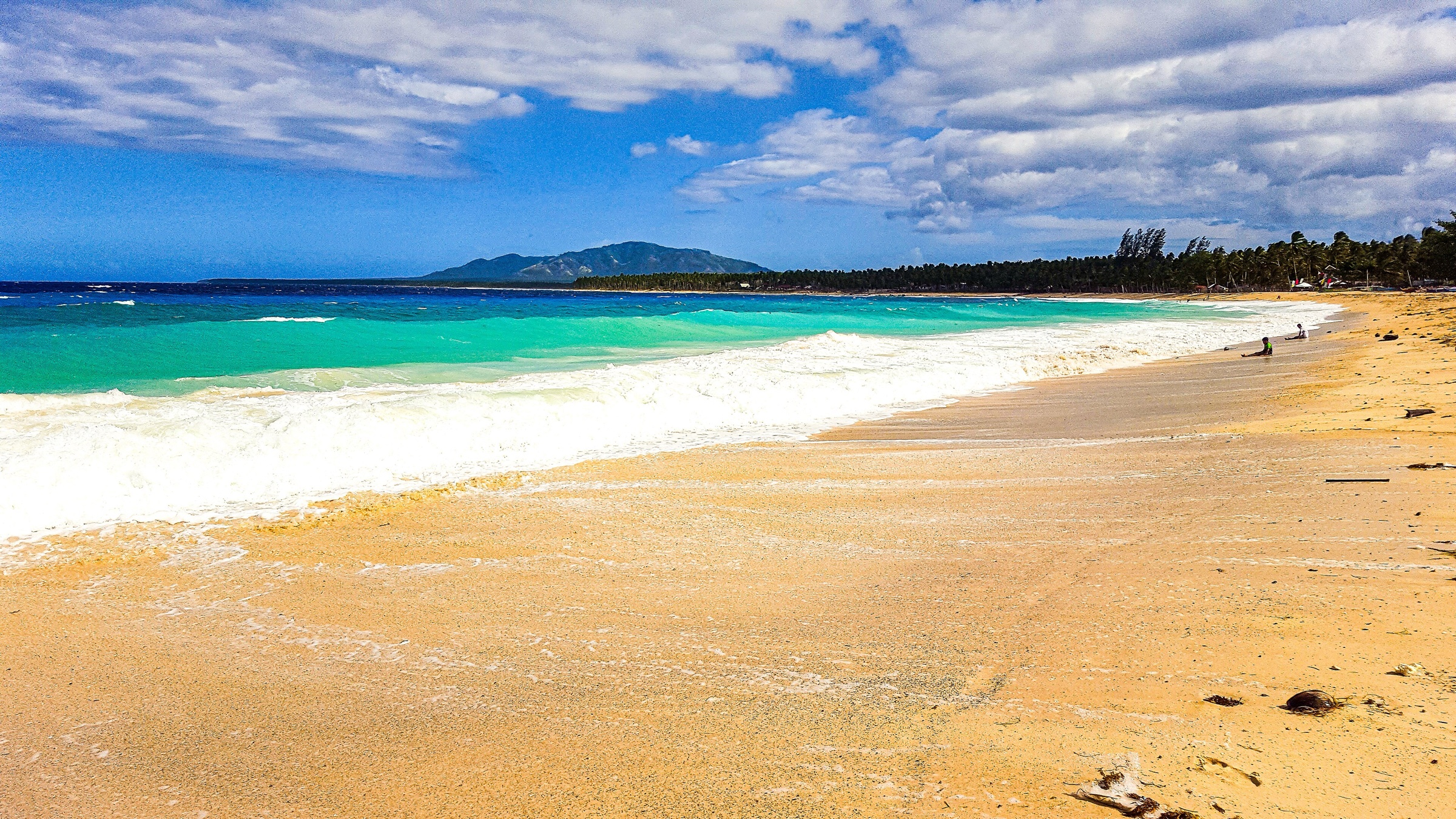
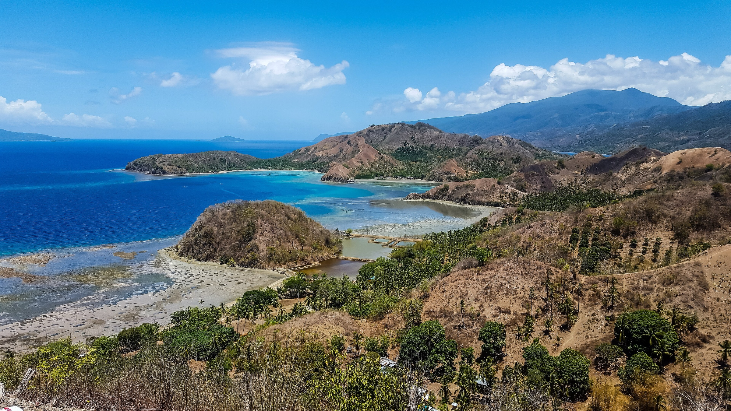
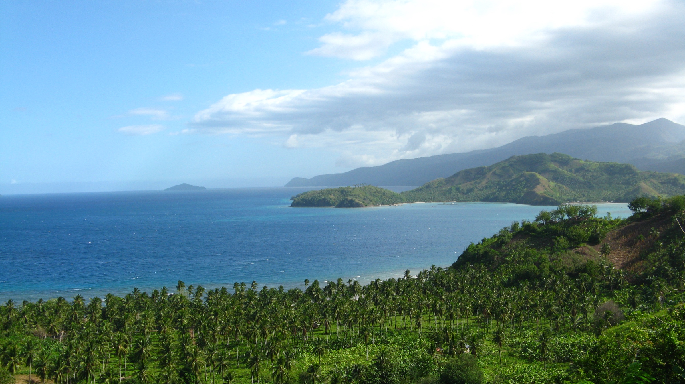
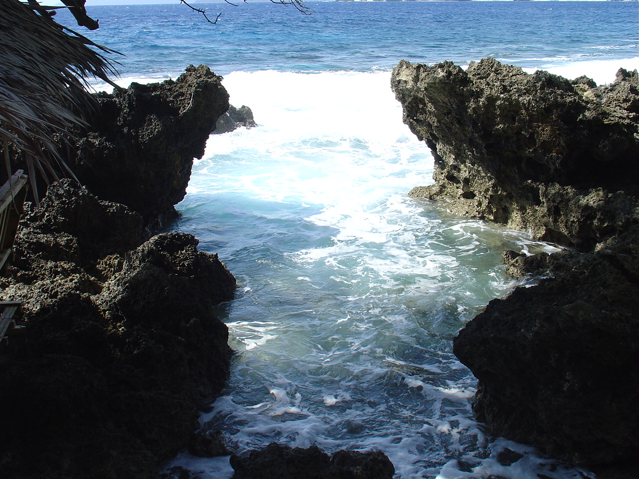
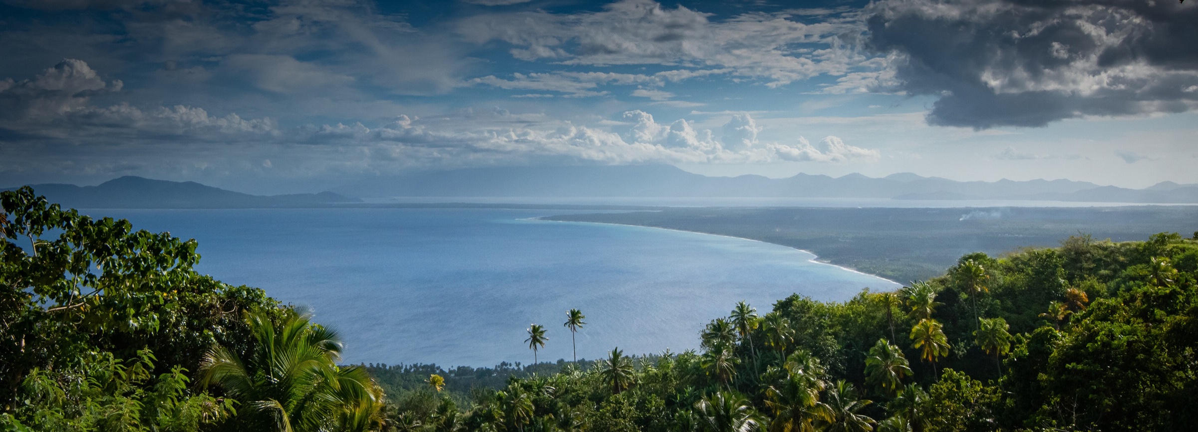
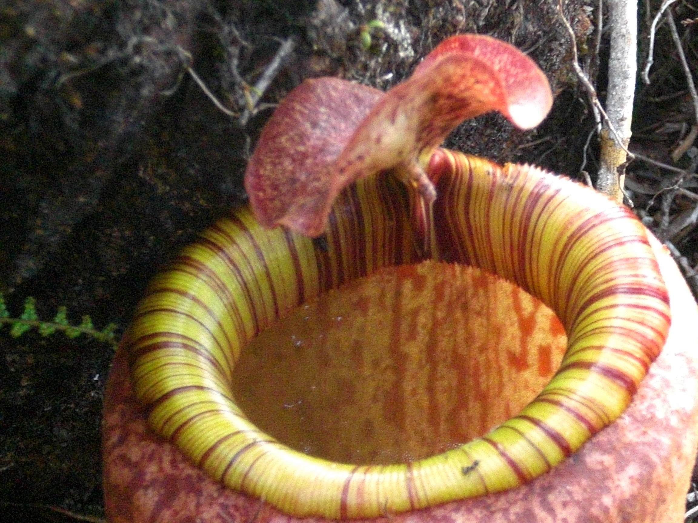
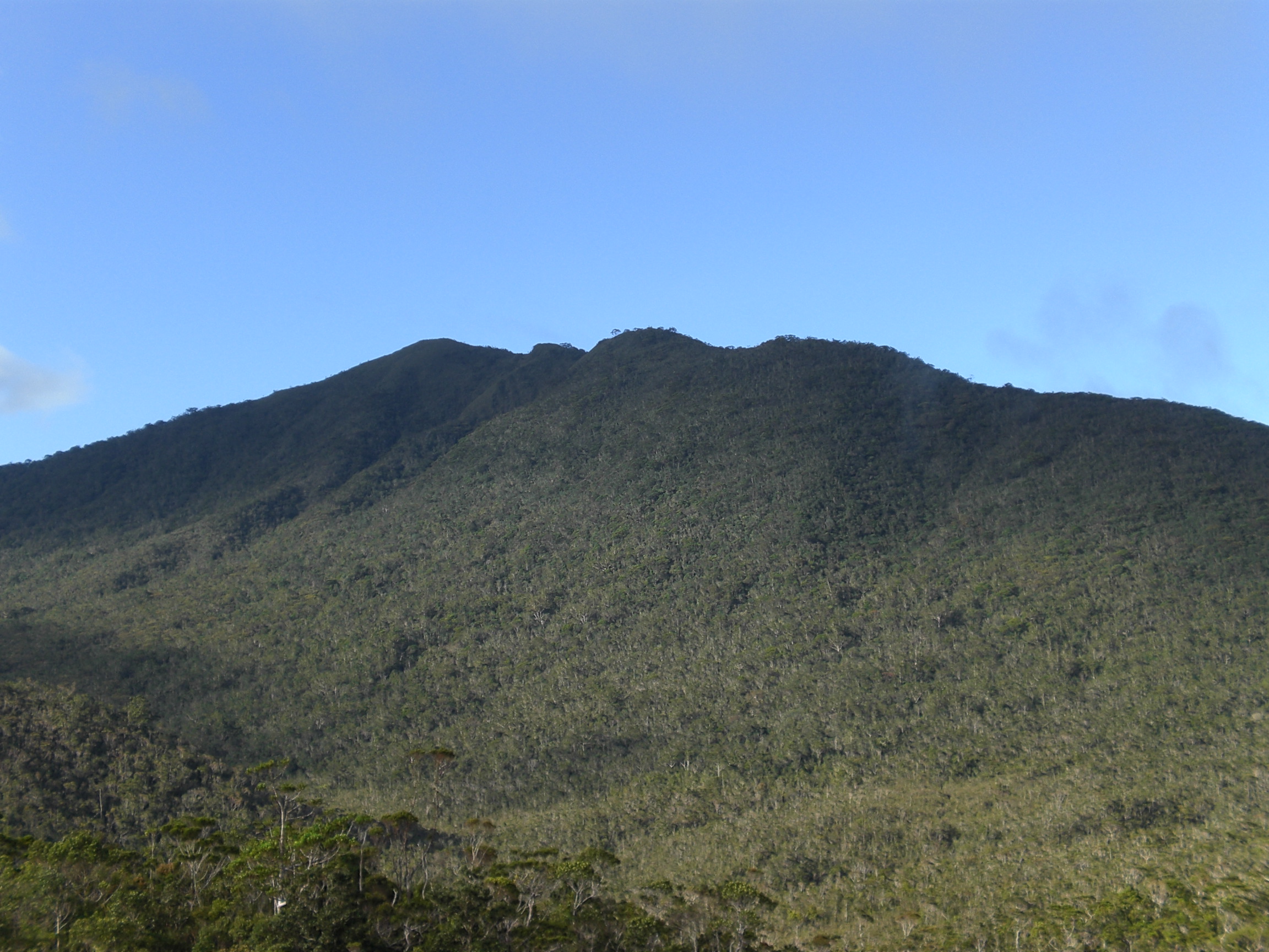
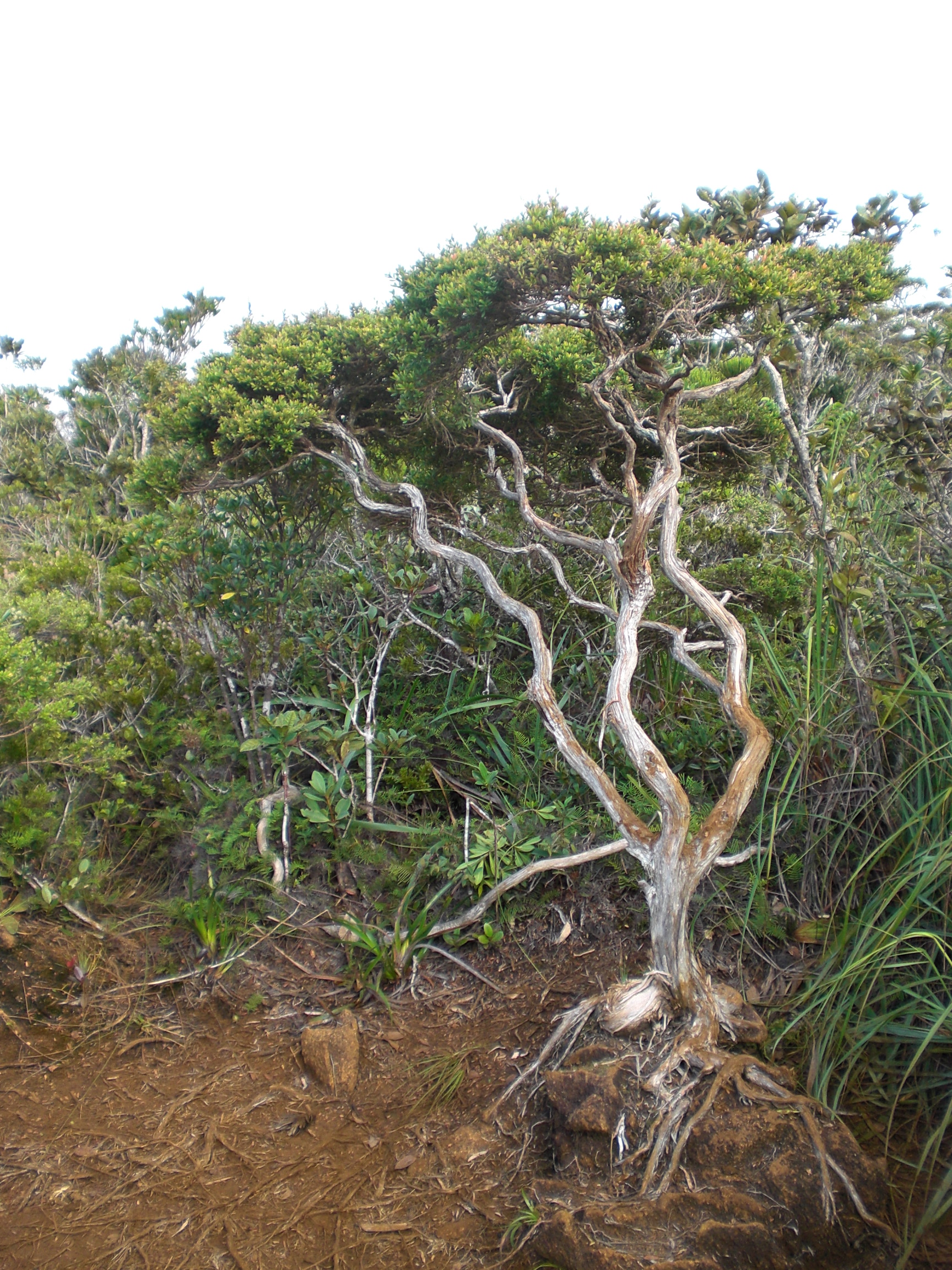
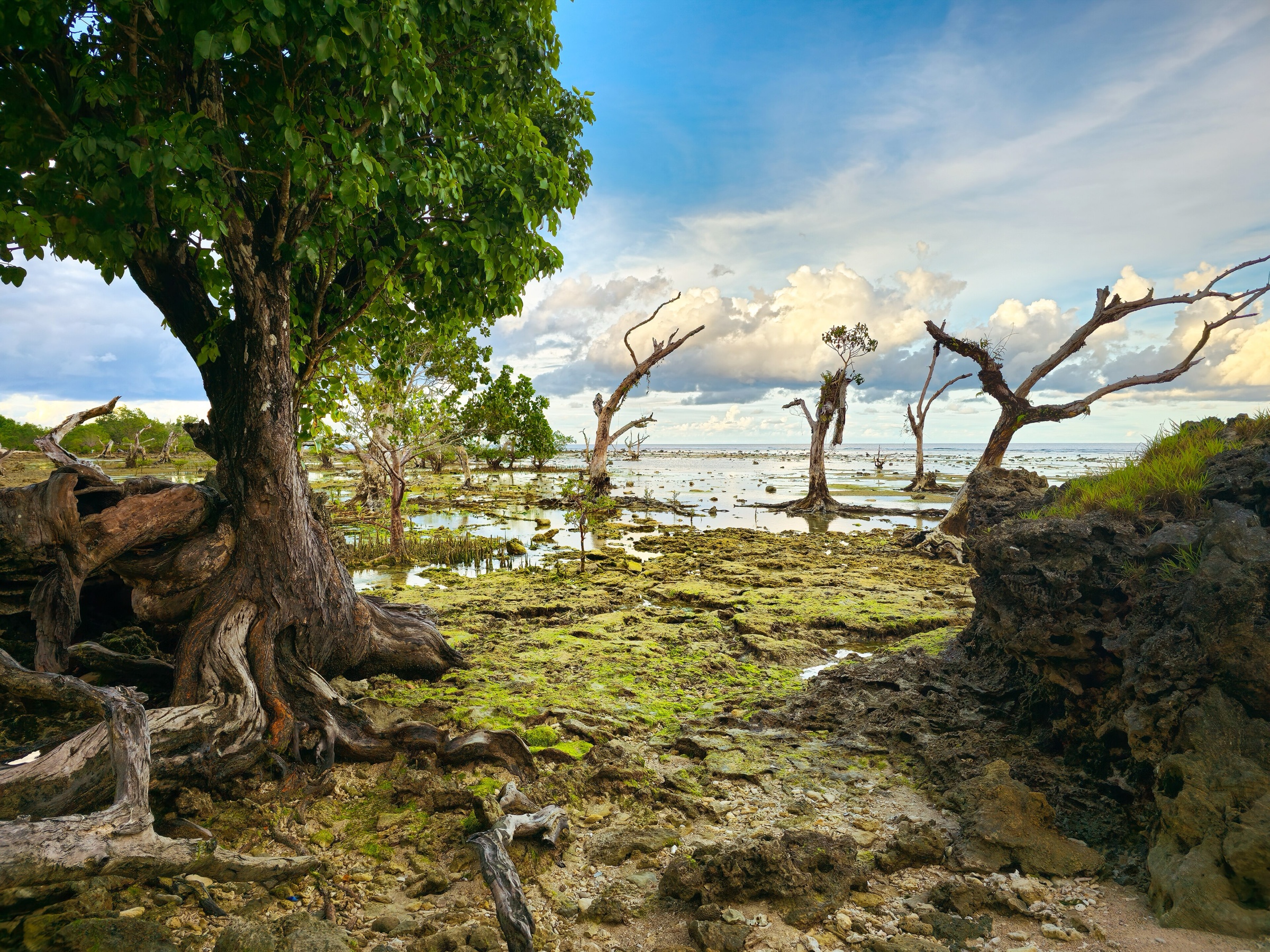
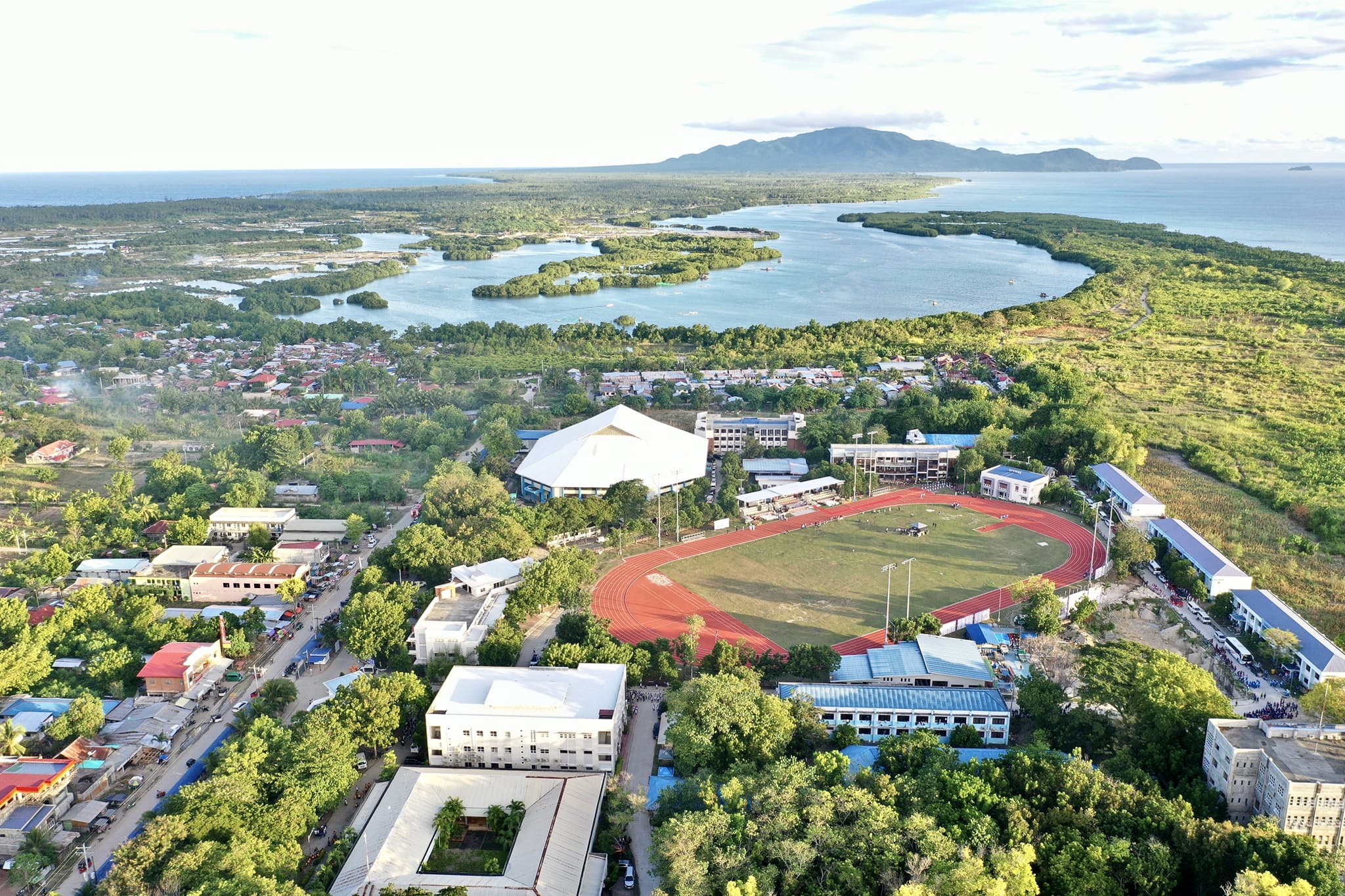
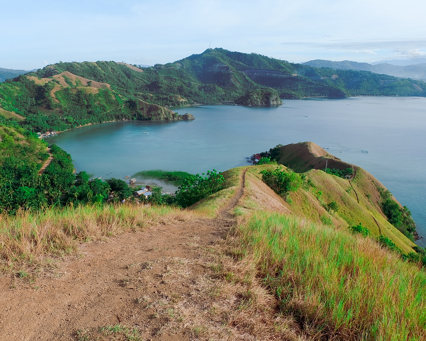
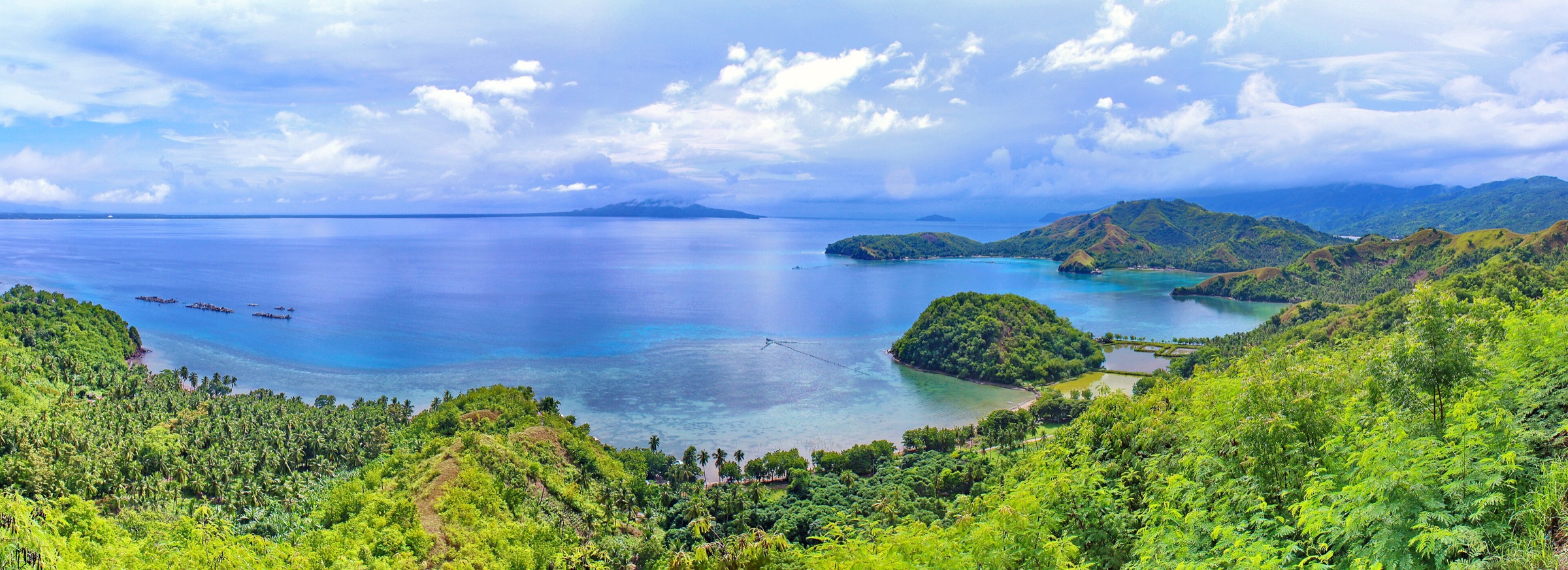
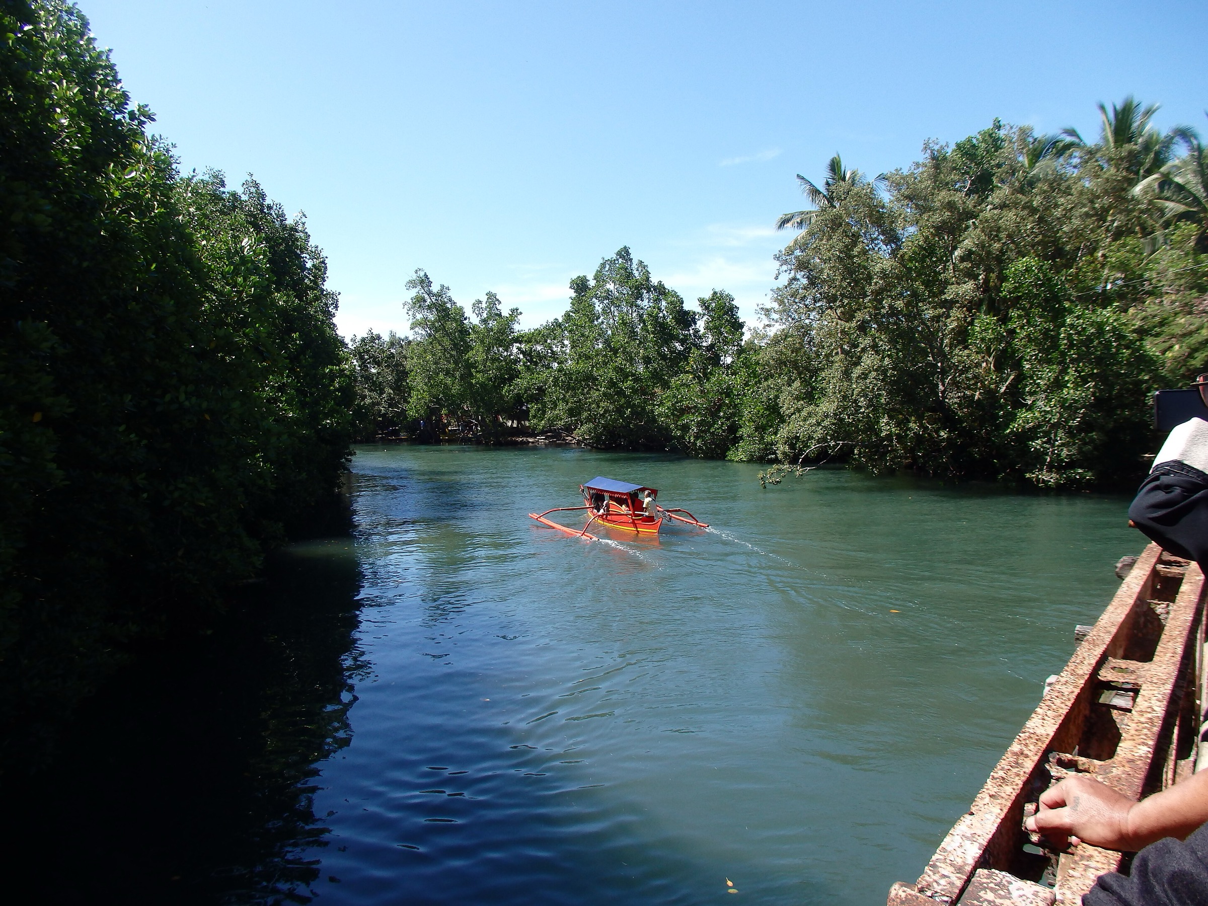
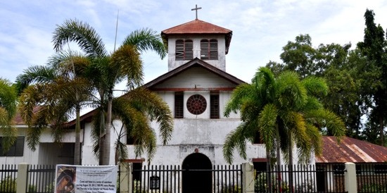
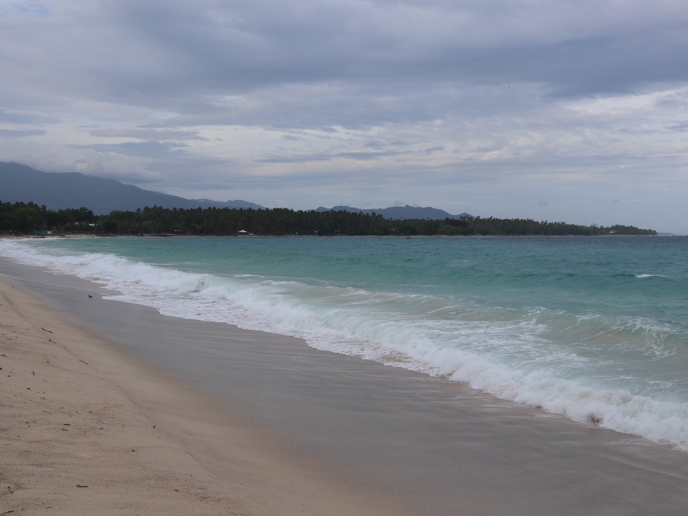
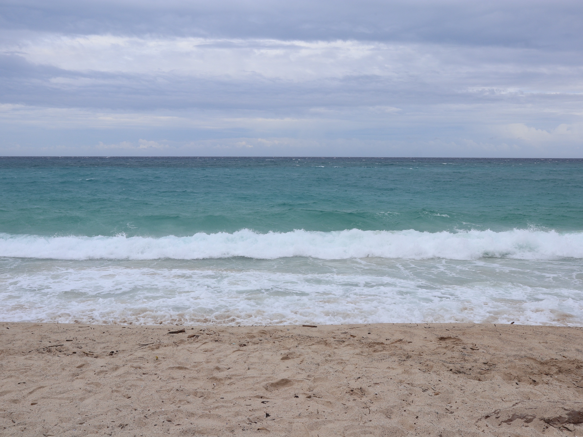
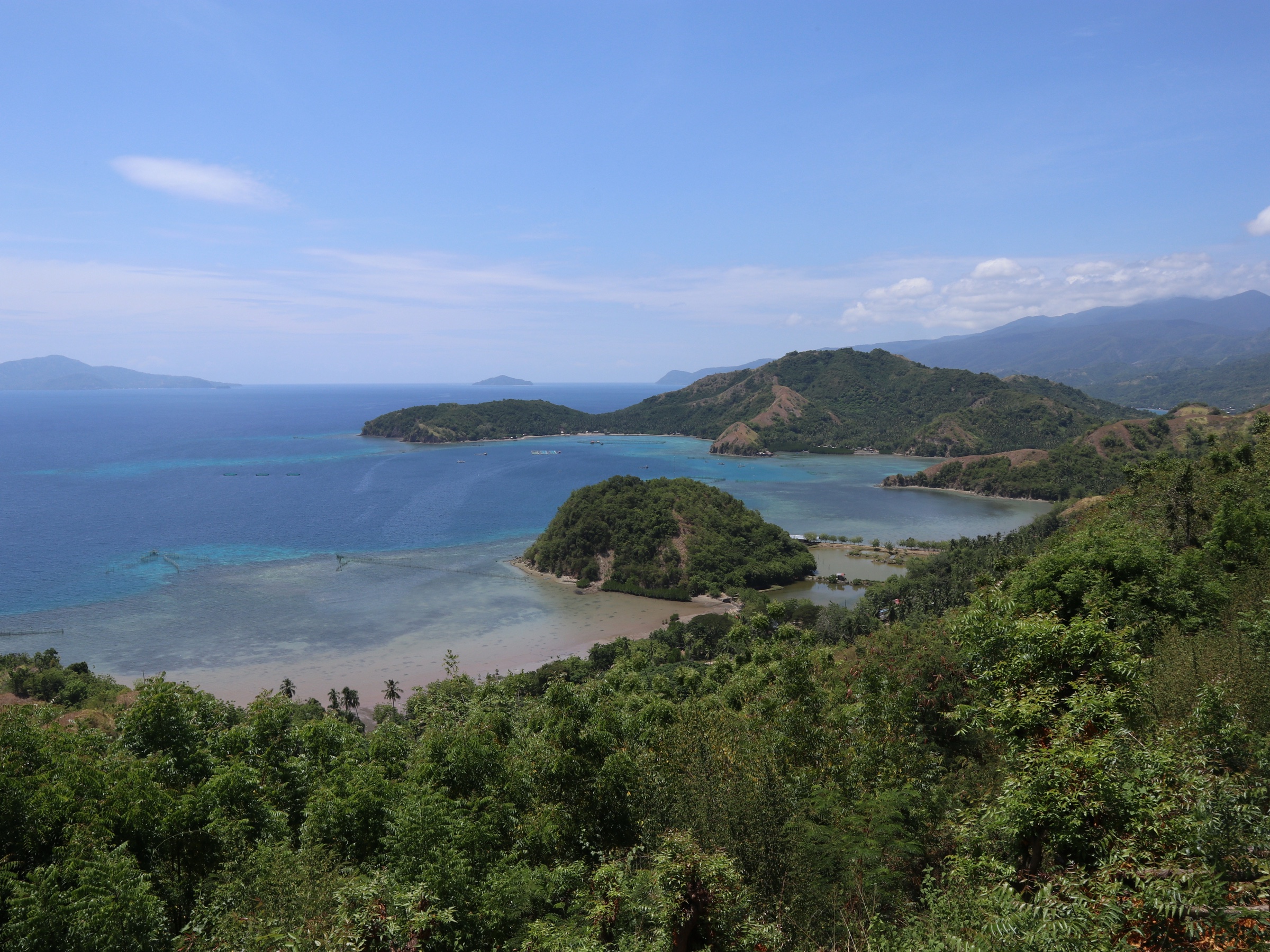
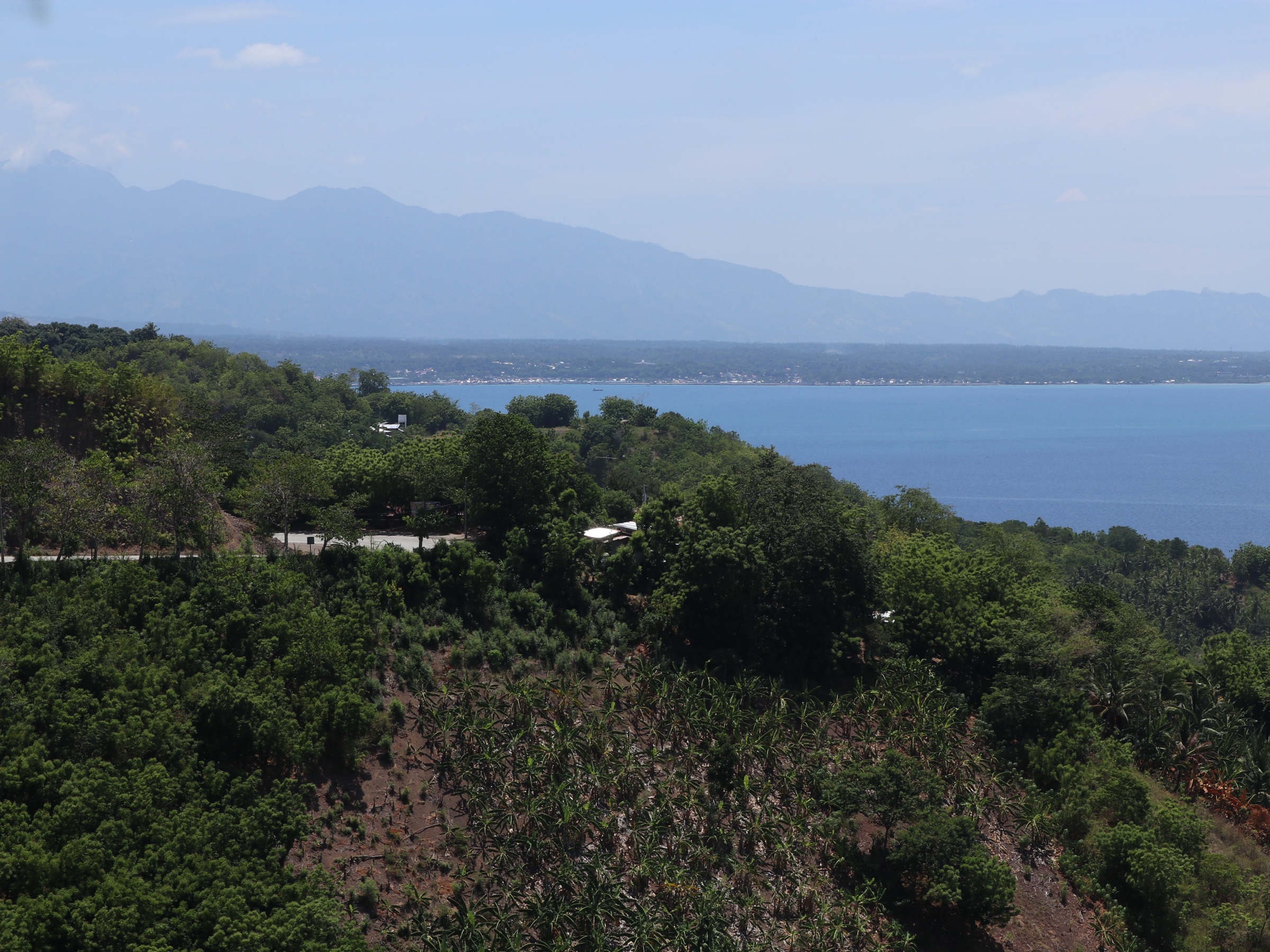
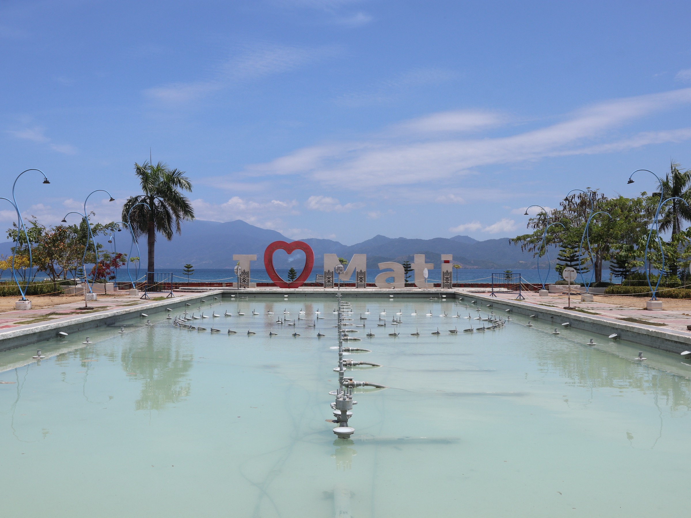
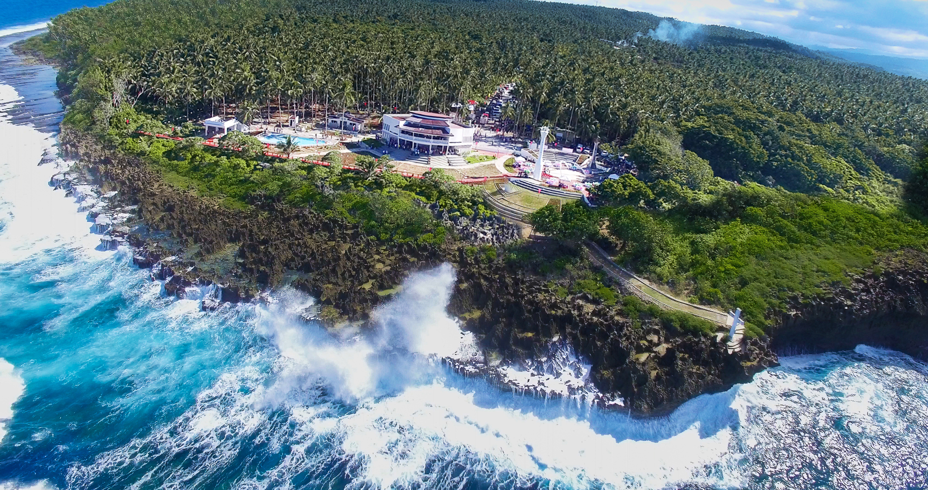
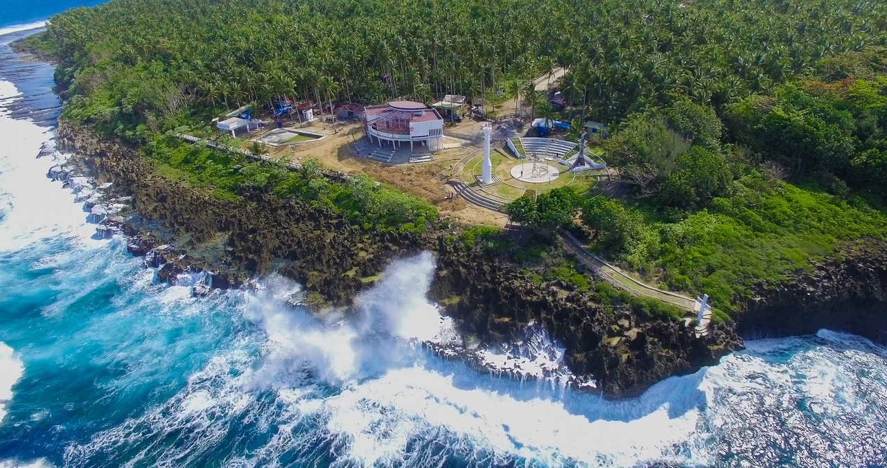
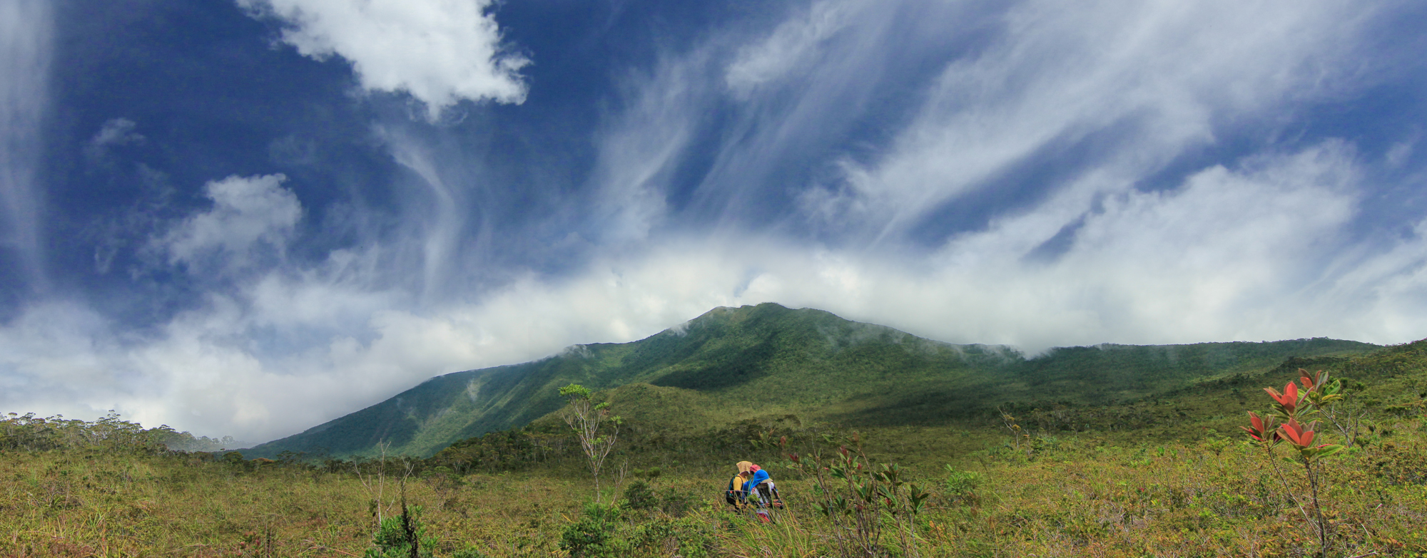
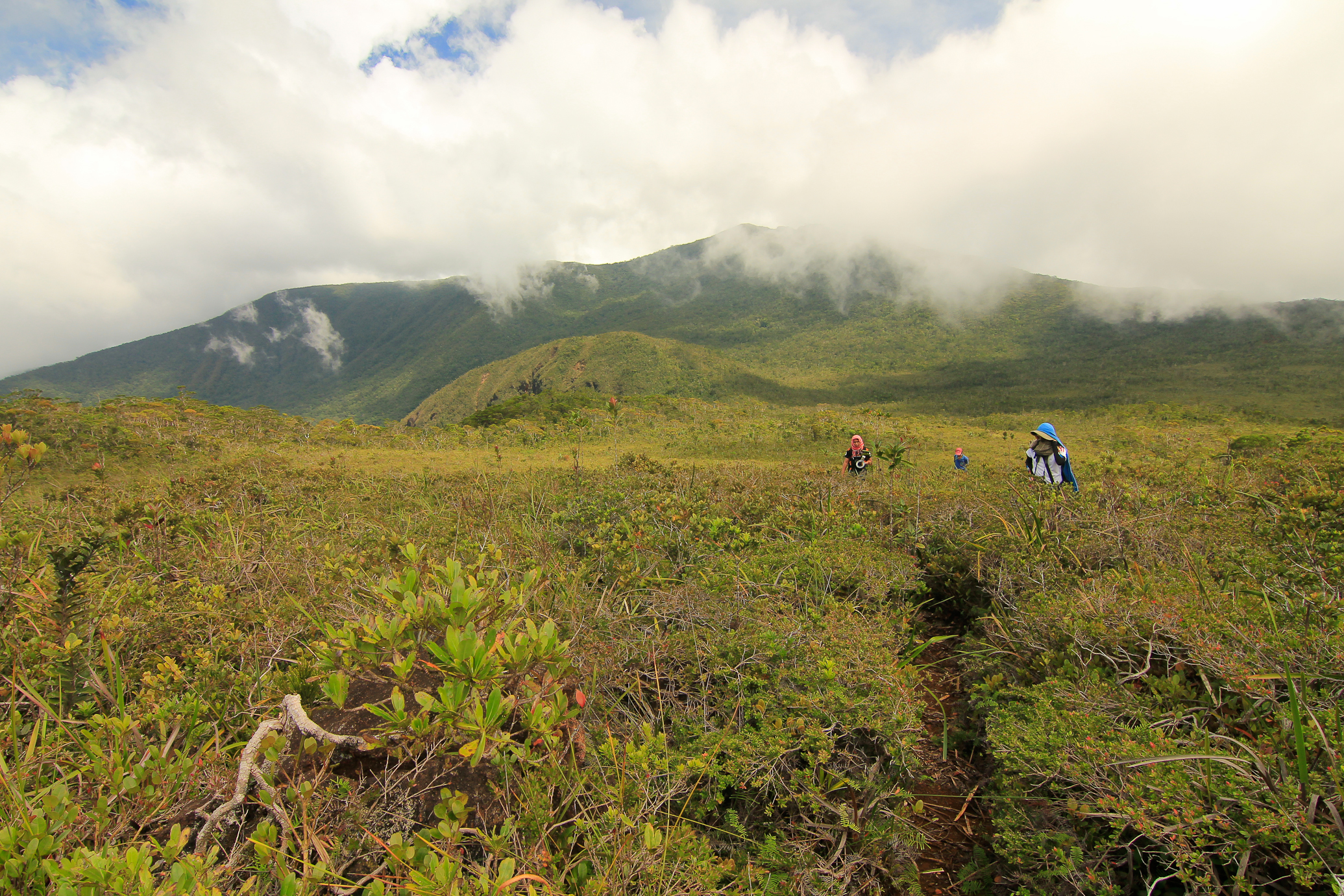
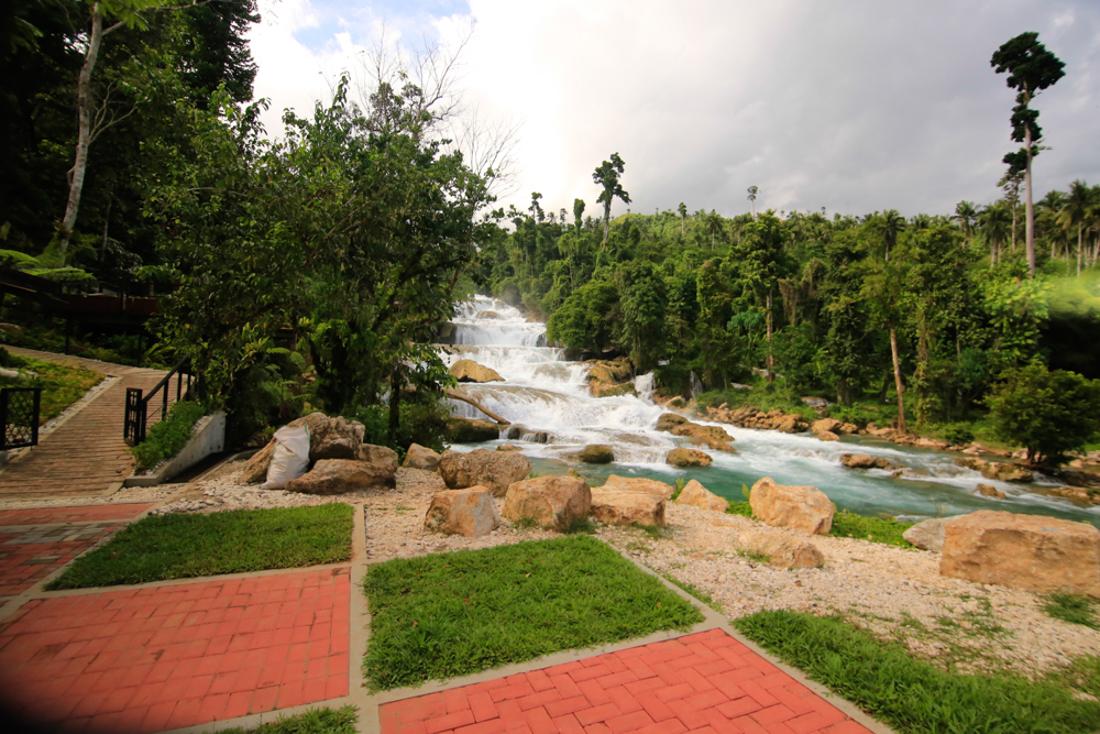
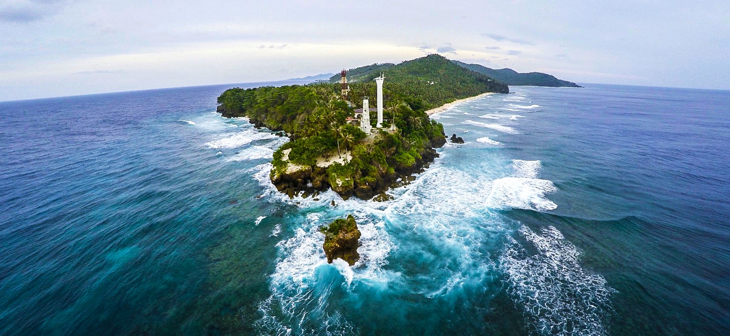
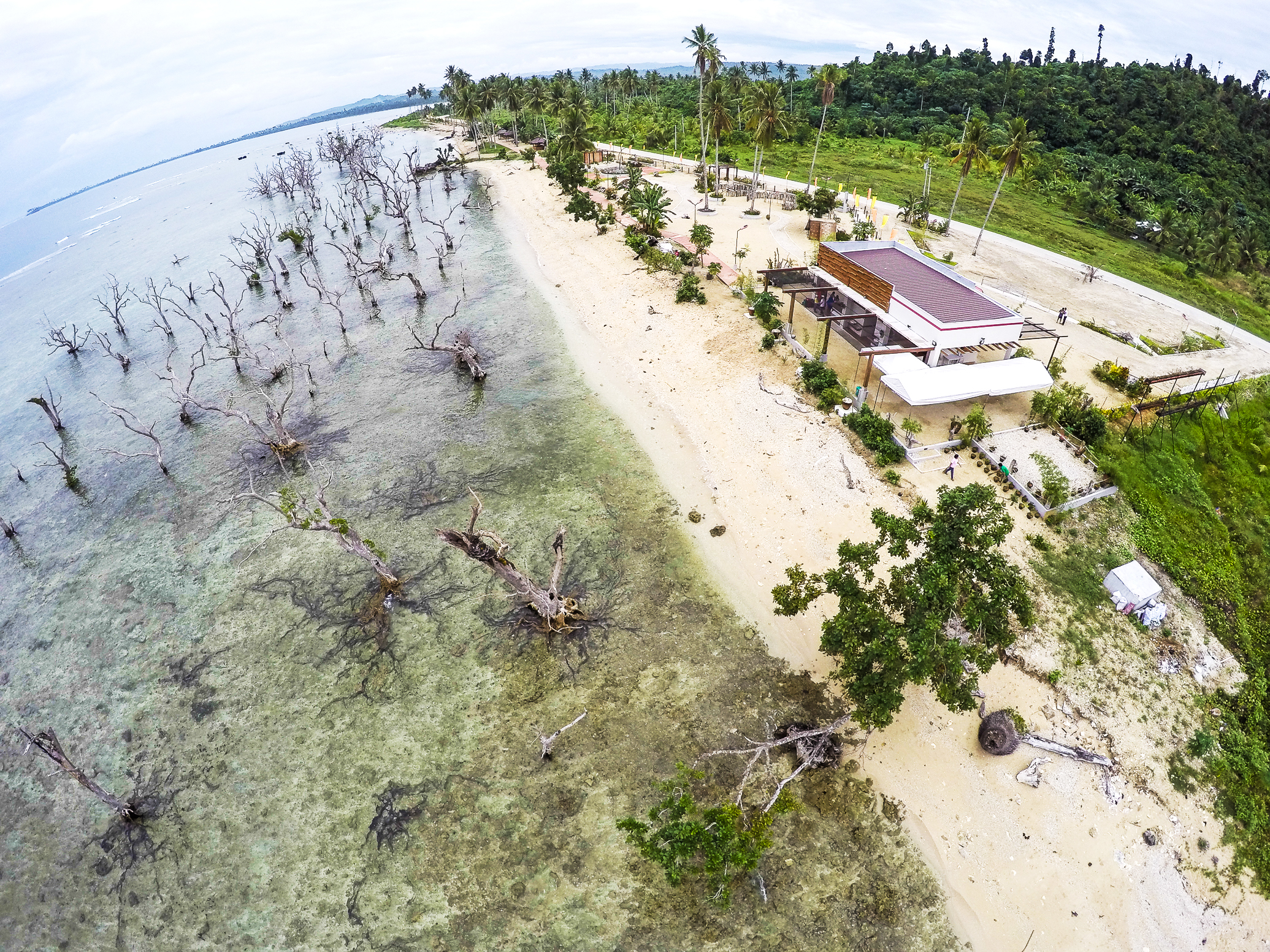
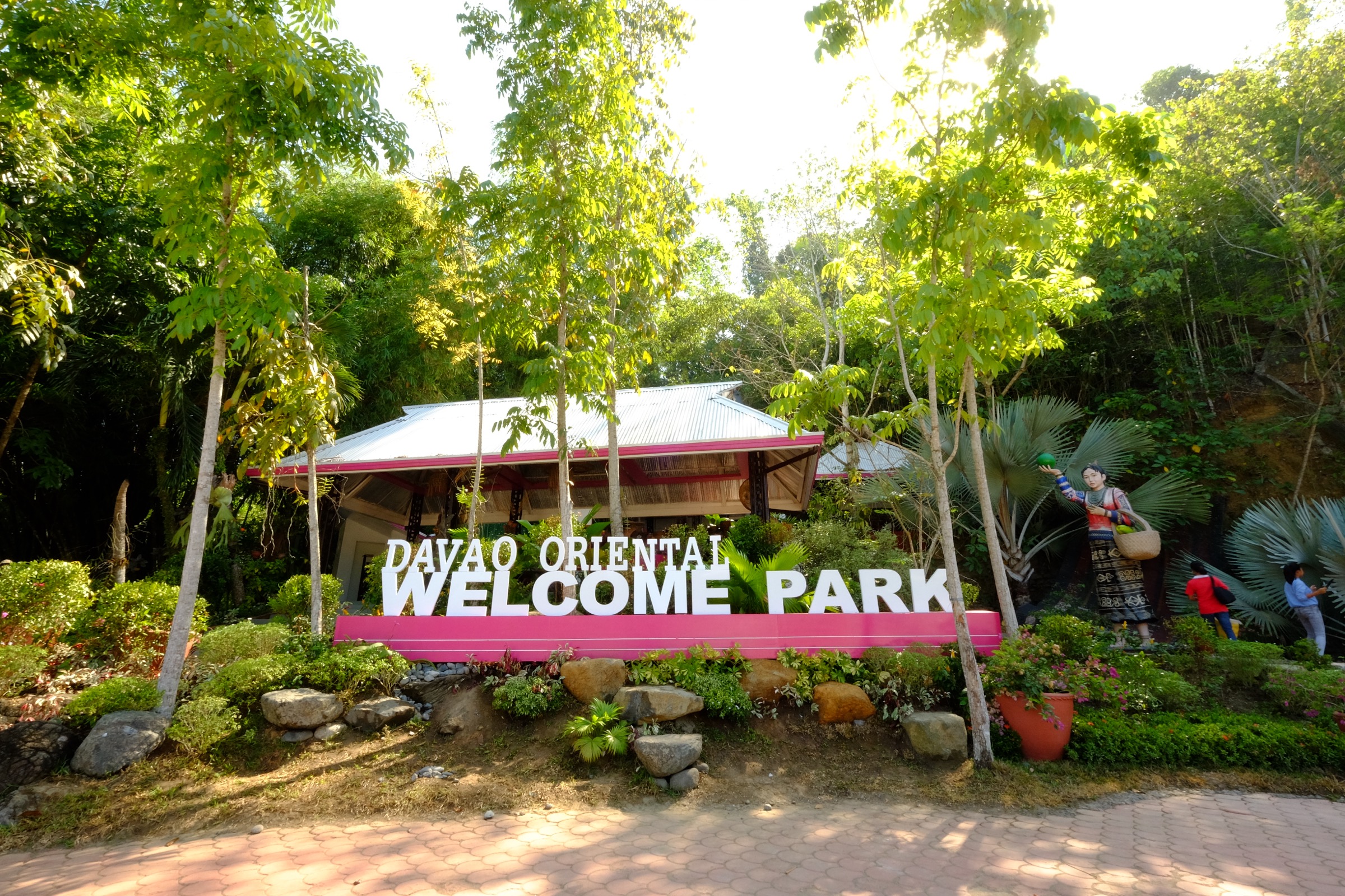
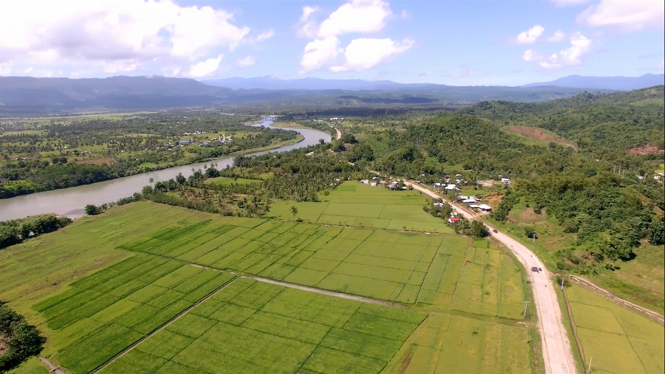
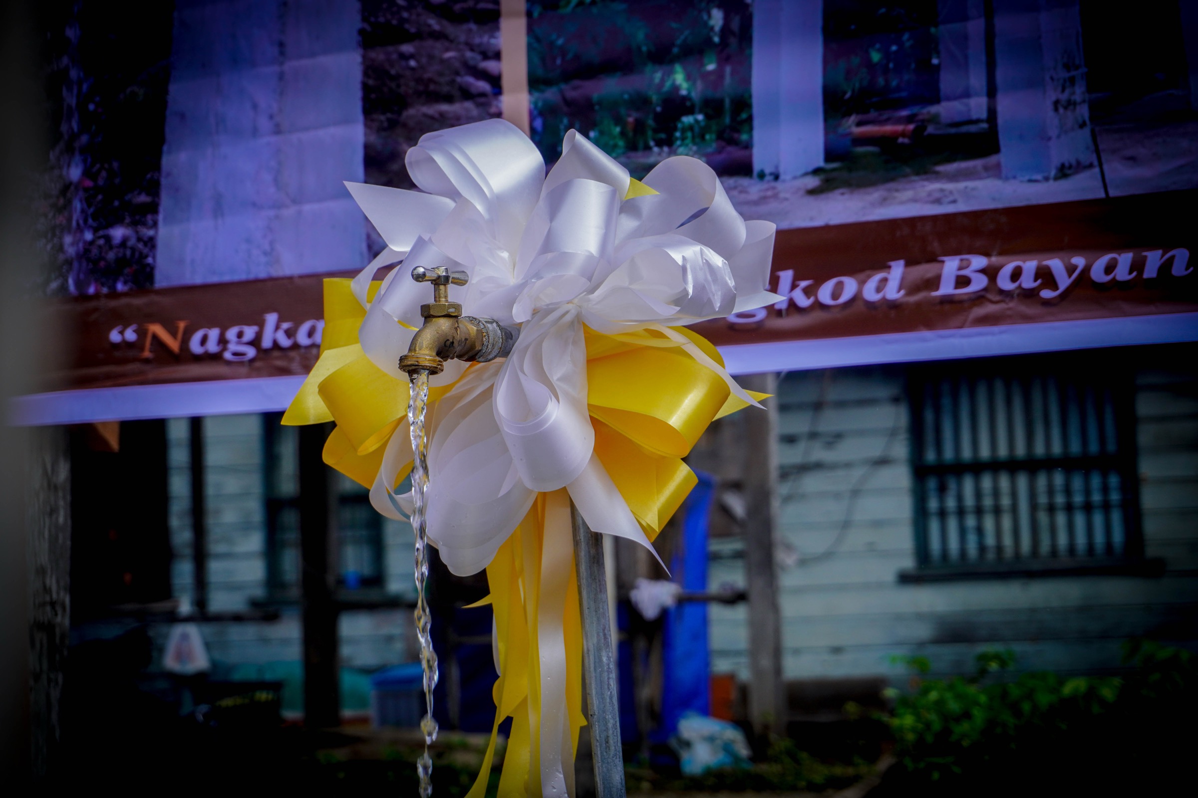
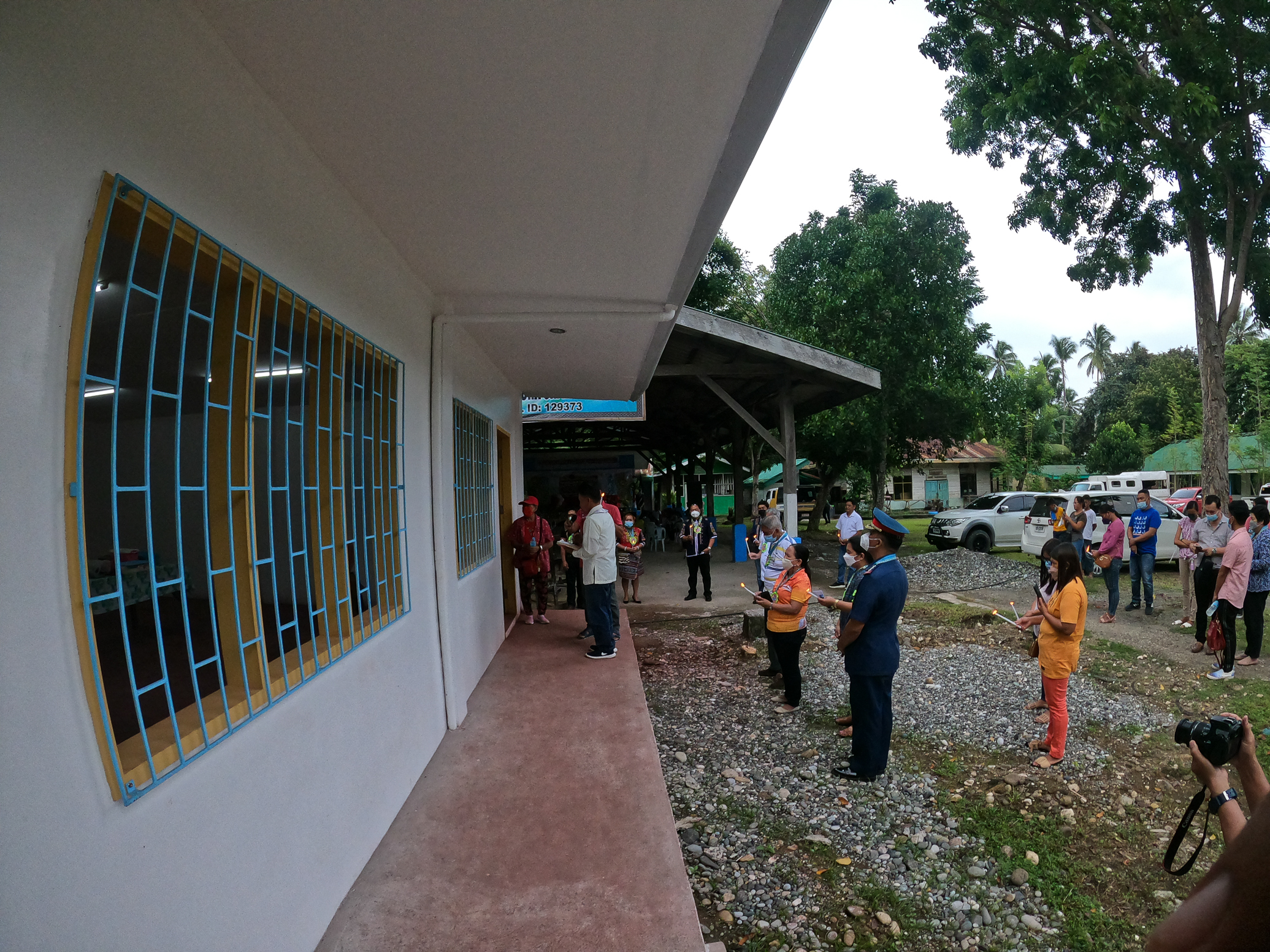
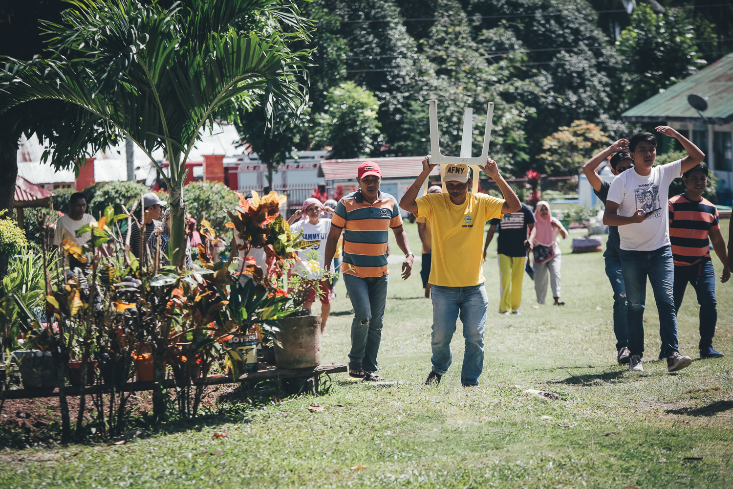
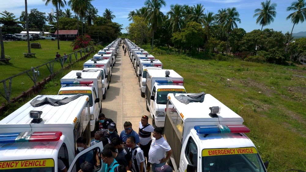
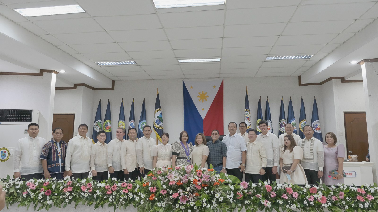
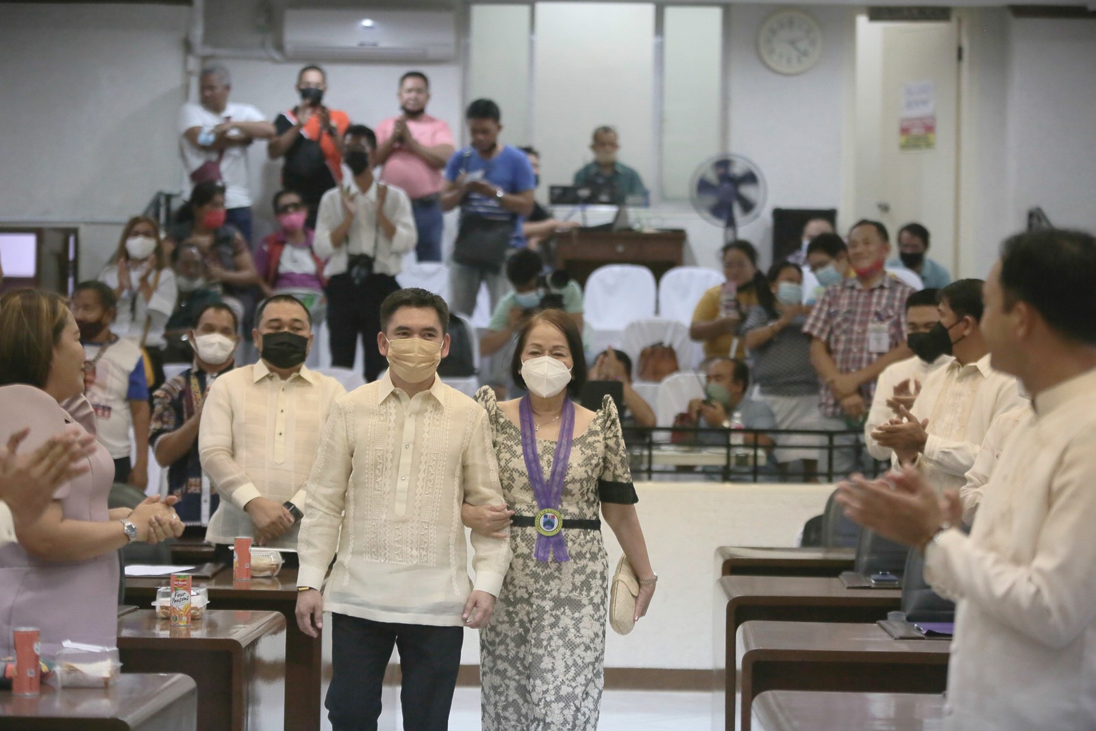
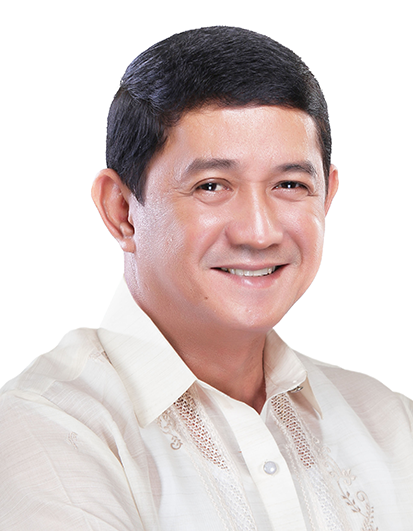
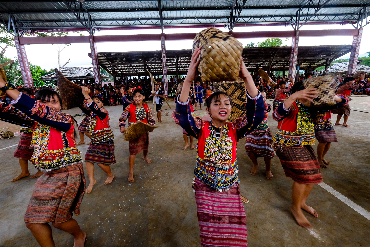
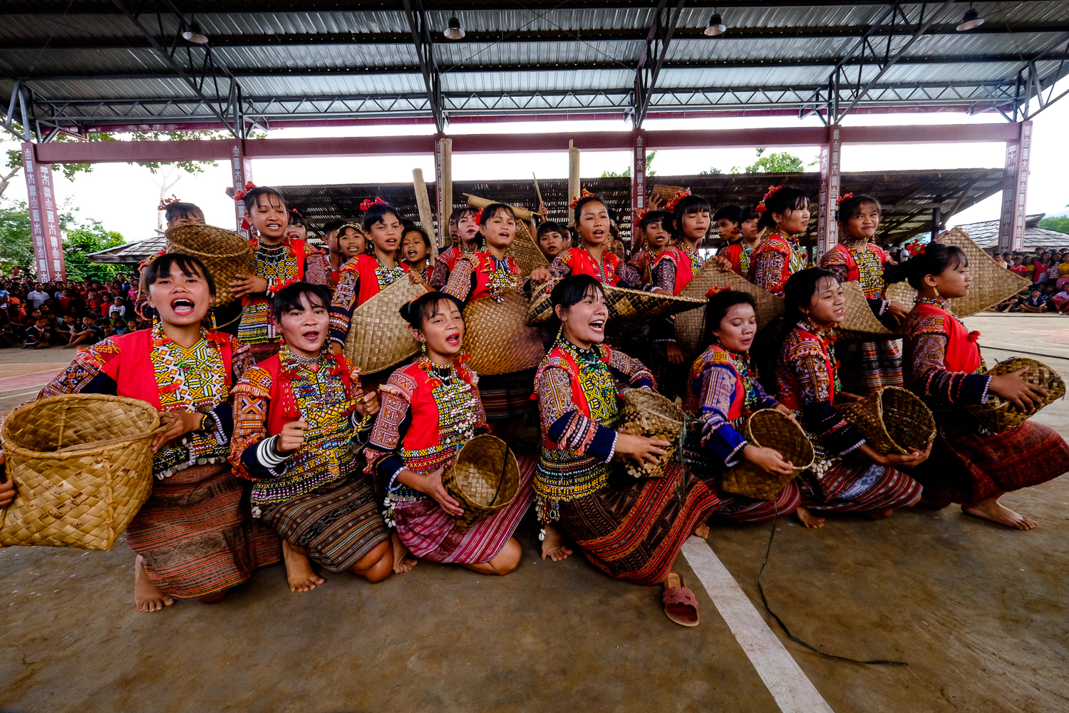
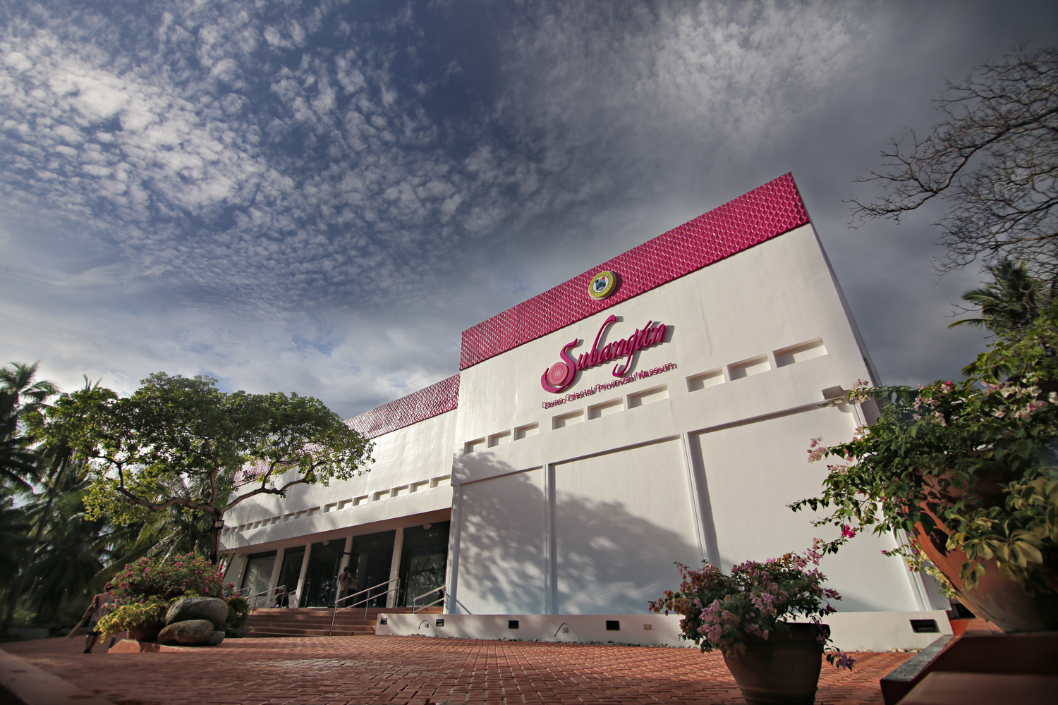
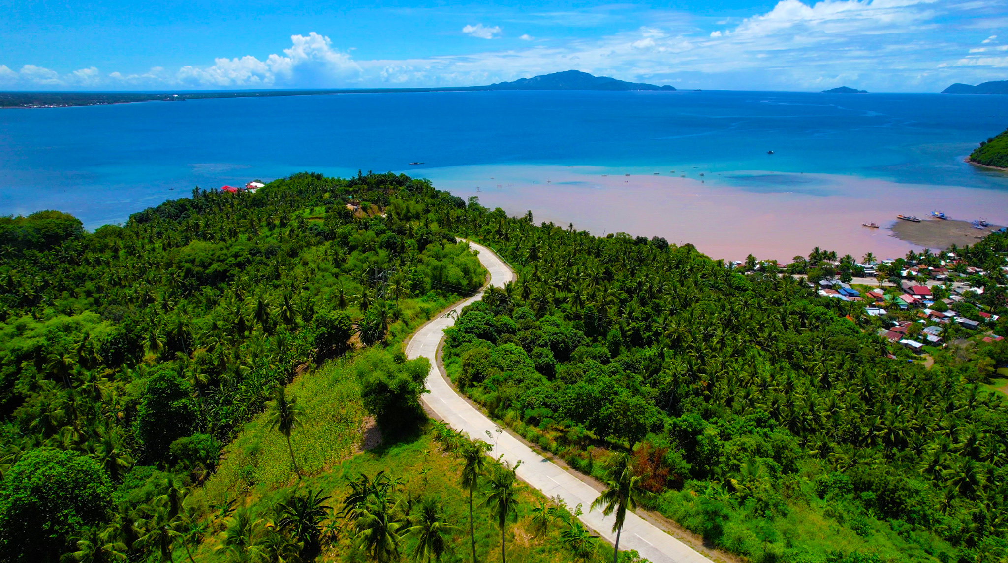
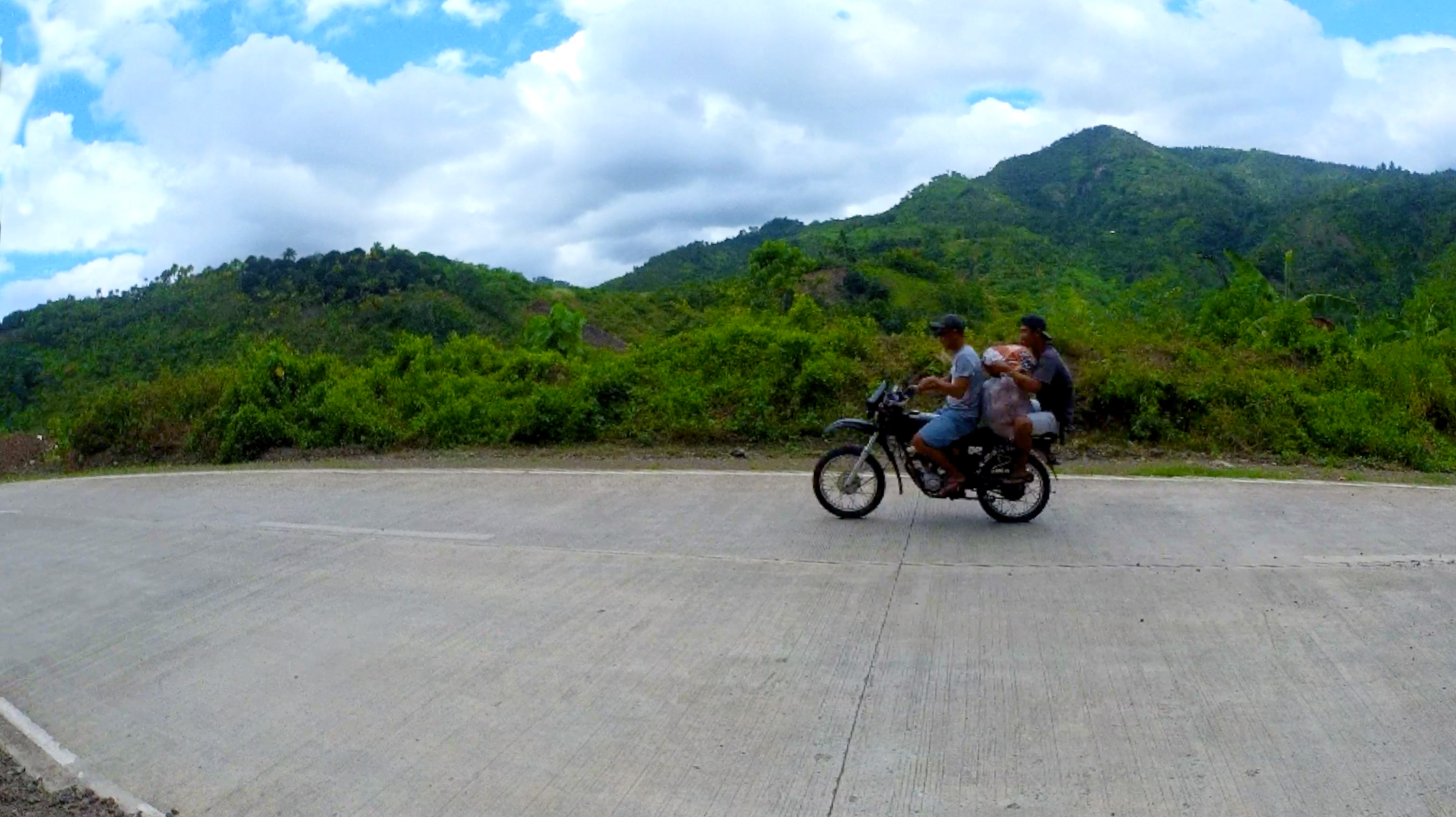
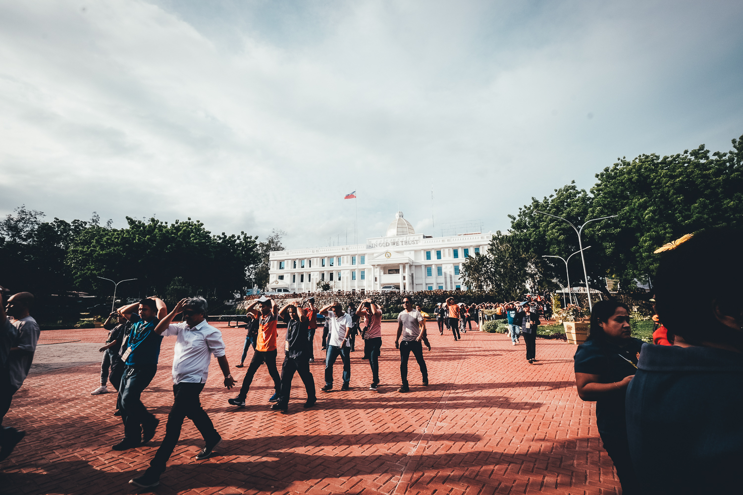
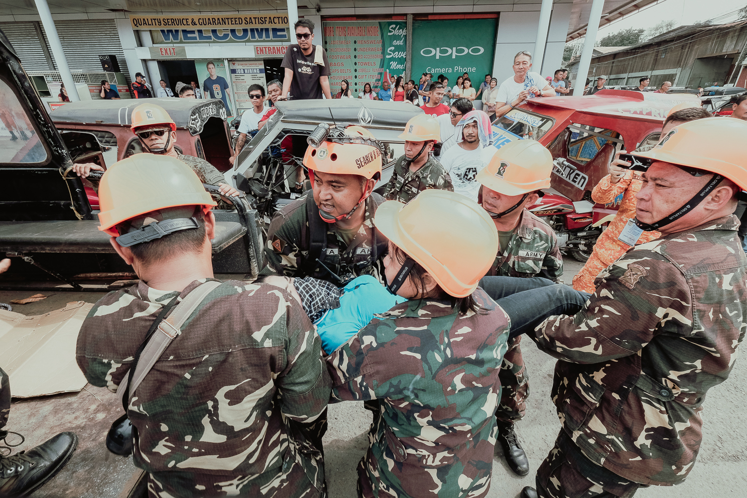
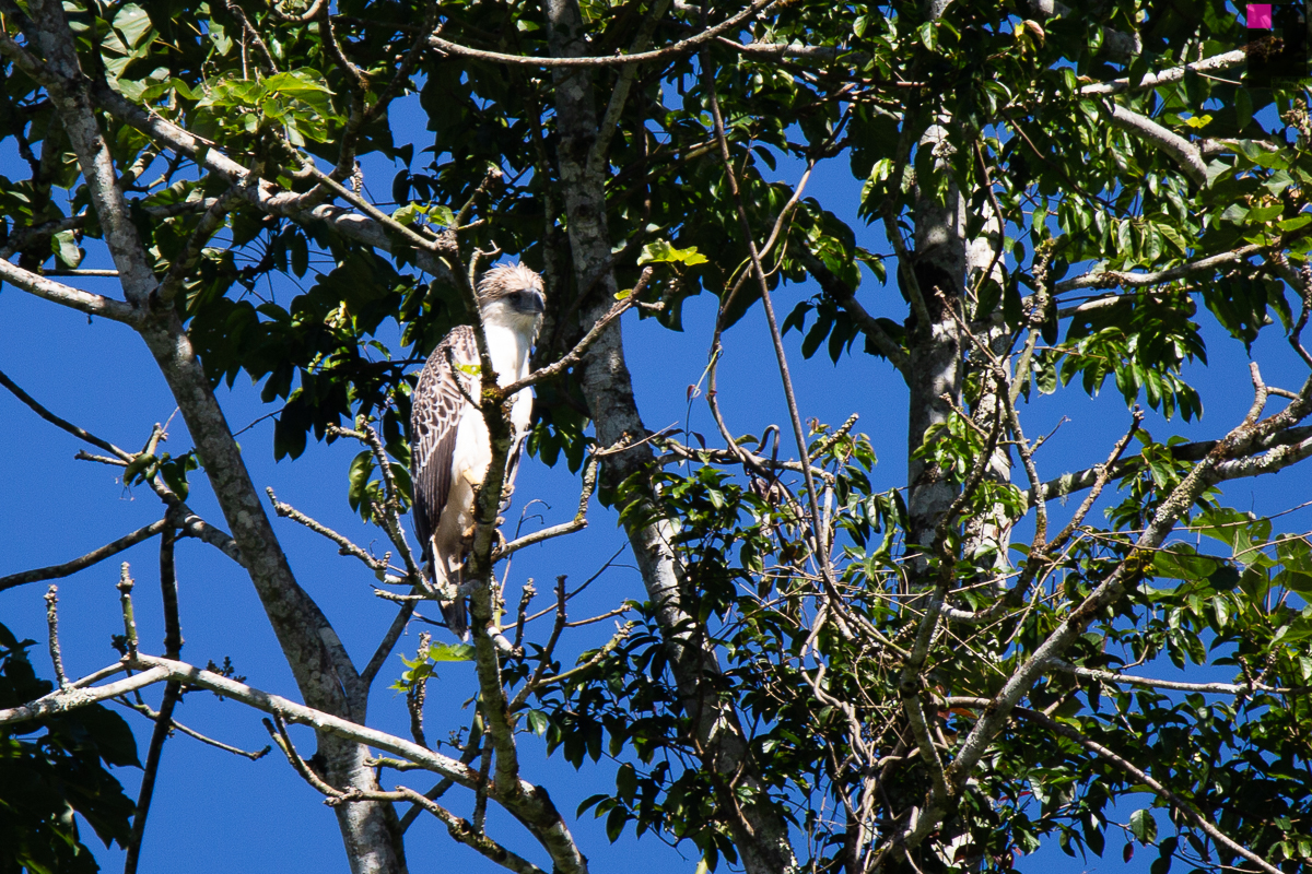
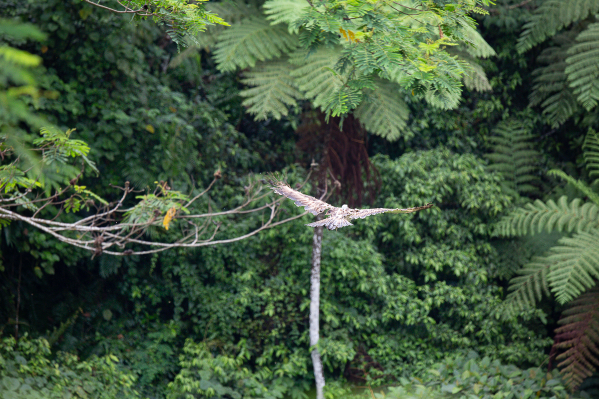
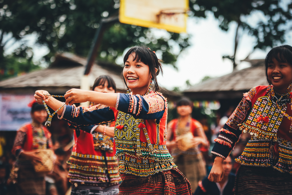
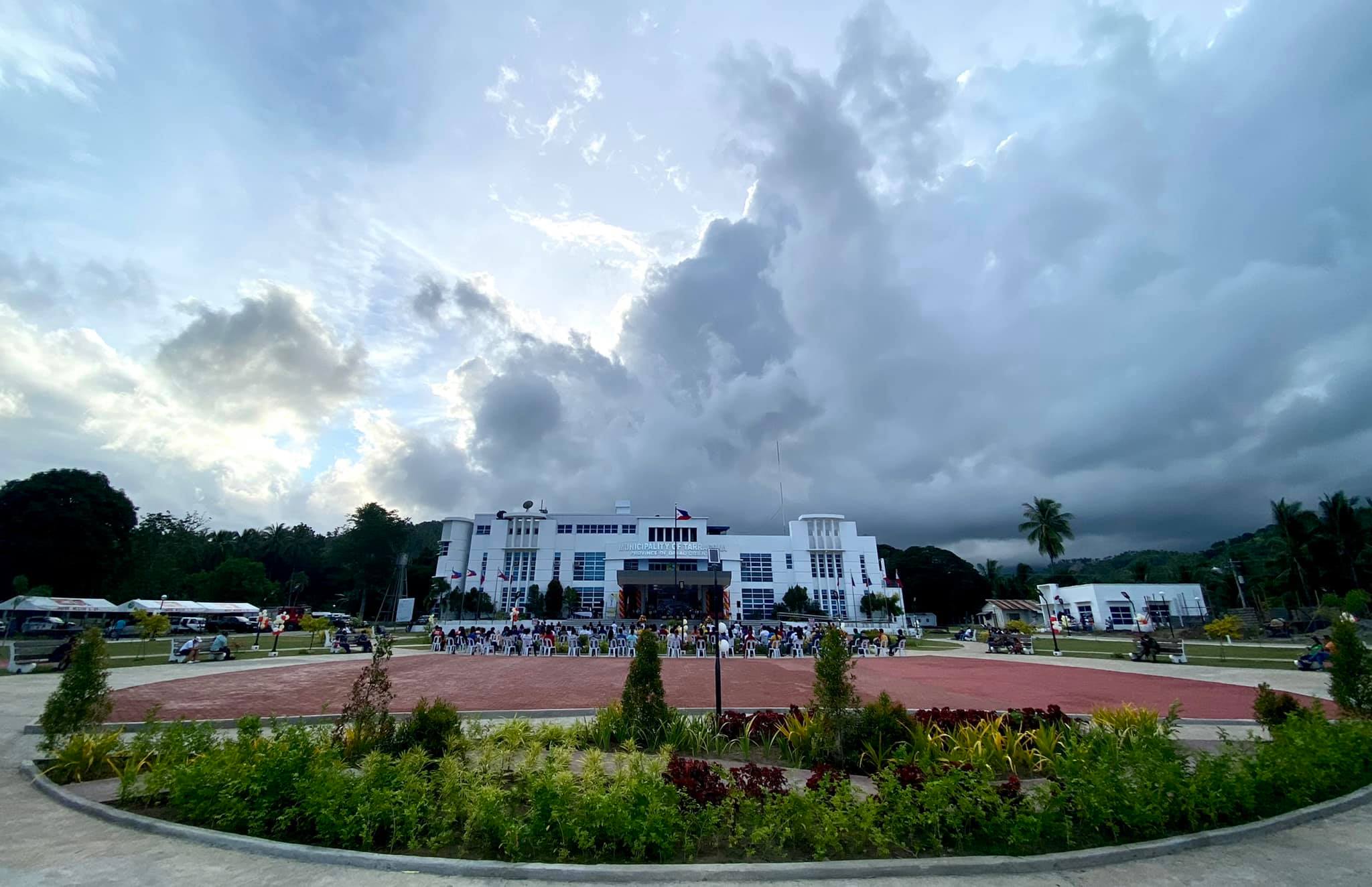
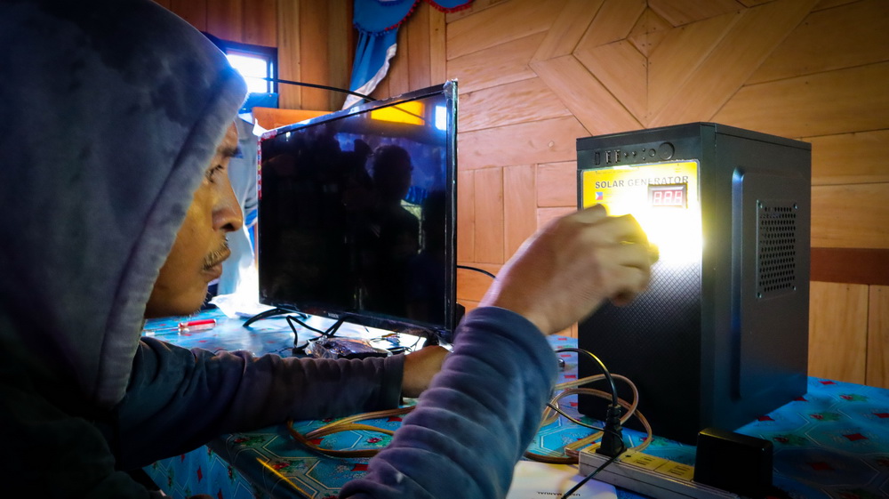
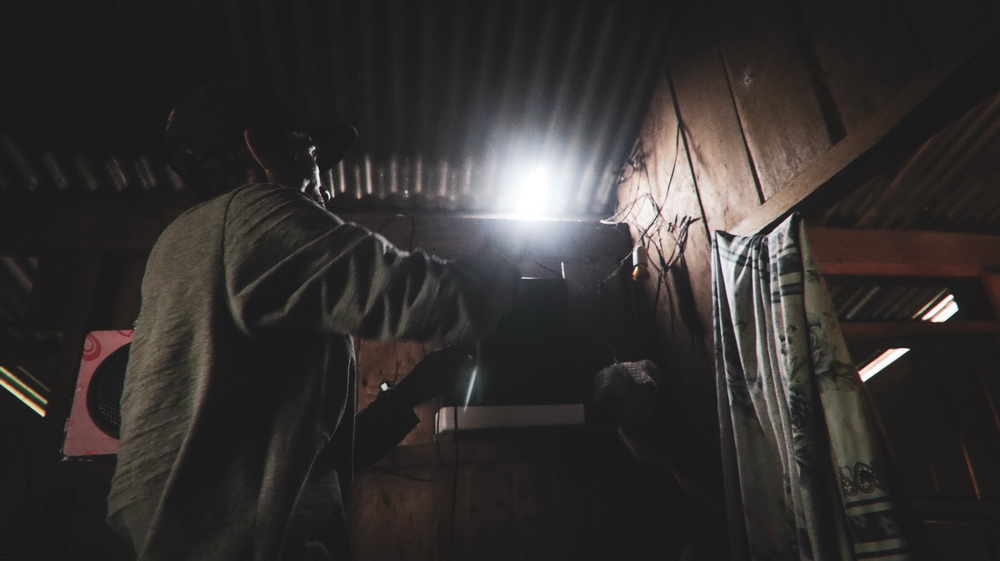
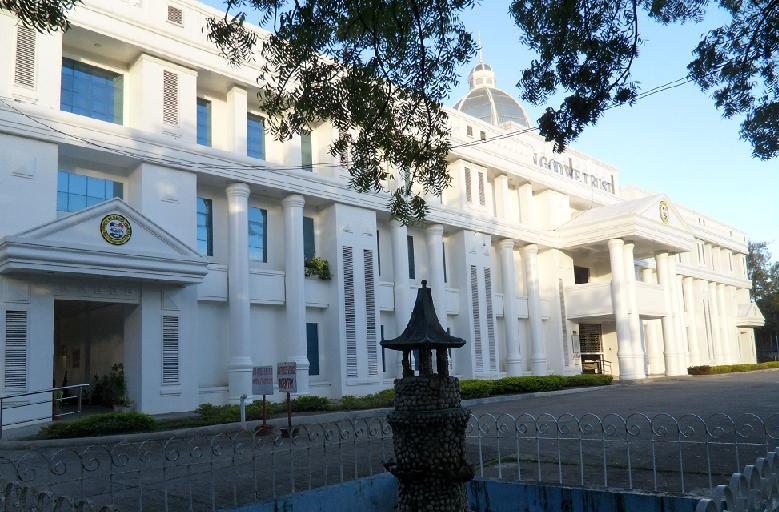
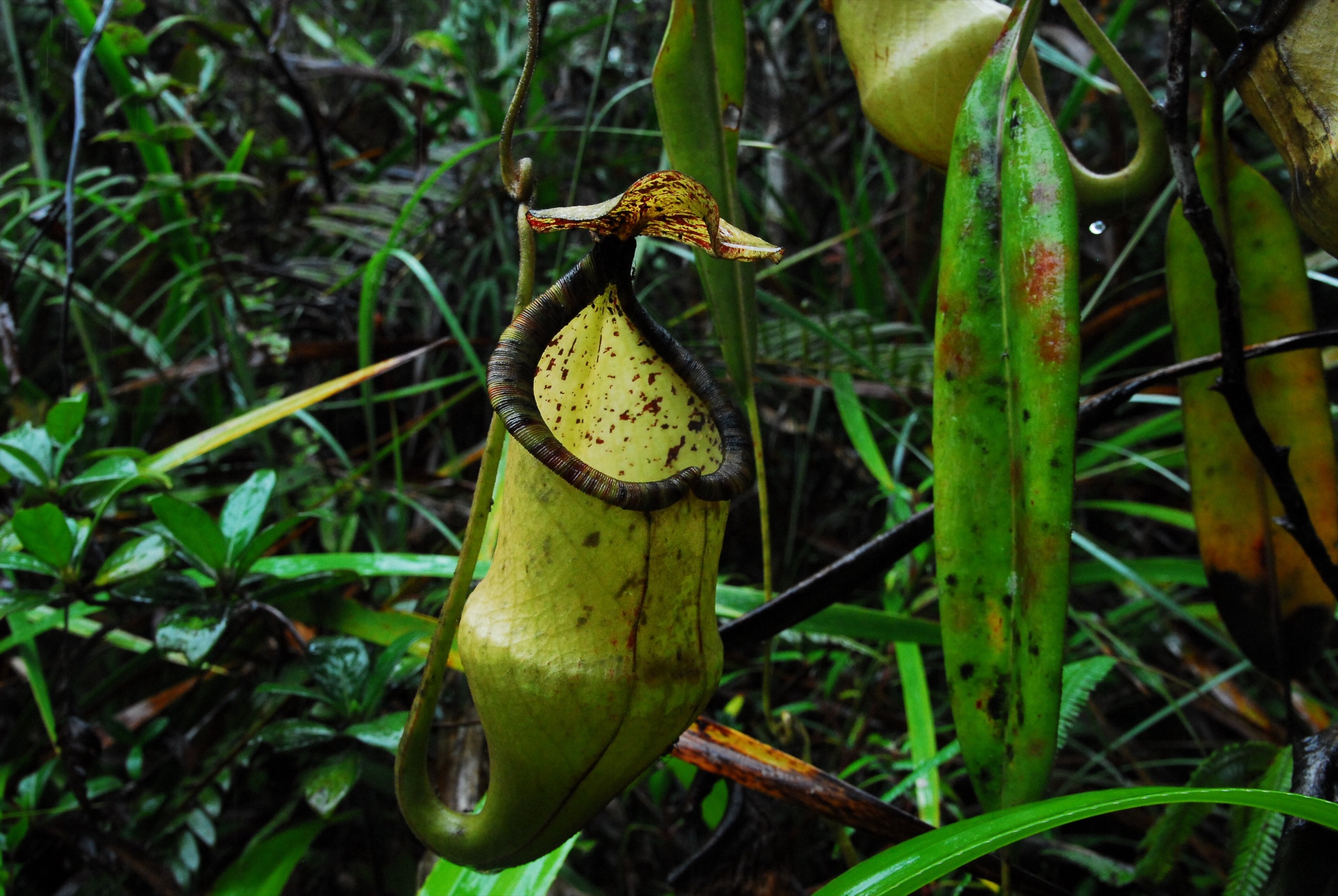
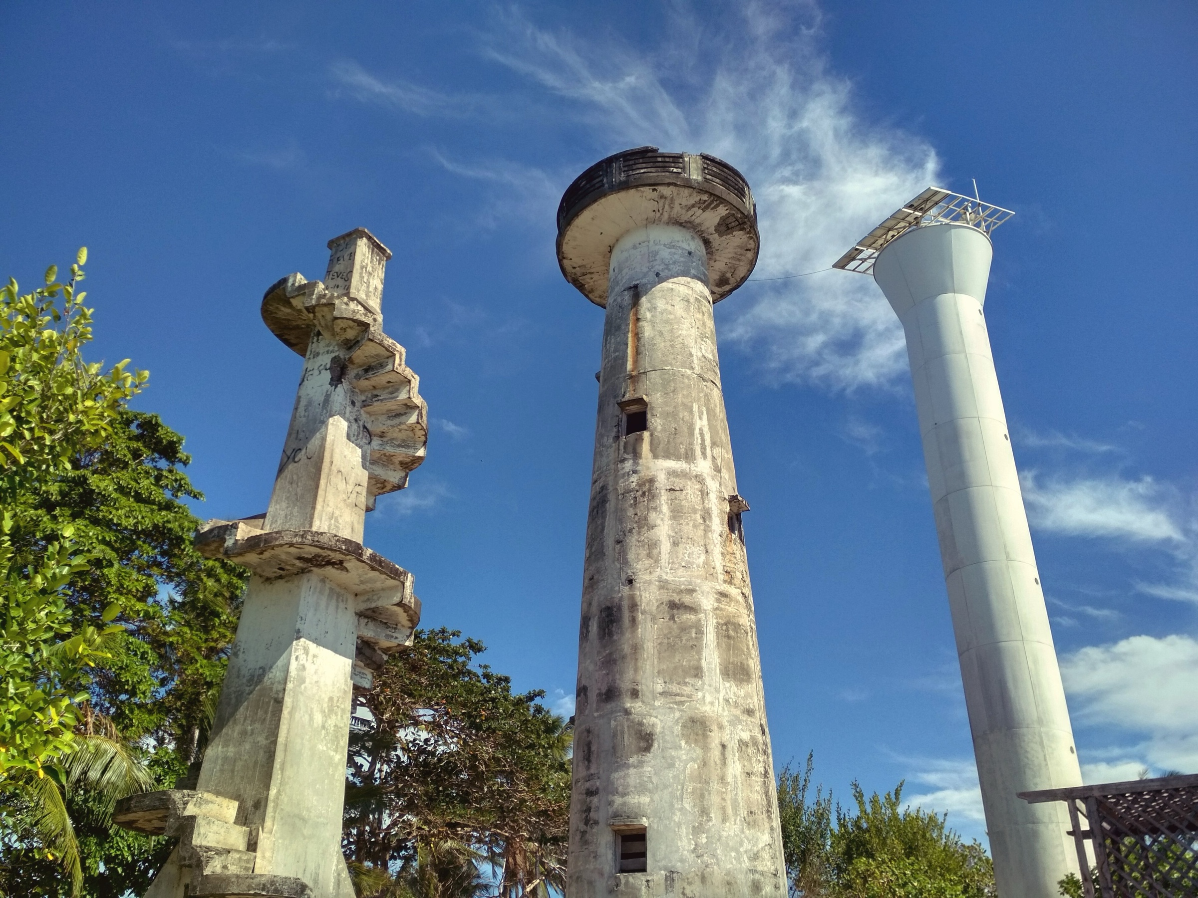
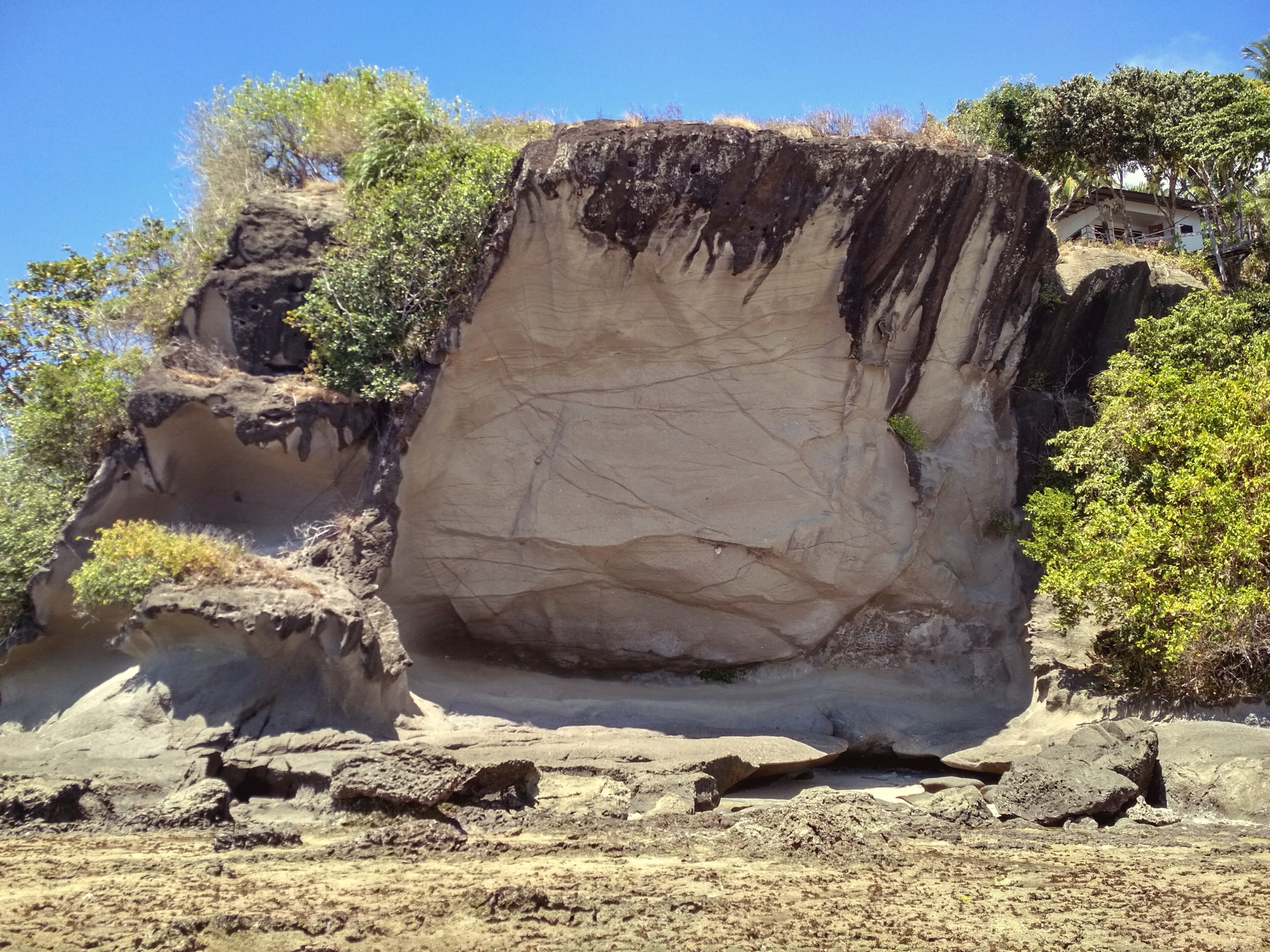
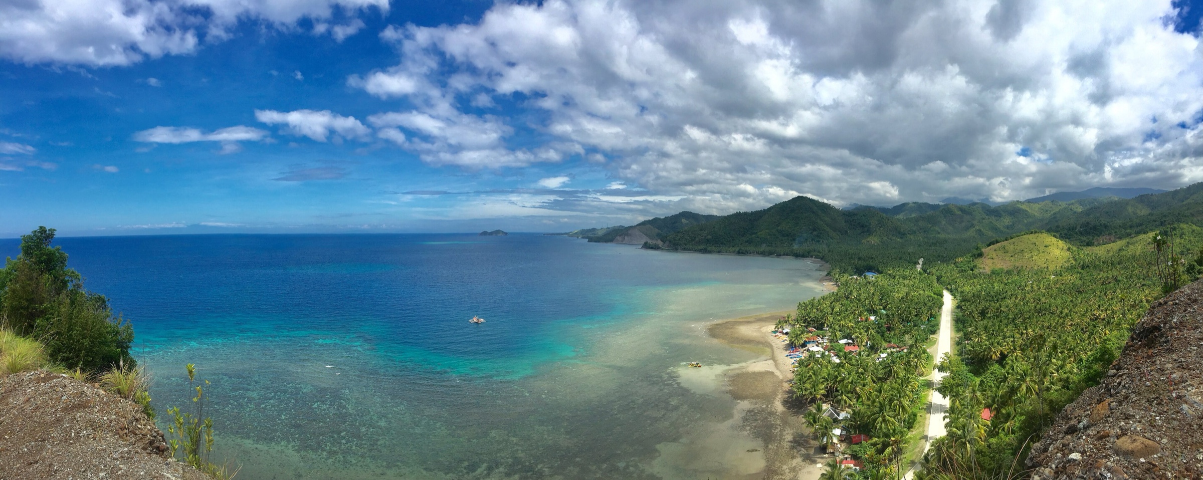
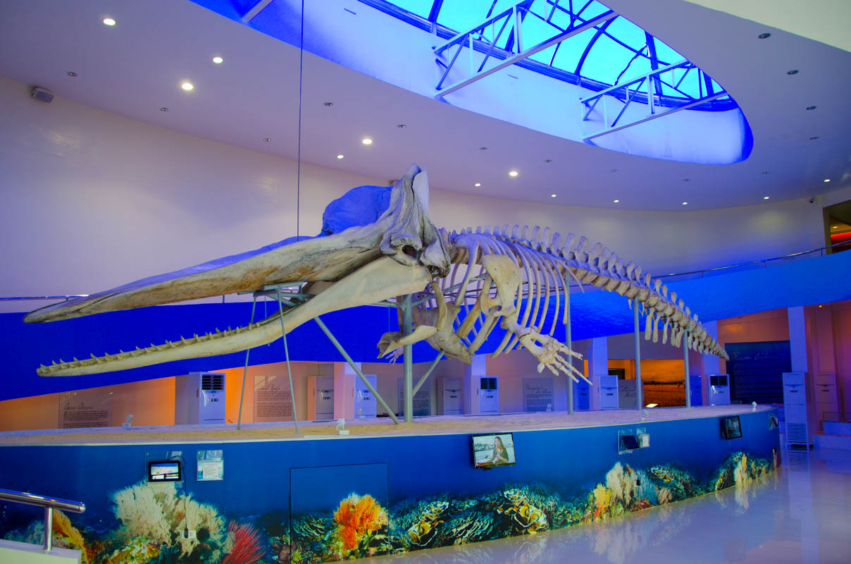
Beach at Bobon, Mati. Location as stated by the uploader on Wikimedia Commons; not independently verified. Amenah555 CC BY-SA 4.0 (opens another website) commons.wikimedia.org (opens another website) Aliwagwag Falls. Location as stated by the uploader on Wikimedia Commons; not independently verified. Andre Lloyd Torres CC BY-SA 4.0 (opens another website) commons.wikimedia.org (opens another website) Aliwagwag Falls. Location as stated by the uploader on Wikimedia Commons; not independently verified. Aranaleltote CC BY-SA 4.0 (opens another website) commons.wikimedia.org (opens another website) Launching of the Malasakit Center at the Davao Oriental Provincial Medical Center, 9 October 2020. City of Mati, Davao Oriental. Eden Jhan Licayan / Davao Oriental Official Website Philippine government work (RA 8293 Sec. 176) - public domain per Wikimedia Commons (PD-PhilippinesGov) (opens another website) commons.wikimedia.org (opens another website) Dahican Beach. Location as stated by the uploader on Wikimedia Commons; not independently verified. Joyfulwandering CC BY-SA 4.0 (opens another website) commons.wikimedia.org (opens another website) Sleeping Dinosaur landform. Location as stated by the uploader on Wikimedia Commons; not independently verified. Joyfulwandering CC BY-SA 4.0 (opens another website) commons.wikimedia.org (opens another website) Sleeping Dinosaur landform. Location as stated by the uploader on Wikimedia Commons; not independently verified. JuanPiso CC BY-SA 3.0 (opens another website) commons.wikimedia.org (opens another website) Rocky Pacific shore at Barangay San Ignacio. Manay, Davao Oriental. juneewarren CC BY 2.0 (opens another website) commons.wikimedia.org (opens another website) Coast of Mati with Mount Hamiguitan range in the distance. Location as stated by the uploader on Wikimedia Commons; not independently verified. Kirubiiphoto CC BY-SA 4.0 (opens another website) commons.wikimedia.org (opens another website) Nepenthes peltata pitcher plant on Mount Hamiguitan. Location as stated by the uploader on Wikimedia Commons; not independently verified. Kleo Marlo Sialongo CC BY 2.0 (opens another website) commons.wikimedia.org (opens another website) Mount Hamiguitan. Location as stated by the uploader on Wikimedia Commons; not independently verified. Kleomarlo CC BY-SA 3.0 (opens another website) commons.wikimedia.org (opens another website) Dwarf tree in the pygmy ('bonsai') forest of Mount Hamiguitan. San Isidro, Davao Oriental. Kleomarlo CC BY-SA 3.0 (opens another website) commons.wikimedia.org (opens another website) Mangroves in Baganga. Location as stated by the uploader on Wikimedia Commons; not independently verified. Macraw777 CC BY-SA 4.0 (opens another website) commons.wikimedia.org (opens another website) Davao Oriental State University main campus seen from the air (2022). City of Mati, Davao Oriental. Martin Clyde Leyva CC BY-SA 2.5 (opens another website) commons.wikimedia.org (opens another website) Trail along the ridge of the Sleeping Dinosaur landform. City of Mati, Davao Oriental. May Ann Libranda CC BY-SA 4.0 (opens another website) commons.wikimedia.org (opens another website) Sleeping Dinosaur landform and Pujada Bay (panorama). Location as stated by the uploader on Wikimedia Commons; not independently verified. Michael E. Peligro CC BY-SA 4.0 (opens another website) commons.wikimedia.org (opens another website) River at Barangay Maputi (Piso Kagan river cruise). Banaybanay, Davao Oriental. Nurz CA CC BY-SA 4.0 (opens another website) commons.wikimedia.org (opens another website) Facade of San Salvador del Mundo Church (Caraga Church). Caraga, Davao Oriental. Olan214 CC BY-SA 3.0 (opens another website) commons.wikimedia.org (opens another website) Dahican Beach. Location as stated by the uploader on Wikimedia Commons; not independently verified. Patrickroque01 CC BY-SA 4.0 (opens another website) commons.wikimedia.org (opens another website) Dahican Beach. Location as stated by the uploader on Wikimedia Commons; not independently verified. Patrickroque01 CC BY-SA 4.0 (opens another website) commons.wikimedia.org (opens another website) Sleeping Dinosaur landform and Pujada Bay. Location as stated by the uploader on Wikimedia Commons; not independently verified. Patrickroque01 CC BY-SA 4.0 (opens another website) commons.wikimedia.org (opens another website) Mati city seen from the highway. Location as stated by the uploader on Wikimedia Commons; not independently verified. Patrickroque01 CC BY-SA 4.0 (opens another website) commons.wikimedia.org (opens another website) Mati Park and Baywalk, fountain and 'I love Mati' sign. City of Mati, Davao Oriental. Patrickroque01 CC BY-SA 4.0 (opens another website) commons.wikimedia.org (opens another website) Seal of the Province of Davao Oriental as published on the official provincial website. Province of Davao Oriental. Provincial Government of Davao Oriental Philippine government work (RA 8293 Sec. 176) (opens another website) web.archive.org (opens another website) Seal of the Province of Davao Oriental as published on the provincial government’s official Facebook page. Provincial Government of Davao Oriental Philippine government work (RA 8293 Sec. 176) (opens another website) facebook.com (opens another website) Davao Oriental “Kanato Ini” emblem as shown on the provincial government’s official Facebook page. Provincial Government of Davao Oriental Philippine government work (RA 8293 Sec. 176) (opens another website) facebook.com (opens another website) Pusan Point Eco Park seen from the air. Caraga, Davao Oriental. Provincial Information Office, Provincial Government of Davao Oriental Philippine government work (RA 8293 Sec. 176) (opens another website) web.archive.org (opens another website) Pusan Point Eco Park seen from the air. Caraga, Davao Oriental. Provincial Information Office, Provincial Government of Davao Oriental Philippine government work (RA 8293 Sec. 176) (opens another website) web.archive.org (opens another website) Mount Hamiguitan range above an open field of low vegetation. San Isidro, Davao Oriental. Provincial Information Office, Provincial Government of Davao Oriental Philippine government work (RA 8293 Sec. 176) (opens another website) web.archive.org (opens another website) Low montane vegetation on the Mount Hamiguitan range. San Isidro, Davao Oriental. Provincial Information Office, Provincial Government of Davao Oriental Philippine government work (RA 8293 Sec. 176) (opens another website) web.archive.org (opens another website) Aliwagwag Falls Eco Park, cascades seen from the landscaped path. Cateel, Davao Oriental. Provincial Information Office, Provincial Government of Davao Oriental Philippine government work (RA 8293 Sec. 176) (opens another website) web.archive.org (opens another website) Cape San Agustin and its lighthouse seen from the air. Governor Generoso, Davao Oriental. Provincial Information Office, Provincial Government of Davao Oriental Philippine government work (RA 8293 Sec. 176) (opens another website) web.archive.org (opens another website) Sunrise Boulevard on the coast of Baganga, seen from the air. Baganga, Davao Oriental. Provincial Information Office, Provincial Government of Davao Oriental Philippine government work (RA 8293 Sec. 176) (opens another website) web.archive.org (opens another website) Davao Oriental Welcome Park, Barangay Pintatagan. Banaybanay, Davao Oriental. Provincial Information Office, Provincial Government of Davao Oriental Philippine government work (RA 8293 Sec. 176) (opens another website) web.archive.org (opens another website) Irrigated rice fields beside a river in Davao Oriental. Province of Davao Oriental (municipality not stated by the source). Provincial Information Office, Provincial Government of Davao Oriental Philippine government work (RA 8293 Sec. 176) (opens another website) web.archive.org (opens another website) Tap of a newly turned-over potable water system, decorated for the ceremony. Tarragona, Davao Oriental. Provincial Information Office, Provincial Government of Davao Oriental Philippine government work (RA 8293 Sec. 176) (opens another website) web.archive.org (opens another website) New classroom building at an integrated school in Barangay Zaragosa, turned over in February 2022. Manay, Davao Oriental. Provincial Information Office, Provincial Government of Davao Oriental Philippine government work (RA 8293 Sec. 176) (opens another website) web.archive.org (opens another website) Residents evacuating during an earthquake and tsunami drill, Barangay Lucatan, February 2020. Tarragona, Davao Oriental. Provincial Information Office, Provincial Government of Davao Oriental Philippine government work (RA 8293 Sec. 176) (opens another website) web.archive.org (opens another website) Rescue vehicles lined up for turn-over to barangays, 11 June 2022. City of Mati, Davao Oriental. Provincial Information Office, Provincial Government of Davao Oriental Philippine government work (RA 8293 Sec. 176) (opens another website) web.archive.org (opens another website) Session hall of the Sangguniang Panlalawigan at the inaugural session of the 17th Sanggunian, July 2022 (members of that term). City of Mati, Davao Oriental. Provincial Information Office, Provincial Government of Davao Oriental Philippine government work (RA 8293 Sec. 176) (opens another website) web.archive.org (opens another website) Guests and officials in the Sangguniang Panlalawigan session hall, inaugural session of July 2022. City of Mati, Davao Oriental. Provincial Information Office, Provincial Government of Davao Oriental Philippine government work (RA 8293 Sec. 176) (opens another website) web.archive.org (opens another website) Governor Nelson L. Dayanghirang, official portrait published in 2019. Province of Davao Oriental. Provincial Information Office, Provincial Government of Davao Oriental Philippine government work (RA 8293 Sec. 176) (opens another website) web.archive.org (opens another website) Mandaya dancers at the 21st Kalindugan Festival, Sitio Sangab, Barangay Pichon, 25 October 2019. Caraga, Davao Oriental. Provincial Information Office, Provincial Government of Davao Oriental Philippine government work (RA 8293 Sec. 176) (opens another website) web.archive.org (opens another website) Mandaya performers at the 21st Kalindugan Festival, Sitio Sangab, Barangay Pichon, 25 October 2019. Caraga, Davao Oriental. Provincial Information Office, Provincial Government of Davao Oriental Philippine government work (RA 8293 Sec. 176) (opens another website) web.archive.org (opens another website) Subangan – Davao Oriental Provincial Museum, front of the building. City of Mati, Davao Oriental. Provincial Information Office, Provincial Government of Davao Oriental (photo: Eden Jhan Licayan) Philippine government work (RA 8293 Sec. 176) (opens another website) web.archive.org (opens another website) Concrete road of the MATAVISAN-LISACU road network (Culian-Macangao section). City of Mati, Davao Oriental. Provincial Information Office, Provincial Government of Davao Oriental (photo: Eden Jhan Licayan) Philippine government work (RA 8293 Sec. 176) (opens another website) web.archive.org (opens another website) Motorcycle on the newly concreted Culian-Macangao road. City of Mati, Davao Oriental. Provincial Information Office, Provincial Government of Davao Oriental (photo: Eden Jhan Licayan) Philippine government work (RA 8293 Sec. 176) (opens another website) web.archive.org (opens another website) Davao Oriental Provincial Capitol and its plaza during an earthquake drill (August 2019). City of Mati, Davao Oriental. Provincial Information Office, Provincial Government of Davao Oriental (photo: Eden Jhan Licayan) Philippine government work (RA 8293 Sec. 176) (opens another website) web.archive.org (opens another website) Army reservists carrying a mock casualty during the city-wide earthquake drill, July 2019. City of Mati, Davao Oriental. Provincial Information Office, Provincial Government of Davao Oriental (photo: Eden Jhan Licayan) Philippine government work (RA 8293 Sec. 176) (opens another website) web.archive.org (opens another website) Juvenile Philippine eagle perched in forest canopy, December 2020. Lupon, Davao Oriental. Provincial Information Office, Provincial Government of Davao Oriental (photo: Eden Jhan Licayan) Philippine government work (RA 8293 Sec. 176) (opens another website) web.archive.org (opens another website) Release of the rescued Philippine eagle Mal'lambugok, September 2020. Caraga, Davao Oriental. Provincial Information Office, Provincial Government of Davao Oriental (photo: Eden Jhan Licayan) Philippine government work (RA 8293 Sec. 176) (opens another website) web.archive.org (opens another website) Mandaya dancer at the 20th Kalindugan Festival, Sitio Sangab, Barangay Pichon, October 2018. Caraga, Davao Oriental. Provincial Information Office, Provincial Government of Davao Oriental (photo: Eden Jhan Licayan) Philippine government work (RA 8293 Sec. 176) (opens another website) web.archive.org (opens another website) Tarragona municipal hall and the landscaped park in front of it (2020). Tarragona, Davao Oriental. Provincial Information Office, Provincial Government of Davao Oriental (photos: Andy Dungan) Philippine government work (RA 8293 Sec. 176) (opens another website) web.archive.org (opens another website) Technician connecting a solar-powered television set, Barangay Taocanga. Manay, Davao Oriental. Provincial Information Office, Provincial Government of Davao Oriental (photos: Karen Lou Deloso) Philippine government work (RA 8293 Sec. 176) (opens another website) web.archive.org (opens another website) Resident switching on a solar-powered bulb at home, Barangay Taocanga. Manay, Davao Oriental. Provincial Information Office, Provincial Government of Davao Oriental (photos: Karen Lou Deloso) Philippine government work (RA 8293 Sec. 176) (opens another website) web.archive.org (opens another website) Davao Oriental Provincial Capitol, Capitol Hill (2013). City of Mati, Davao Oriental. StöttOblött CC BY-SA 3.0 (opens another website) commons.wikimedia.org (opens another website) Third-party redrawing of the provincial seal from Wikimedia Commons, used as a placeholder. To be replaced by the official seal file supplied and approved by the Provincial Government. The National Historical Commission of the Philippines and the Provincial Government of Davao Oriental (as credited on Commons); SVG drawn by a Commons contributor Public domain (PD-PhilippinesGov) - with Commons 'Insignia-Philippines' restriction notice (opens another website) commons.wikimedia.org (opens another website) Nepenthes hamiguitanensis pitcher plant on Mount Hamiguitan. Location as stated by the uploader on Wikimedia Commons; not independently verified. Thomas Gronemeyer CC BY-SA 4.0 (opens another website) commons.wikimedia.org (opens another website) Cape San Agustin lighthouses. Location as stated by the uploader on Wikimedia Commons; not independently verified. Tubanismo CC BY-SA 4.0 (opens another website) commons.wikimedia.org (opens another website) The Altar rock formation, Cape San Agustin. Location as stated by the uploader on Wikimedia Commons; not independently verified. Tubanismo CC BY-SA 4.0 (opens another website) commons.wikimedia.org (opens another website) Seaside at Tamban, Governor Generoso. Location as stated by the uploader on Wikimedia Commons; not independently verified. VanzSars CC BY-SA 4.0 (opens another website) commons.wikimedia.org (opens another website) Sperm whale skeleton displayed in the Subangan Museum. City of Mati, Davao Oriental. Way PH CC BY 2.0 (opens another website) commons.wikimedia.org (opens another website)