
Mountains and waterfalls · Nature and ecotourism
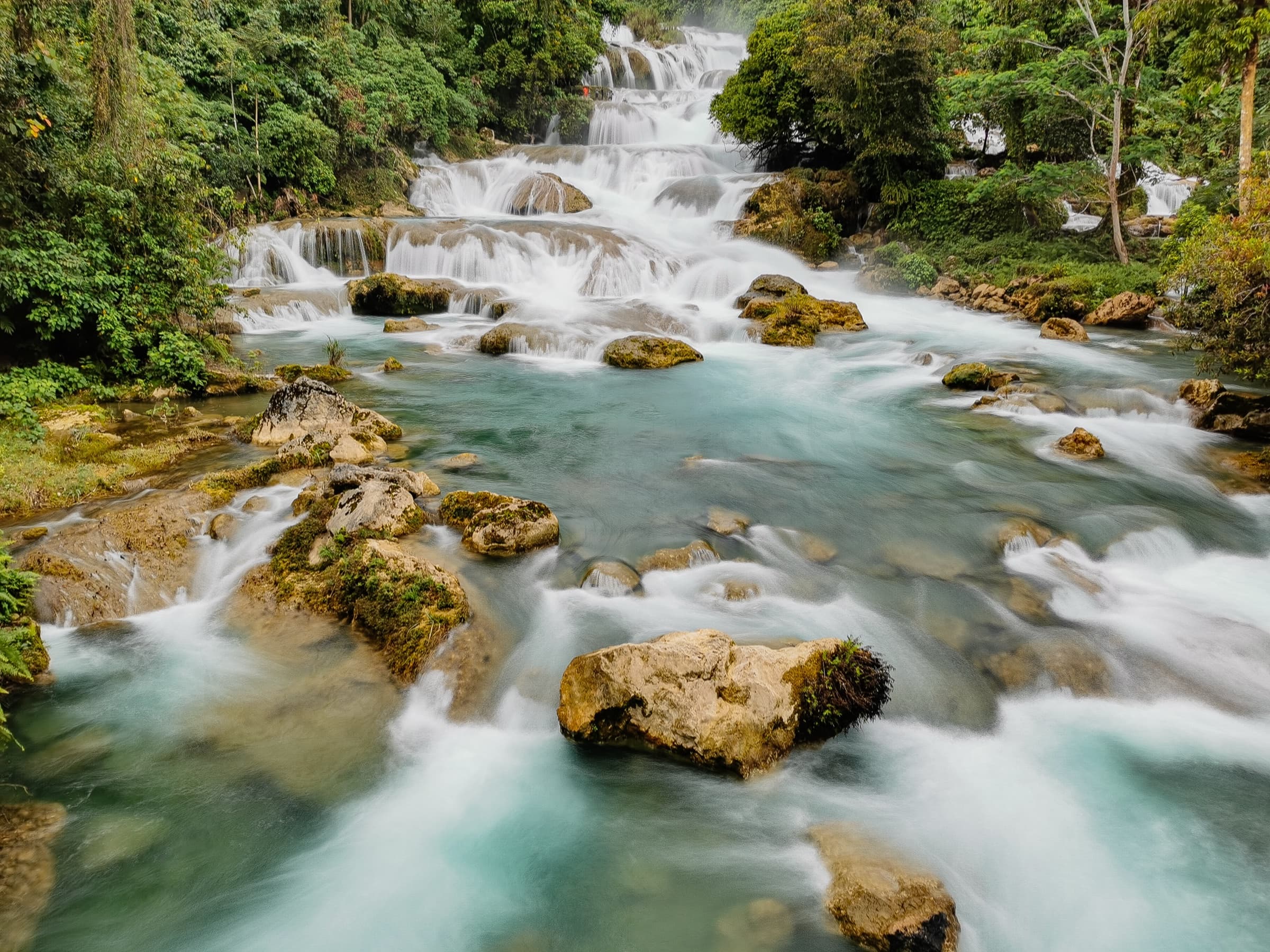
Aliwagwag Falls
Photo: Aranaleltote · CC BY-SA 4.0
About this place
Description
A long, multi-tiered cascade on the upper Cateel River system in the municipality of Cateel, beside the highway linking Cateel with Compostela in Davao de Oro. It lies within the Aliwagwag Protected Landscape, established by presidential proclamation in 2011.
Aliwagwag Falls descends in a long series of steps through forest in the village of Aliwagwag. The provincial tourism page calls it the 'Stairway to Heaven', says it is regarded as the highest waterfall in the Philippines, and places it about 45 minutes by road from Cateel town.
The falls give their name to the Aliwagwag Protected Landscape, which Wikipedia describes as protecting the headwaters of the Cateel River, a source of irrigation water for rice-growing communities in Davao Oriental and Davao de Oro. The protected landscape was created by Proclamation No. 139 in 2011 and was included as a national park under Republic Act No. 11038 (the Expanded NIPAS Act of 2018).
An eco-park with an entrance sign reading 'Aliwagwag Falls Eco Park' is shown in Wikimedia Commons photographs. Opening hours, fees and operator must be supplied by the province or the Municipality of Cateel.
Sources: Provincial Government of Davao Oriental, 'Where to Go?' tourism page (archived official website); Wikipedia: Aliwagwag Protected Landscape.
Gallery
Photographs
Aliwagwag Falls. Location as stated by the uploader on Wikimedia Commons; not independently verified. Photo: Aranaleltote · CC BY-SA 4.0
Aliwagwag Falls. Location as stated by the uploader on Wikimedia Commons; not independently verified. Photo: Andre Lloyd Torres · CC BY-SA 4.0
Aliwagwag Falls Eco Park, cascades seen from the landscaped path. Cateel, Davao Oriental. Photo: Provincial Information Office, Provincial Government of Davao Oriental · Philippine government work (RA 8293 Sec. 176)
Plan your visit
Getting there and what to expect
Location and map
- Aliwagwag Falls
- Cateel, Davao Oriental
- 7.7431° N, 126.2989° E
Directions
Directions — awaiting official content
- Responsible office
- Provincial Tourism Office
- Required source
- Route, road condition and transport information confirmed by the Provincial Tourism Office
Visitor information
Visitor information — awaiting official content
- Responsible office
- Provincial Tourism Office
- Required source
- Current opening hours, fees, booking rules and operating status of the site
Available facilities
Available facilities — awaiting official content
- Responsible office
- Provincial Tourism Office
- Required source
- Site facility inventory from the Provincial Tourism Office or the managing body
Responsible tourism guidelines
Site-specific guidelines — awaiting official content
- Responsible office
- Provincial Tourism Office
- Required source
- Site rules issued by the managing body or protected-area management board
Contact details
Contact details — awaiting official content
- Responsible office
- Provincial Tourism Office
- Required source
- Current telephone number, e-mail address and office in charge of the site
Verification and sources
Public record · pending validationFrom public records — pending official validation.
Source: Provincial Government of Davao Oriental, 'Where to Go?' tourism page (archived official website) and 1 other public source — not yet validated by the Provincial Tourism Office. Conflict: the provincial page speaks of '127 steps'; Wikipedia says 84 steps. Neither figure is used in the summary. 'High…Responsible office: Provincial Tourism OfficeLast updated:
Nearby and related
Continue exploring
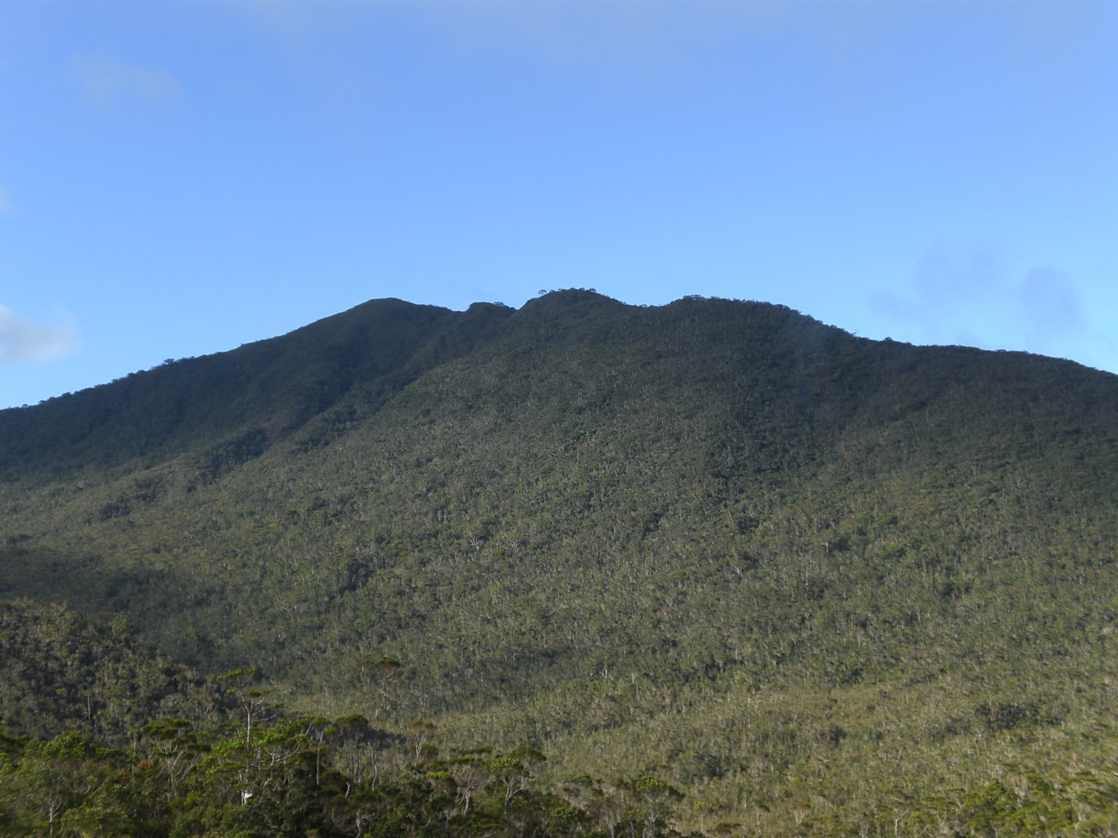 Nature and ecotourism · Mountains and waterfallsMount Hamiguitan Range Wildlife SanctuarySan Isidro6.7172° N, 126.1734° E
Photo: Kleomarlo · CC BY-SA 3.0
Same category
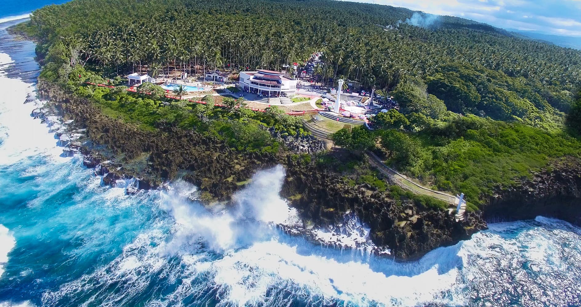 Nature and ecotourism · Beaches and coastal destinationsPusan PointCaraga7.2933° N, 126.6044° E
Photo: Provincial Information Office, Provincial Government of Davao Oriental · Philippine government work (RA 8293 Sec. 176)
Same category
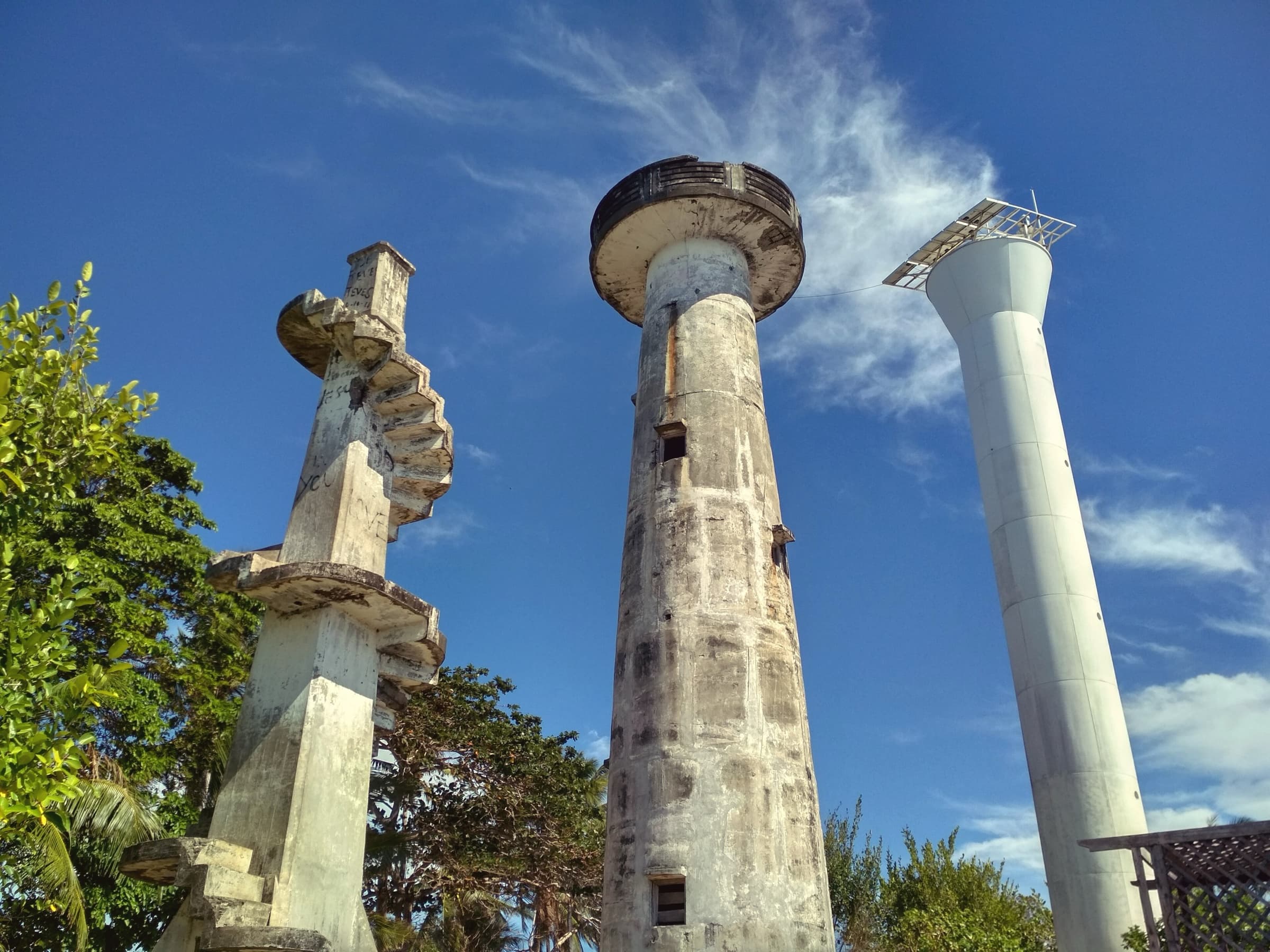 Beaches and coastal destinations · Culture and heritageCape San AgustinGovernor Generoso6.2693° N, 126.1930° E
Photo: Tubanismo · CC BY-SA 4.0
Same category