
Beaches and coastal destinations · Culture and heritage · Nature and ecotourism
Cape San Agustin
Photo: Tubanismo · CC BY-SA 4.0
About this place
Description
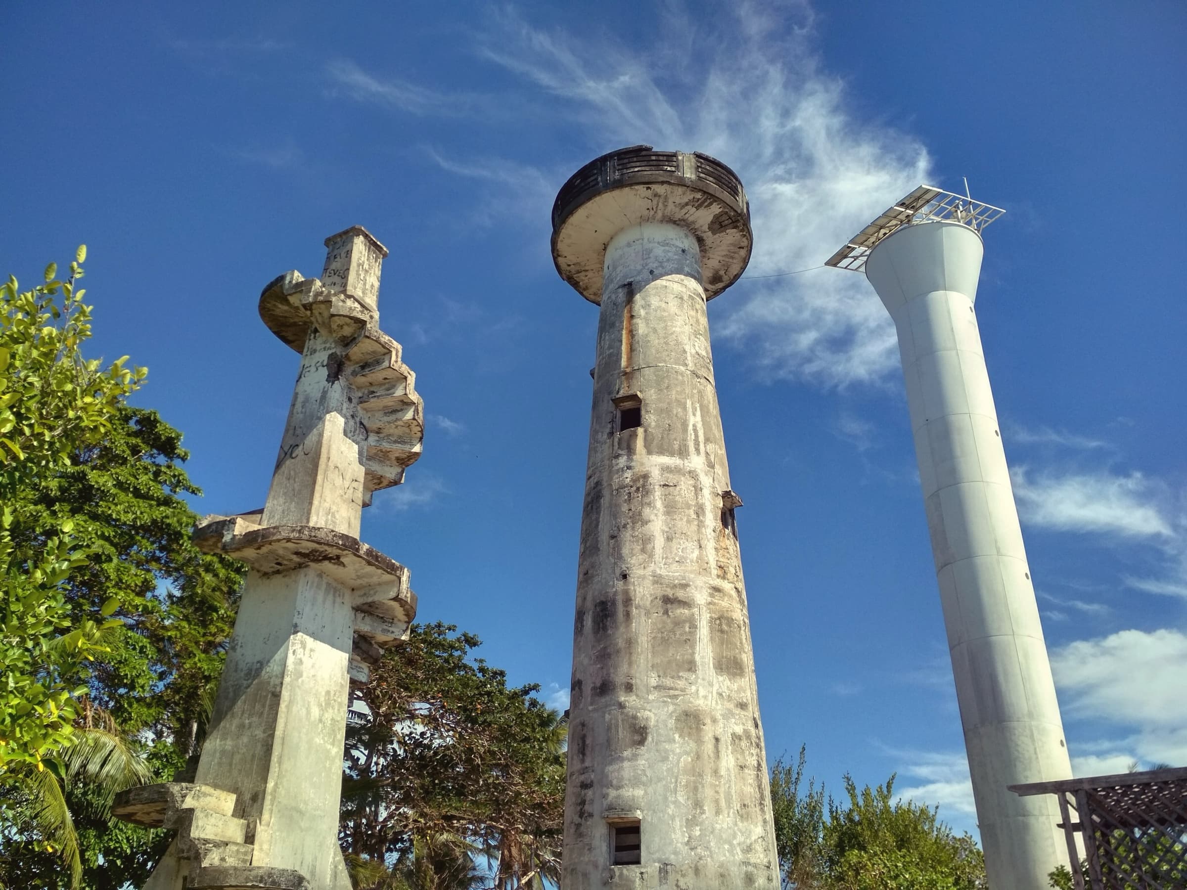
The cape at the southern tip of the Pujada Peninsula in Governor Generoso, where the Davao Gulf meets the Pacific Ocean. Three lighthouses of different periods stand on its crest, and a rock formation known as 'The Altar' is linked by local tradition to St. Francis Xavier.
According to the provincial tourism page, the cape's position at the meeting of the Pacific Ocean and the Davao Gulf made it an important navigational point, which is why three lighthouses (parola) were built there at different times. The page also mentions mangroves on one side and a pinkish beach on the other.
An altar-like rock formation at the shore is, by oral tradition repeated on the provincial page, the place where St. Francis Xavier is said to have celebrated Mass around 1550. This is tradition rather than documented history and should be presented as such.
The provincial government operates the Cape San Agustin Eco-Park; a 2023 provincial post reported that it earned the highest ticket sales among provincial eco-parks in 2022. Current fees and hours were not found.
Sources: Provincial Government of Davao Oriental, 'Where to Go?' tourism page (archived official website); PIO post on eco-park ticket sales (archived); OpenStreetMap Nominatim (coordinates).
Gallery
Photographs
Cape San Agustin lighthouses. Location as stated by the uploader on Wikimedia Commons; not independently verified. Photo: Tubanismo · CC BY-SA 4.0
The Altar rock formation, Cape San Agustin. Location as stated by the uploader on Wikimedia Commons; not independently verified. Photo: Tubanismo · CC BY-SA 4.0
Cape San Agustin and its lighthouse seen from the air. Governor Generoso, Davao Oriental. Photo: Provincial Information Office, Provincial Government of Davao Oriental · Philippine government work (RA 8293 Sec. 176)
Plan your visit
Getting there and what to expect
Location and map
- Cape San Agustin
- Governor Generoso, Davao Oriental
- 6.2693° N, 126.1930° E
Directions
Directions — awaiting official content
- Responsible office
- Provincial Tourism Office
- Required source
- Route, road condition and transport information confirmed by the Provincial Tourism Office
Visitor information
Visitor information — awaiting official content
- Responsible office
- Provincial Tourism Office
- Required source
- Current opening hours, fees, booking rules and operating status of the site
Available facilities
Available facilities — awaiting official content
- Responsible office
- Provincial Tourism Office
- Required source
- Site facility inventory from the Provincial Tourism Office or the managing body
Responsible tourism guidelines
Site-specific guidelines — awaiting official content
- Responsible office
- Provincial Tourism Office
- Required source
- Site rules issued by the managing body or protected-area management board
Contact details
Contact details — awaiting official content
- Responsible office
- Provincial Tourism Office
- Required source
- Current telephone number, e-mail address and office in charge of the site
Verification and sources
Public record · pending validationFrom public records — pending official validation.
Source: Provincial Government of Davao Oriental, 'Where to Go?' tourism page (archived official website) and 2 other public sources — not yet validated by the Provincial Tourism OfficeResponsible office: Provincial Tourism OfficeLast updated:
Nearby and related
Continue exploring
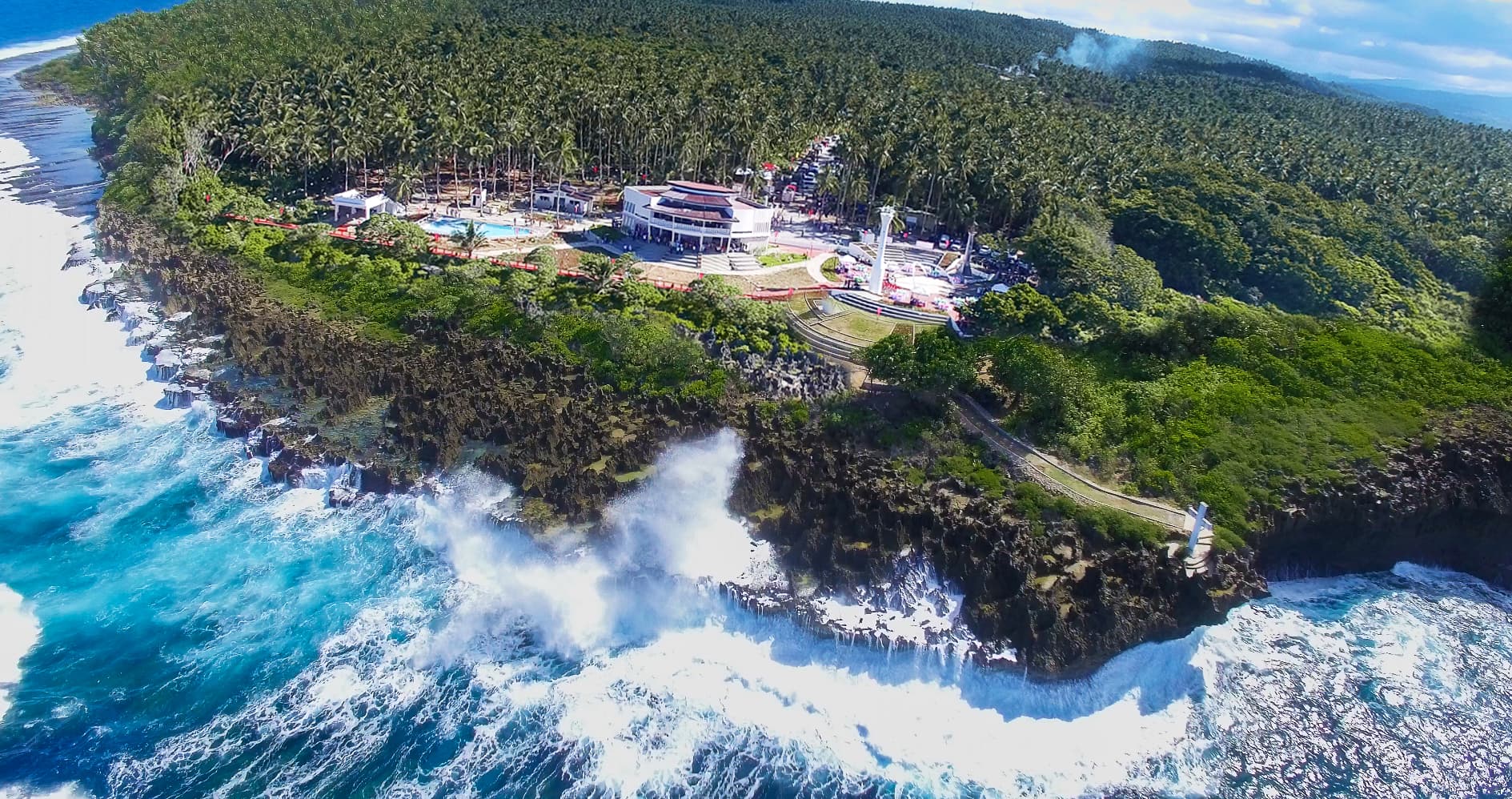 Nature and ecotourism · Beaches and coastal destinationsPusan PointCaraga7.2933° N, 126.6044° E
Photo: Provincial Information Office, Provincial Government of Davao Oriental · Philippine government work (RA 8293 Sec. 176)
Same category
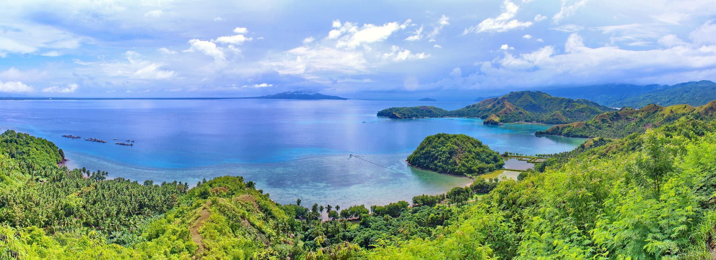 Beaches and coastal destinations · Nature and ecotourismPujada BayCity of Mati6.8914° N, 126.2272° E
Photo: Michael E. Peligro · CC BY-SA 4.0
Same category
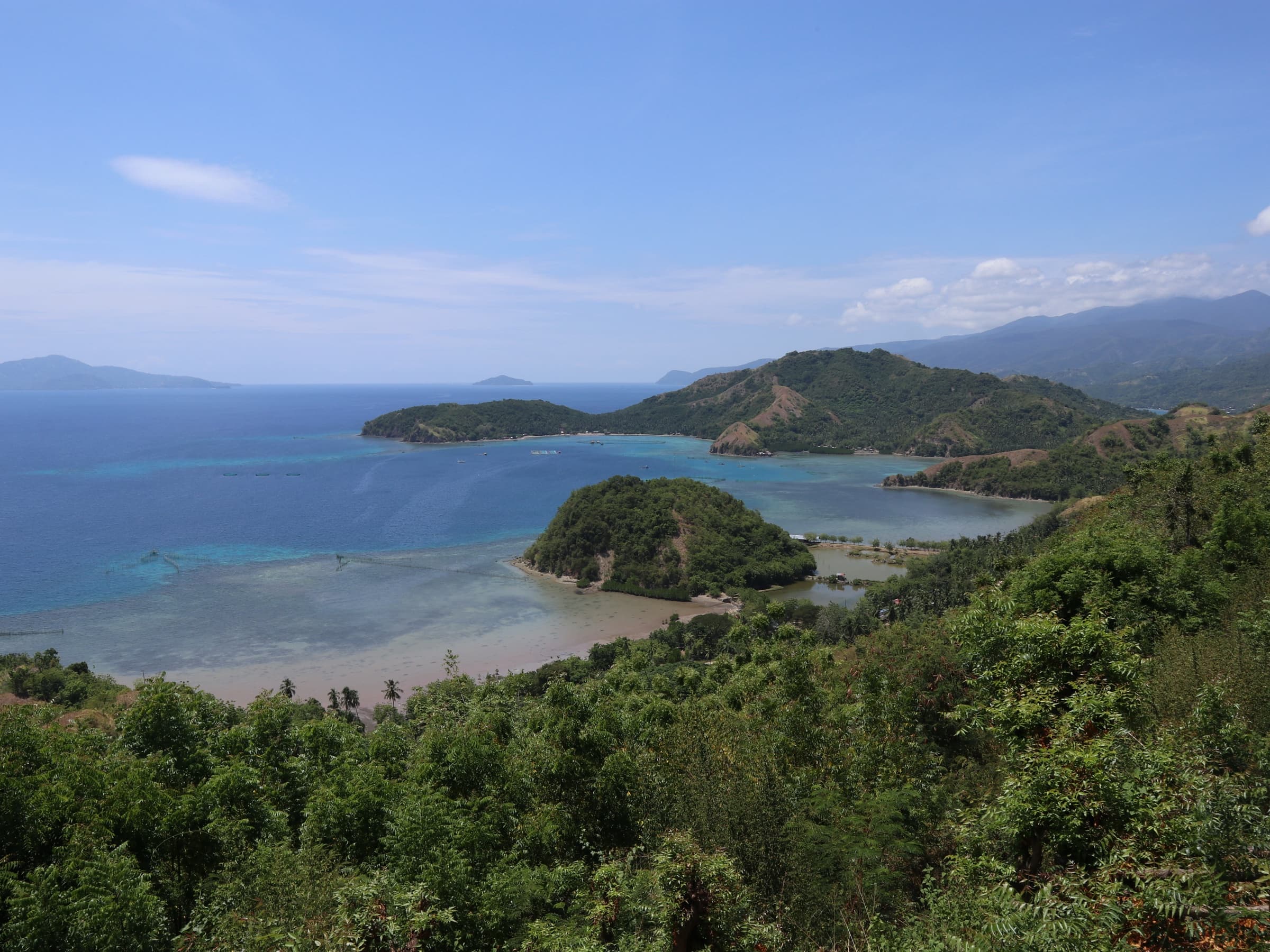 Nature and ecotourism · Beaches and coastal destinationsSleeping DinosaurCity of Mati6.8902° N, 126.1802° E
Photo: Patrickroque01 · CC BY-SA 4.0
Same category