
Nature and ecotourism · Mountains and waterfalls
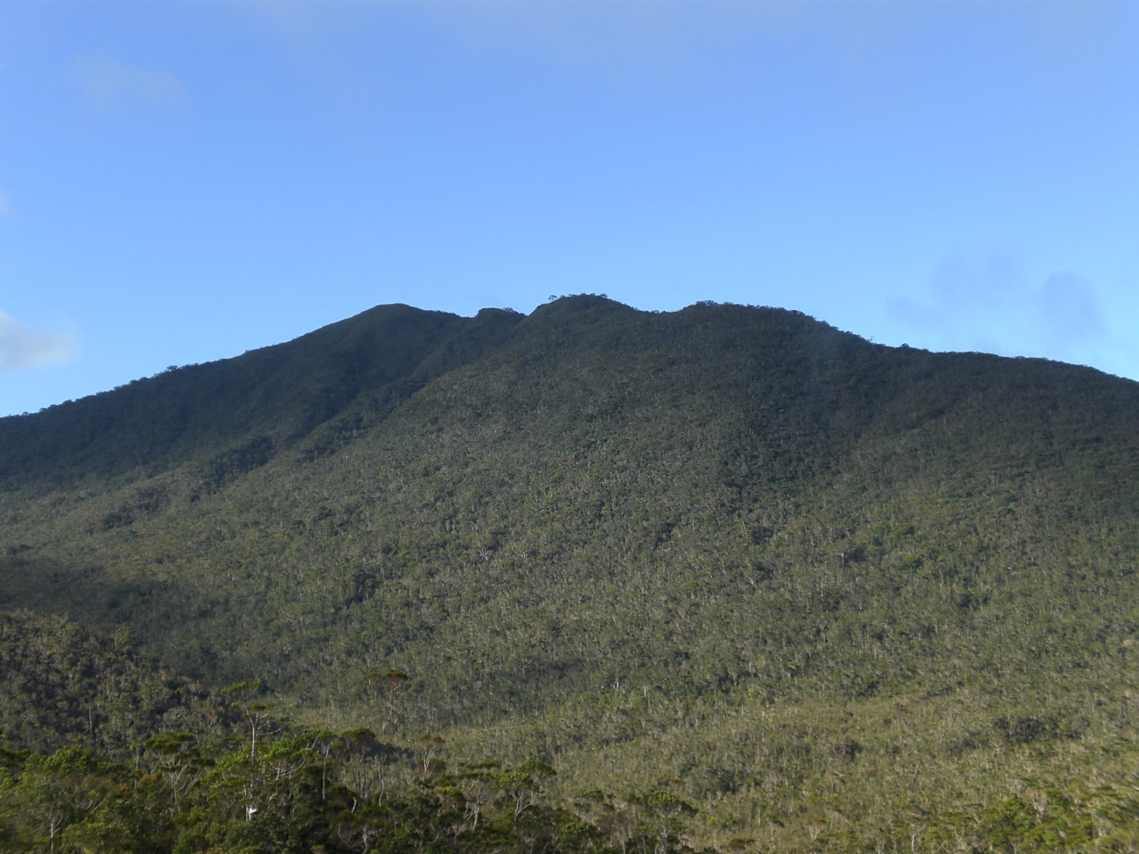
Mount Hamiguitan Range Wildlife Sanctuary
Photo: Kleomarlo · CC BY-SA 3.0
About this place
Description
A protected mountain ridge on the Pujada Peninsula inscribed on the UNESCO World Heritage List in 2014 under natural criterion (x). UNESCO records an elevation range of 75 to 1,637 metres and habitat for threatened and endemic plants and animals, eight of which are found only here.
The sanctuary runs north to south along the Pujada Peninsula in the south-eastern part of the Eastern Mindanao Biodiversity Corridor. According to UNESCO, the property covers 16,923.07 hectares and shows a sequence of terrestrial and aquatic habitats at different elevations, each responding to different soil and climate conditions.
UNESCO's statement of Outstanding Universal Value highlights the tropical 'bonsai' (pygmy) forest on the upper slopes and notes that the site shelters globally threatened and endemic species, including the Philippine eagle and the Philippine cockatoo. The provincial tourism page adds that the range spans San Isidro, Governor Generoso and the City of Mati and mentions features known locally as Tinagong Dagat ('hidden sea') and twin waterfalls.
Wikipedia notes that the range was declared a national park and wildlife sanctuary in 2003 and that it was the first World Heritage Site in Mindanao and the sixth in the Philippines. Access to the core zone is controlled; current trekking rules, permits and the status of the Mount Hamiguitan eco-park and museum in San Isidro must be confirmed with the province before publication.
Sources: UNESCO World Heritage Centre open dataset, record id 1403; Provincial Government of Davao Oriental, 'Where to Go?' tourism page (archived official website); Wikipedia: Mount Hamiguitan.
Gallery
Photographs
Mount Hamiguitan. Location as stated by the uploader on Wikimedia Commons; not independently verified. Photo: Kleomarlo · CC BY-SA 3.0
Nepenthes hamiguitanensis pitcher plant on Mount Hamiguitan. Location as stated by the uploader on Wikimedia Commons; not independently verified. Photo: Thomas Gronemeyer · CC BY-SA 4.0
Nepenthes peltata pitcher plant on Mount Hamiguitan. Location as stated by the uploader on Wikimedia Commons; not independently verified. Photo: Kleo Marlo Sialongo · CC BY 2.0
Mount Hamiguitan range above an open field of low vegetation. San Isidro, Davao Oriental. Photo: Provincial Information Office, Provincial Government of Davao Oriental · Philippine government work (RA 8293 Sec. 176)
Low montane vegetation on the Mount Hamiguitan range. San Isidro, Davao Oriental. Photo: Provincial Information Office, Provincial Government of Davao Oriental · Philippine government work (RA 8293 Sec. 176)
Dwarf tree in the pygmy ('bonsai') forest of Mount Hamiguitan. San Isidro, Davao Oriental. Photo: Kleomarlo · CC BY-SA 3.0
Plan your visit
Getting there and what to expect
Location and map
- Mount Hamiguitan Range Wildlife Sanctuary
- San Isidro, Davao Oriental
- 6.7172° N, 126.1734° E
Directions
Directions — awaiting official content
- Responsible office
- Provincial Tourism Office
- Required source
- Route, road condition and transport information confirmed by the Provincial Tourism Office
Visitor information
Visitor information — awaiting official content
- Responsible office
- Provincial Tourism Office
- Required source
- Current opening hours, fees, booking rules and operating status of the site
Available facilities
Available facilities — awaiting official content
- Responsible office
- Provincial Tourism Office
- Required source
- Site facility inventory from the Provincial Tourism Office or the managing body
Responsible tourism guidelines
Site-specific guidelines — awaiting official content
- Responsible office
- Provincial Tourism Office
- Required source
- Site rules issued by the managing body or protected-area management board
Contact details
Contact details — awaiting official content
- Responsible office
- Provincial Tourism Office
- Required source
- Current telephone number, e-mail address and office in charge of the site
Verification and sources
Public record · pending validationFrom public records — pending official validation.
Source: UNESCO World Heritage Centre open dataset, record id 1403 and 2 other public sources — not yet validated by the Provincial Tourism Office. The human-readable UNESCO page (https://whc.unesco.org/en/list/1403/) was blocked by a bot challenge; the same data was read from UNESCO's open-data API. Summit…Responsible office: Provincial Tourism OfficeLast updated:
Nearby and related
Continue exploring
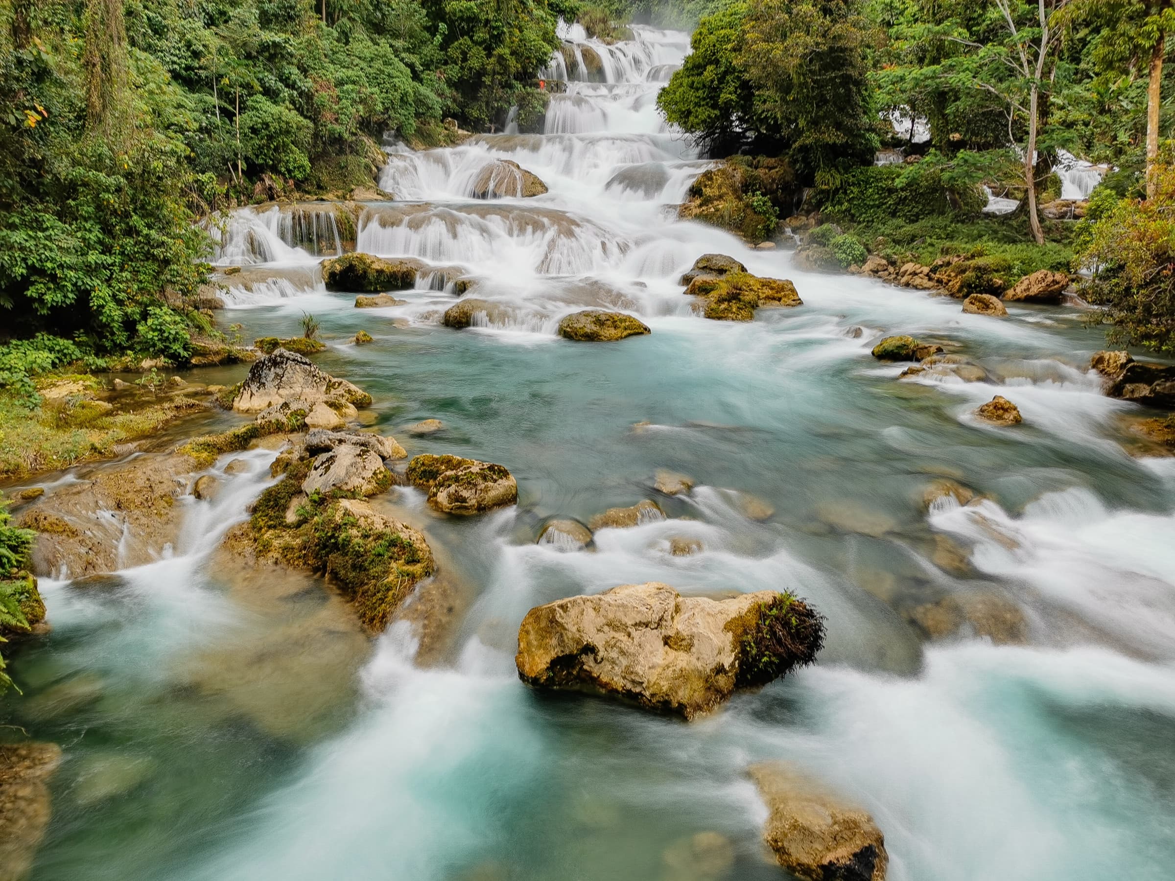 Mountains and waterfalls · Nature and ecotourismAliwagwag FallsCateel7.7431° N, 126.2989° E
Photo: Aranaleltote · CC BY-SA 4.0
Same category
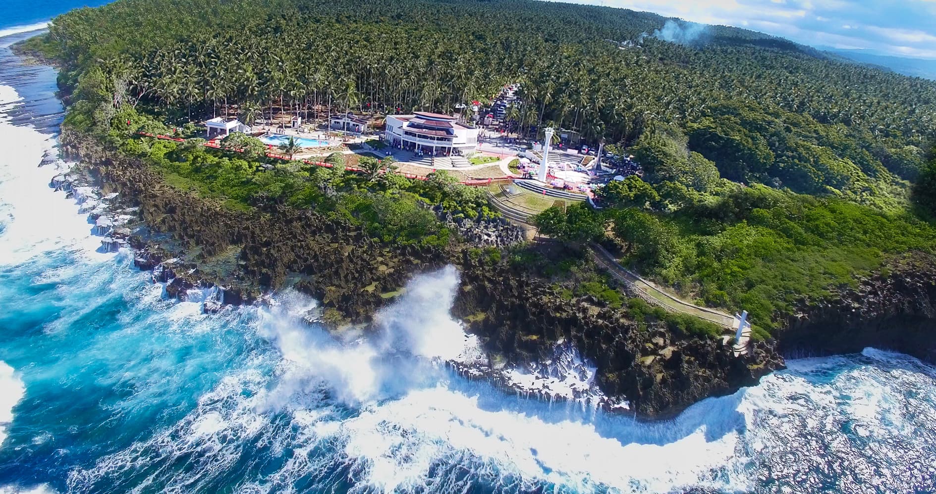 Nature and ecotourism · Beaches and coastal destinationsPusan PointCaraga7.2933° N, 126.6044° E
Photo: Provincial Information Office, Provincial Government of Davao Oriental · Philippine government work (RA 8293 Sec. 176)
Same category
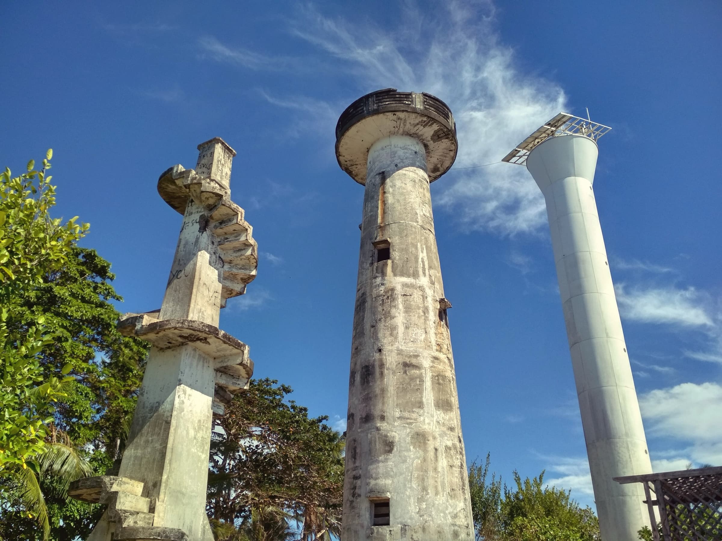 Beaches and coastal destinations · Culture and heritageCape San AgustinGovernor Generoso6.2693° N, 126.1930° E
Photo: Tubanismo · CC BY-SA 4.0
Same category