
Culture and heritage
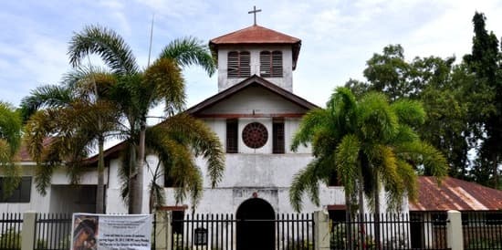
San Salvador del Mundo Church (Caraga Church)
Photo: Olan214 · CC BY-SA 3.0
About this place
Description
The Roman Catholic parish church of Caraga, a stone-and-wood mission church completed in 1884 and described by the provincial government as Mindanao's oldest church. It was restored by the National Historical Commission of the Philippines and reopened in July 2020.
According to Wikipedia, Caraga town was established in 1861; after the Jesuits took over its spiritual administration in 1871, a stone and wooden church was begun in 1877 and completed in 1884, dedicated to San Salvador del Mundo. It belongs to the Diocese of Mati.
A provincial government post reports that the church was declared a national historical site in 2012, that the National Historical Commission of the Philippines carried out a two-year restoration, and that the restored church was turned over to the Diocese of Mati on 6 July 2020.
The town fiesta in honour of San Salvador del Mundo is listed by the provincial tourism office on 15-16 July. Mass schedules and visiting arrangements should be confirmed with the parish.
Sources: PIO post on the church's reopening (archived); Wikipedia: San Salvador del Mundo Church (Caraga); Provincial 'Fiestas and Festivals' page (archived).
Gallery
Photographs
Facade of San Salvador del Mundo Church (Caraga Church). Caraga, Davao Oriental. Photo: Olan214 · CC BY-SA 3.0
Plan your visit
Getting there and what to expect
Location and map
- San Salvador del Mundo Church (Caraga Church)
- Caraga, Davao Oriental
- 7.3277° N, 126.5659° E
Directions
Directions — awaiting official content
- Responsible office
- Provincial Tourism Office
- Required source
- Route, road condition and transport information confirmed by the Provincial Tourism Office
Visitor information
Visitor information — awaiting official content
- Responsible office
- Provincial Tourism Office
- Required source
- Current opening hours, fees, booking rules and operating status of the site
Available facilities
Available facilities — awaiting official content
- Responsible office
- Provincial Tourism Office
- Required source
- Site facility inventory from the Provincial Tourism Office or the managing body
Responsible tourism guidelines
Site-specific guidelines — awaiting official content
- Responsible office
- Provincial Tourism Office
- Required source
- Site rules issued by the managing body or protected-area management board
Contact details
Contact details — awaiting official content
- Responsible office
- Provincial Tourism Office
- Required source
- Current telephone number, e-mail address and office in charge of the site
Verification and sources
Public record · pending validationFrom public records — pending official validation.
Source: PIO post on the church's reopening (archived) and 2 other public sources — not yet validated by the Provincial Tourism Office. Only 550-pixel photographs exist on Wikimedia Commons; none downloaded.Responsible office: Provincial Tourism OfficeLast updated:
Nearby and related
Continue exploring
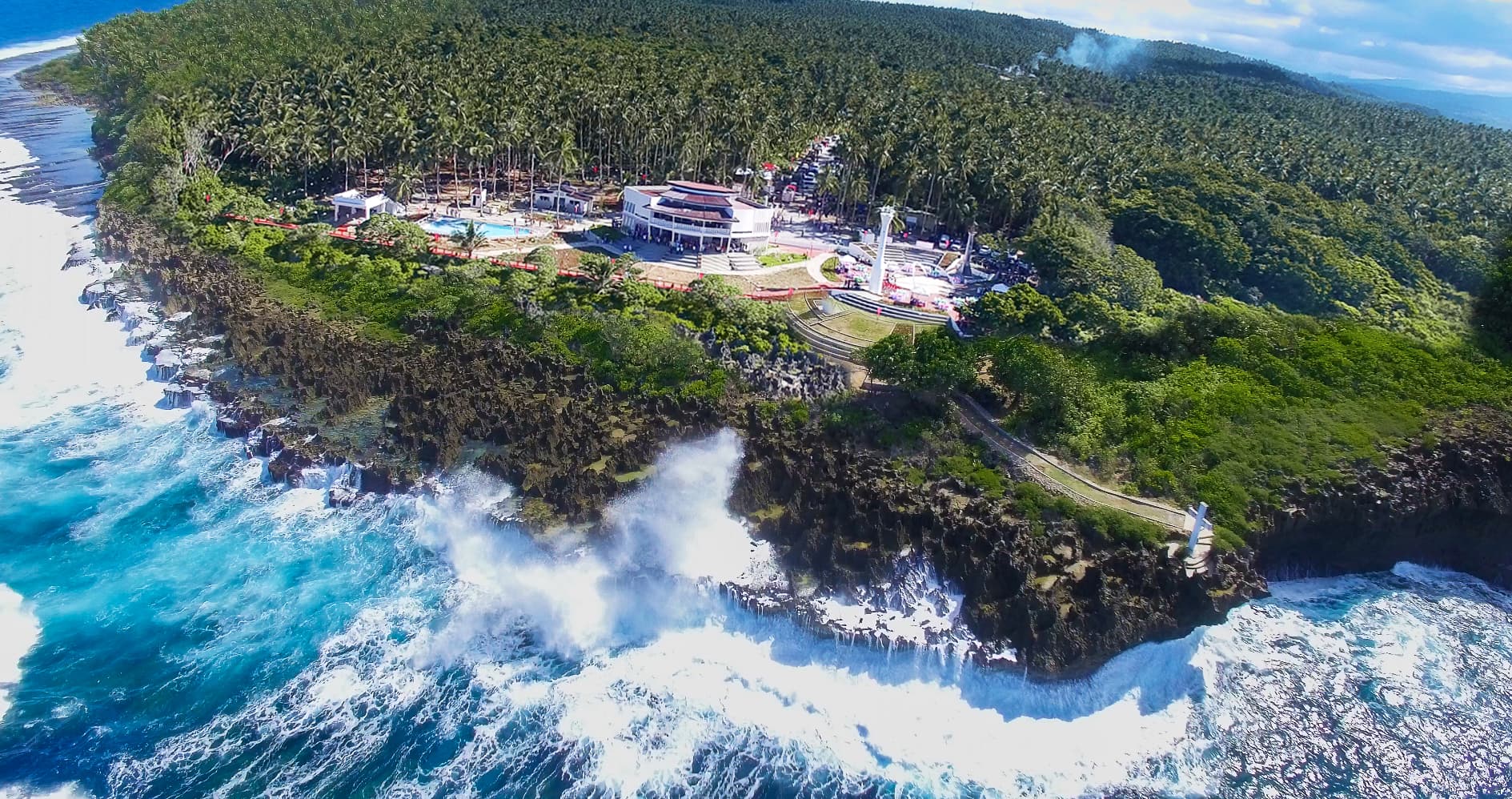 Nature and ecotourism · Beaches and coastal destinationsPusan PointCaraga7.2933° N, 126.6044° E
Photo: Provincial Information Office, Provincial Government of Davao Oriental · Philippine government work (RA 8293 Sec. 176)
Also in Caraga
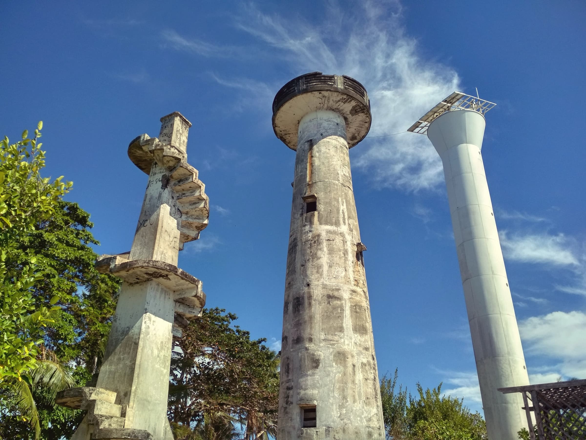 Beaches and coastal destinations · Culture and heritageCape San AgustinGovernor Generoso6.2693° N, 126.1930° E
Photo: Tubanismo · CC BY-SA 4.0
Same category
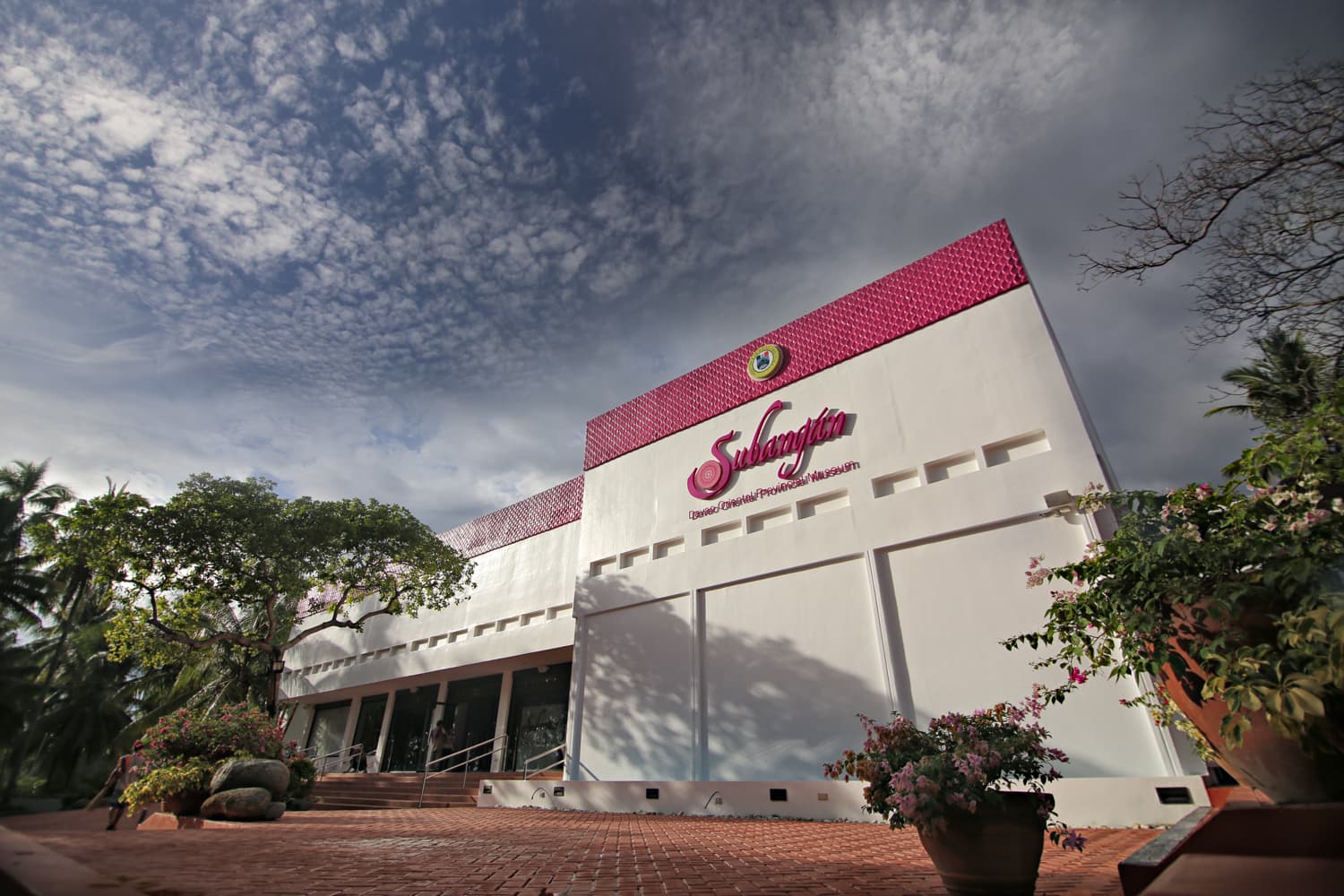 Culture and heritage · Indigenous cultural experiencesSubangan - Davao Oriental Provincial MuseumCity of Mati6.9443° N, 126.2483° E
Photo: Provincial Information Office, Provincial Government of Davao Oriental (photo: Eden Jhan Licayan) · Philippine government work (RA 8293 Sec. 176)
Same category